43:
182:
311:
264:
325:
188:
713:
91:
57:
53:
47:
302:
235:– You must give appropriate credit, provide a link to the license, and indicate if changes were made. You may do so in any reasonable manner, but not in any way that suggests the licensor endorses you or your use.
102:
70:
712:
707:
61:
42:
730:{{Information |description=滨海旅游区-基辅号航母 |date={{Original upload date|2010-02-26}} |source=http://www.panoramio.com/photo/32622995 |author= |permission={{cc-b...
445:
767:
160:
171:
589:
554:
518:
482:
318:
780:
This file contains additional information, probably added from the digital camera or scanner used to create or digitize it.
574:
417:
744:
610:
538:
466:
438:
425:
410:
644:
582:
567:
502:
383:
366:
150:
723:
783:
If the file has been modified from its original state, some details may not fully reflect the modified file.
762:
740:
The following pages on the
English Knowledge (XXG) use this file (pages on other projects are not listed):
198:
446:
https://web.archive.org/web/20161015065124/http://www.panoramio.com/user/4118199?with_photo_id=32622995
279:
195:
110:
283:, who confirmed that it was available on Panoramio under the above license on that date.
324:
97:
590:
https://web.archive.org/web/20161015065123/http://www.panoramio.com/photo/32622995
308:
151:
https://web.archive.org/web/20161015065123/http://www.panoramio.com/photo/32622995
272:
680:
Click on a date/time to view the file as it appeared at that time.
603:
303:
39° 09′ 19.76″ N, 117° 48′ 23.64″ E
310:
293:
258:
85:
350:
Add a one-line explanation of what this file represents
124:
109:
Commons is a freely licensed media file repository.
277:, was automatically reviewed on 5 November 2016 by
75:(1,024 × 683 pixels, file size: 738 KB, MIME type:
90:
181:
8:
269:This image, which was originally posted to
242:https://creativecommons.org/licenses/by/3.0
218:– to copy, distribute and transmit the work
785:
682:
346:
755:The following other wikis use this file:
519:Creative Commons Attribution 3.0 Unported
792:Intel(R) JPEG Library, version 1,5,4,36
787:
742:
658:
642:
624:
608:
552:
536:
516:
500:
480:
464:
397:
381:
364:
361:
342:
335:
296:
142:26 February 2010 (original upload date)
317:View this and other nearby images on:
7:
671:
271:
187:
778:
355:
349:
209:
178:
122:
68:
354:
248:Creative Commons Attribution 3.0
611:coordinates of the point of view
340:
323:
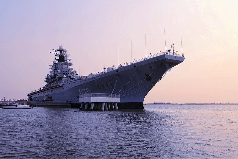
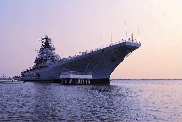
309:
262:
229:Under the following conditions:
194:This file is licensed under the
186:
180:
89:
31:
21:
337:
14:
626:39°9'19.760"N, 117°48'23.645"E
555:file available on the internet
336:
26:
1:
36:
745:Soviet aircraft carrier Kiev
411:object of statement has role
362:Items portrayed in this file
130:滨海旅游区-基辅号航母 - panoramio.jpg
809:
759:Usage on zh.wikipedia.org
672:
16:
339:
199:Attribution 3.0 Unported
96:This is a file from the
729:
166:
156:
146:
141:
138:
127:
100:. Information from its
708:13:37, 5 November 2016
329:39.155489; 117.806568
103:description page there
46:Size of this preview:
725:Panoramio upload bot
280:Panoramio upload bot
224:– to adapt the work
52:Other resolutions:
426:author name string
62:1,024 × 683 pixels
796:
795:
789:JPEG file comment
751:Global file usage
733:
503:copyright license
348:
334:
333:
291:
290:
287:
286:
175:
172:Reusing this file
118:
117:
98:Wikimedia Commons
32:Global file usage
800:
786:
720:
660:26 February 2010
592:
587:
583:described at URL
577:
572:
467:copyright status
448:
443:
433:
430:
420:
415:
330:
327:
313:
312:
306:
305:
294:
275:
266:
265:
259:
255:
252:
249:
246:
243:
207:
196:Creative Commons
190:
189:
184:
183:
169:
131:
125:
114:
93:
92:
86:
80:
78:
65:
58:640 × 427 pixels
54:320 × 213 pixels
48:800 × 534 pixels
808:
807:
803:
802:
801:
799:
798:
797:
774:
749:
741:
734:
726:
718:
674:
673:
670:
669:
668:
667:
666:
665:
664:
663:
661:
651:
650:
649:
647:
636:
635:
634:
633:
632:
631:
630:
629:
627:
617:
616:
615:
613:
602:
601:
600:
599:
598:
597:
596:
595:
594:
593:
588:
585:
579:
578:
573:
570:
561:
560:
559:
557:
545:
544:
543:
541:
530:
529:
528:
527:
526:
525:
524:
523:
521:
509:
508:
507:
505:
494:
493:
492:
491:
490:
489:
488:
487:
485:
473:
472:
471:
469:
458:
457:
456:
455:
454:
453:
452:
451:
450:
449:
444:
441:
435:
434:
431:
428:
422:
421:
416:
413:
404:
403:
402:
400:
390:
389:
388:
386:
375:
374:
373:
372:
371:
369:
353:
352:
351:
328:
301:
300:
297:Camera location
292:
263:
257:
256:
253:
250:
247:
244:
241:
240:
208:
205:
202:
191:
129:
120:
119:
108:
107:
106:is shown below.
82:
76:
74:
67:
66:
51:
12:
11:
5:
806:
804:
794:
793:
790:
777:
773:
772:
771:
770:
765:
753:
752:
748:
747:
739:
738:
737:
732:
731:
728:
724:
721:
715:
710:
705:
701:
700:
697:
694:
691:
688:
685:
678:
677:
662:
659:
657:
656:
655:
654:
653:
652:
648:
643:
641:
640:
639:
638:
637:
628:
625:
623:
622:
621:
620:
619:
618:
614:
609:
607:
606:
605:
604:
581:
580:
566:
565:
564:
563:
562:
558:
553:
551:
550:
549:
548:
547:
546:
542:
539:source of file
537:
535:
534:
533:
532:
531:
522:
517:
515:
514:
513:
512:
511:
510:
506:
501:
499:
498:
497:
496:
495:
486:
481:
479:
478:
477:
476:
475:
474:
470:
465:
463:
462:
461:
460:
459:
437:
436:
424:
423:
409:
408:
407:
406:
405:
401:
398:
396:
395:
394:
393:
392:
391:
387:
382:
380:
379:
378:
377:
376:
370:
365:
363:
360:
359:
358:
357:
356:
345:
344:
341:
338:
332:
331:
321:
315:
298:
289:
288:
285:
284:
267:
239:
238:
237:
236:
227:
226:
225:
219:
212:You are free:
203:
193:
192:
179:
176:
164:
163:
158:
154:
153:
148:
144:
143:
140:
136:
135:
132:
123:
121:
116:
115:
94:
84:
83:
45:
41:
40:
39:
34:
29:
24:
19:
13:
10:
9:
6:
4:
3:
2:
805:
791:
788:
784:
781:
775:
769:
766:
764:
761:
760:
758:
757:
756:
750:
746:
743:
735:
727:
722:
716:
714:
711:
709:
706:
703:
702:
698:
695:
692:
689:
686:
684:
683:
681:
675:
646:
612:
591:
584:
576:
569:
556:
540:
520:
504:
484:
468:
447:
440:
432:Binhainewarea
427:
419:
412:
385:
368:
326:
322:
320:
319:OpenStreetMap
316:
314:
304:
299:
295:
282:
281:
276:
274:
268:
261:
260:
234:
231:
230:
228:
223:
220:
217:
214:
213:
211:
210:
206:Binhainewarea
204:Attribution:
200:
197:
185:
177:
173:
168:
165:
162:
161:Binhainewarea
159:
155:
152:
149:
145:
137:
133:
126:
112:
105:
104:
99:
95:
88:
87:
81:
72:
71:Original file
63:
59:
55:
49:
44:
38:
35:
33:
30:
28:
25:
23:
20:
18:
15:
782:
779:
754:
717:1,024 × 683
679:
676:File history
418:photographer
278:
270:
232:
221:
215:
111:You can help
101:
69:
22:File history
768:天津滨海新区航母旅游区
483:copyrighted
233:attribution
134:滨海旅游区-基辅号航母
128:Description
736:File usage
693:Dimensions
399:some value
245:CC BY 3.0
167:Permission
77:image/jpeg
27:File usage
690:Thumbnail
687:Date/Time
645:inception
575:Panoramio
273:Panoramio
776:Metadata
719:(738 KB)
568:operator
343:Captions
222:to remix
216:to share
201:license.
37:Metadata
763:中新天津生态城
704:current
699:Comment
384:creator
367:depicts
347:English
73:
307:
157:Author
147:Source
696:User
254:true
251:true
139:Date
17:File
439:URL
586::
571::
442::
429::
414::
60:|
56:|
50:.
174:)
170:(
113:.
79:)
64:.
Text is available under the Creative Commons Attribution-ShareAlike License. Additional terms may apply.
