43:
307:
157:
149:
260:
171:
313:
99:
318:
603:"}},"text\/plain":{"en":{"":"heading"}}},"{\"value\":{\"amount\":\"+90\",\"unit\":\"http:\\\/\\\/www.wikidata.org\\\/entity\\\/Q28390\"},\"type\":\"quantity\"}":{"text\/html":{"en":{"P7787":"90
905:
599:
366:– You must give appropriate credit, provide a link to the license, and indicate if changes were made. You may do so in any reasonable manner, but not in any way that suggests the licensor endorses you or your use.
922:{{Information |Description={{de|Blick zum Wesergebirge}} |Source=Transferred from <br/> (Original text : ''selbst aufgenommen'') |Date=2004-09-16 (original upload date) |Author=
65:
61:
57:
53:
47:
110:
78:
600:
1033:
277:
275:; with no Invariant Sections, no Front-Cover Texts, and no Back-Cover Texts. A copy of the license is included in the section entitled
236:
267:
738:
552:
535:
499:
164:
904:
899:
69:
42:
418:
1076:
This file contains additional information, probably added from the digital camera or scanner used to create or digitize it.
993:
373:
833:
796:
759:
704:
670:
641:
614:
483:
272:
731:
572:
519:
466:
327:
1079:
If the file has been modified from its original state, some details may not fully reflect the modified file.
1053:
936:
The following pages on the
English Knowledge (XXG) use this file (pages on other projects are not listed):
372:– If you remix, transform, or build upon the material, you must distribute your contributions under the
324:
607:"}},"text\/plain":{"en":{"P7787":"90 degree"}}}}": -->
118:
915:
254:
387:
265:
Permission is granted to copy, distribute and/or modify this document under the terms of the
923:
225:
170:
940:
105:
945:
998:
426:
154:
994:
Liste der naturräumlichen
Einheiten und Landschaften in Ostwestfalen-Lippe
1008:
872:
Click on a date/time to view the file as it appeared at that time.
156:
386:
This licensing tag was added to this file as part of the GFDL
301:
141:
52° 14′ 42.43″ N, 8° 54′ 20.7″ E
131:
93:
188:
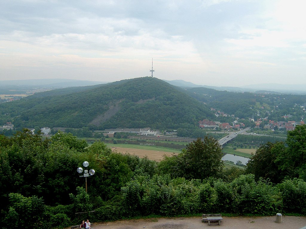
Blick zum
Wesergebirge und zum Jakobsberg mit Fernsehturm.JPG
1043:
1018:
983:
973:
963:
1023:
450:
Add a one-line explanation of what this file represents
83:(2,048 × 1,536 pixels, file size: 428 KB, MIME type:
1063:
553:
536:
Creative
Commons Attribution-ShareAlike 3.0 Unported
271:, Version 1.2 or any later version published by the
182:
117:
Commons is a freely licensed media file repository.
431:Blick zum Wesergebirge selbst aufgenommen GNU-FDL
421:. All following user names refer to de.wikipedia.
393:http://creativecommons.org/licenses/by-sa/3.0/
98:
306:
8:
399:Creative Commons Attribution-Share Alike 3.0
604:
349:– to copy, distribute and transmit the work
1081:
874:
446:
956:The following other wikis use this file:
720:ac4ac7c7614ecef63716974150fbd09e7c4ac80a
207:16 September 2004 (original upload date)
1083:
938:
847:
831:
810:
794:
773:
757:
718:
702:
684:
668:
628:
612:
586:
570:
550:
533:
517:
497:
481:
464:
461:
442:
435:
134:
163:View this and other nearby images on:
7:
999:Benutzer:Aeroid/List DE NI Immediate
328:Attribution-Share Alike 3.0 Unported
283:http://www.gnu.org/copyleft/fdl.html
863:
317:
312:
1074:
455:
449:
417:The original description page was
416:
192:
130:
76:
454:
615:coordinates of the point of view
440:
360:Under the following conditions:
323:This file is licensed under the
316:
311:
305:
259:
258:
169:
155:
147:
97:
31:
21:
437:
14:
436:
289:GNU Free Documentation License
278:GNU Free Documentation License
268:GNU Free Documentation License
193:
26:
1:
630:52°14'42.428"N, 8°54'20.700"E
36:
1088:LEAD Technologies Inc. V1.01
462:Items portrayed in this file
970:Usage on ceb.wikipedia.org
146:
1105:
1060:Usage on www.wikidata.org
1050:Usage on ru.wikipedia.org
1040:Usage on no.wikipedia.org
1030:Usage on mk.wikipedia.org
1015:Usage on et.wikipedia.org
1005:Usage on es.wikipedia.org
990:Usage on de.wikipedia.org
980:Usage on da.wikipedia.org
960:Usage on ca.wikipedia.org
429:2048×1536× (438682 bytes)
374:same or compatible license
864:
332:
304:
16:
439:
273:Free Software Foundation
104:This is a file from the
1009:Tierras altas del Weser
921:
900:15:58, 11 February 2009
231:
221:
211:
206:
203:
185:
108:. Information from its
198:Blick zum Wesergebirge
175:52.245119; 8.905750
111:description page there
46:Size of this preview:
1034:Везерско Средногорје
732:determination method
70:2,048 × 1,536 pixels
924:de:Benutzer:Arminia
413:Original upload log
355:– to adapt the work
226:de:Benutzer:Arminia
52:Other resolutions:
66:1,280 × 960 pixels
62:1,024 × 768 pixels
1092:
1091:
1085:JPEG file comment
952:Global file usage
929:
606:
588:16 September 2004
520:copyright license
448:
425:2004-09-16 20:41
410:
409:
300:
299:
247:
246:
240:
237:Reusing this file
216:Self-photographed
180:
179:
126:
125:
106:Wikimedia Commons
32:Global file usage
1096:
1082:
912:
852:
815:
778:
741:
736:
652:
651:
646:
484:copyright status
406:
403:
400:
397:
394:
391:
388:licensing update
376:as the original.
325:Creative Commons
320:
319:
315:
314:
309:
308:
302:
296:
293:
290:
287:
284:
262:
261:
255:
234:
217:
197:
189:
183:
176:
173:
159:
158:
152:
151:
150:
144:
143:
132:
122:
101:
100:
94:
88:
86:
73:
58:640 × 480 pixels
54:320 × 240 pixels
48:800 × 600 pixels
1104:
1103:
1099:
1098:
1097:
1095:
1094:
1093:
1070:
950:
937:
930:
926:Original upload
918:
910:
866:
865:
862:
861:
860:
859:
858:
857:
856:
855:
853:
850:
840:
839:
838:
836:
825:
824:
823:
822:
821:
820:
819:
818:
816:
813:
803:
802:
801:
799:
788:
787:
786:
785:
784:
783:
782:
781:
779:
776:
766:
765:
764:
762:
751:
750:
749:
748:
747:
746:
745:
744:
743:
742:
737:
734:
725:
724:
723:
721:
711:
710:
709:
707:
696:
695:
694:
693:
692:
691:
690:
689:
687:
677:
676:
675:
673:
662:
661:
660:
659:
658:
657:
656:
655:
654:
653:
649:
647:
644:
635:
634:
633:
631:
621:
620:
619:
617:
598:
597:
596:
595:
594:
593:
592:
591:
589:
579:
578:
577:
575:
564:
563:
562:
561:
560:
559:
558:
557:
555:
544:
543:
542:
541:
540:
538:
526:
525:
524:
522:
511:
510:
509:
508:
507:
506:
505:
504:
502:
490:
489:
488:
486:
475:
474:
473:
472:
471:
469:
453:
452:
451:
422:
415:
404:
401:
398:
395:
392:
385:
294:
291:
288:
285:
282:
253:
248:
215:
199:
187:
174:
148:
139:
138:
135:Camera location
128:
127:
116:
115:
114:is shown below.
90:
84:
82:
75:
74:
51:
12:
11:
5:
1102:
1100:
1090:
1089:
1086:
1073:
1069:
1068:
1067:
1066:
1058:
1057:
1056:
1048:
1047:
1046:
1038:
1037:
1036:
1028:
1027:
1026:
1021:
1013:
1012:
1011:
1003:
1002:
1001:
996:
988:
987:
986:
978:
977:
976:
968:
967:
966:
954:
953:
949:
948:
943:
935:
934:
933:
928:
927:
920:
916:
913:
909:2,048 × 1,536
907:
902:
897:
893:
892:
889:
886:
883:
880:
877:
870:
869:
854:
848:
846:
845:
844:
843:
842:
841:
837:
832:
830:
829:
828:
827:
826:
817:
811:
809:
808:
807:
806:
805:
804:
800:
795:
793:
792:
791:
790:
789:
780:
774:
772:
771:
770:
769:
768:
767:
763:
758:
756:
755:
754:
753:
752:
730:
729:
728:
727:
726:
722:
719:
717:
716:
715:
714:
713:
712:
708:
703:
701:
700:
699:
698:
697:
688:
685:
683:
682:
681:
680:
679:
678:
674:
669:
667:
666:
665:
664:
663:
640:
639:
638:
637:
636:
632:
629:
627:
626:
625:
624:
623:
622:
618:
613:
611:
610:
609:
608:
602:
590:
587:
585:
584:
583:
582:
581:
580:
576:
571:
569:
568:
567:
566:
565:
556:
551:
549:
548:
547:
546:
545:
539:
534:
532:
531:
530:
529:
528:
527:
523:
518:
516:
515:
514:
513:
512:
503:
498:
496:
495:
494:
493:
492:
491:
487:
482:
480:
479:
478:
477:
476:
470:
465:
463:
460:
459:
458:
457:
456:
445:
444:
441:
438:
434:
433:
414:
411:
408:
407:
382:
381:
380:
379:
378:
377:
367:
358:
357:
356:
350:
343:You are free:
338:
337:
334:
333:
331:
321:
298:
297:
263:
252:
249:
245:
244:
241:
229:
228:
223:
219:
218:
213:
209:
208:
205:
201:
200:
190:
181:
178:
177:
167:
161:
136:
129:
124:
123:
102:
92:
91:
45:
41:
40:
39:
34:
29:
24:
19:
13:
10:
9:
6:
4:
3:
2:
1101:
1087:
1084:
1080:
1077:
1071:
1065:
1062:
1061:
1059:
1055:
1054:Везер (холмы)
1052:
1051:
1049:
1045:
1044:Weserbergland
1042:
1041:
1039:
1035:
1032:
1031:
1029:
1025:
1022:
1020:
1019:Weserbergland
1017:
1016:
1014:
1010:
1007:
1006:
1004:
1000:
997:
995:
992:
991:
989:
985:
984:Weserbergland
982:
981:
979:
975:
972:
971:
969:
965:
964:Weserbergland
962:
961:
959:
958:
957:
951:
947:
944:
942:
941:Weser Uplands
939:
931:
925:
919:
914:
908:
906:
903:
901:
898:
895:
894:
890:
887:
884:
881:
878:
876:
875:
873:
867:
835:
798:
761:
740:
733:
706:
672:
643:
616:
574:
554:
537:
521:
501:
485:
468:
432:
428:
424:
423:
420:
412:
389:
384:
383:
375:
371:
368:
365:
362:
361:
359:
354:
351:
348:
345:
344:
342:
341:
340:
339:
336:
335:
329:
326:
322:
310:
303:
280:
279:
274:
270:
269:
264:
257:
256:
250:
242:
238:
233:
230:
227:
224:
220:
214:
210:
202:
196:
191:
184:
172:
168:
166:
165:OpenStreetMap
162:
160:
142:
137:
133:
120:
113:
112:
107:
103:
96:
95:
89:
80:
79:Original file
71:
67:
63:
59:
55:
49:
44:
38:
35:
33:
30:
28:
25:
23:
20:
18:
15:
1078:
1075:
1024:Wesergebirge
974:Wesergebirge
955:
946:Wesergebirge
871:
868:File history
430:
396:CC BY-SA 3.0
369:
363:
352:
346:
276:
266:
194:
145:
119:You can help
109:
77:
22:File history
500:copyrighted
370:share alike
364:attribution
186:Description
932:File usage
885:Dimensions
686:image/jpeg
671:media type
232:Permission
85:image/jpeg
27:File usage
882:Thumbnail
879:Date/Time
760:data size
573:inception
330:license.
251:Licensing
195:Deutsch:
1072:Metadata
911:(428 KB)
775:438,682
705:checksum
443:Captions
353:to remix
347:to share
37:Metadata
1064:Q519848
896:current
891:Comment
642:heading
601:heading
467:depicts
447:English
427:Arminia
243:GNU-FDL
81:
849:2,048
812:1,536
797:height
650:degree
605:degree
222:Author
212:Source
153:
851:pixel
834:width
814:pixel
739:SHA-1
917:TUBS
888:User
777:byte
419:here
405:true
402:true
295:true
292:true
286:GFDL
204:Date
17:File
648:90
735::
645::
68:|
64:|
60:|
56:|
50:.
390:.
281:.
239:)
235:(
121:.
87:)
72:.
Text is available under the Creative Commons Attribution-ShareAlike License. Additional terms may apply.
