300:
233:
225:
247:
268:
306:
43:
311:
99:
739:"}},"text\/plain":{"en":{"":"heading"}}},"{\"value\":{\"amount\":\"+22\",\"unit\":\"http:\\\/\\\/www.wikidata.org\\\/entity\\\/Q28390\"},\"type\":\"quantity\"}":{"text\/html":{"en":{"P7787":"22
735:
877:
414:{{Information |Description = Donaghpatrick Bridge |Source = Geograph http://www.geograph.org.uk/ |Date = ~~~~~ |Author = JP |Permission = Yes |other_versions = Yes }} JP (find more nearby)
358:– You must give appropriate credit, provide a link to the license, and indicate if changes were made. You may do so in any reasonable manner, but not in any way that suggests the licensor endorses you or your use.
216:
736:
924:== {{int:filedesc}} == {{Information |Description={{en|1=Donaghpatrick Bridge, Donaghpatrick, Co. Meath}} |Source=From |Date=2008-02-24 |Author= |Permiss
194:
637:
601:
565:
240:
65:
61:
57:
53:
47:
822:
672:
1131:
275:
110:
994:
This file contains additional information, probably added from the digital camera or scanner used to create or digitize it.
365:
78:
528:
806:
777:
750:
650:
621:
549:
521:
506:
493:
708:
680:
665:
585:
466:
449:
906:
901:
262:
321:
1100:
997:
If the file has been modified from its original state, some details may not fully reflect the modified file.
934:
The following pages on the
English Knowledge (XXG) use this file (pages on other projects are not listed):
1150:
364:– If you remix, transform, or build upon the material, you must distribute your contributions under the
282:
on the
Geograph website for the photographer's contact details. The copyright on this image is owned by
318:
1186:
743:"}},"text\/plain":{"en":{"P7787":"22 degree"}}}}": -->
917:
887:
118:
409:
687:
657:
513:
876:
871:
69:
42:
246:
1168:
1023:
938:
287:
105:
1063:
230:
1196:
162:
1043:
943:
1006:
183:
173:
1033:
267:
1016:
279:
971:
961:
844:
Click on a date/time to view the file as it appeared at that time.
232:
217:
53° 41′ 37.95″ N, 6° 45′ 39.04″ W
207:
93:
433:
Add a one-line explanation of what this file represents
401:
981:
83:(1,536 × 1,152 pixels, file size: 201 KB, MIME type:
201:
Creative
Commons Attribution Share-alike license 2.0
137:
117:
Commons is a freely licensed media file repository.
602:
Creative
Commons Attribution-ShareAlike 2.0 Generic
404:. All following user names refer to en.wikipedia.
1191:Flash did not fire, compulsory flash suppression
375:https://creativecommons.org/licenses/by-sa/2.0
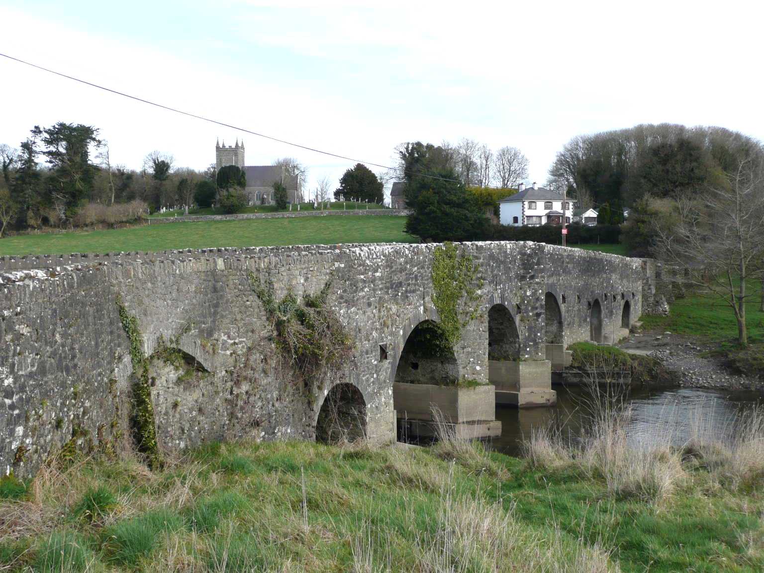
153:Donaghpatrick Bridge, Donaghpatrick, Co. Meath
98:
381:Creative Commons Attribution-Share Alike 2.0
299:
8:
740:
341:– to copy, distribute and transmit the work
999:
846:
429:
954:The following other wikis use this file:
688:https://www.geograph.org.uk/photo/704754
514:https://www.geograph.org.uk/profile/8888
1204:
1194:
1184:
1176:
1166:
1158:
1148:
1140:
1129:
1121:
1113:
1105:
1095:
1087:
1079:
1071:
1060:
1052:
1041:
1031:
1021:
1011:
936:
820:
804:
764:
748:
722:
706:
635:
619:
599:
583:
563:
547:
480:
464:
447:
444:
425:
418:
210:
239:View this and other nearby images on:
1001:
7:
286:and is licensed for reuse under the
835:
322:Attribution-Share Alike 2.0 Generic
310:
305:
290:Attribution-ShareAlike 2.0 license.
992:
438:
432:
400:The original description page was
399:
296:
273:
147:
130:
76:
437:
1054:Date and time of data generation
751:coordinates of the point of view
423:
352:Under the following conditions:
317:This file is licensed under the
309:
304:
298:
266:
245:
231:
223:
97:
31:
21:
420:
148:
14:
638:file available on the internet
419:
274:This image was taken from the
26:
1:
766:53°41'37.950"N, 6°45'39.042"W
36:
673:Geograph Britain and Ireland
522:object of statement has role
445:Items portrayed in this file
1142:Date and time of digitizing
222:
1226:
1209:One-chip color area sensor
978:Usage on www.wikidata.org
968:Usage on gv.wikipedia.org
958:Usage on ga.wikipedia.org
366:same or compatible license
1107:File change date and time
836:
16:
651:geograph.org.uk image ID
422:
412:640×480× (152386 bytes)
332:
143:Donaghpatrick Bridge.jpg
104:This is a file from the
1145:10:16, 24 February 2008
1057:10:16, 24 February 2008
923:
902:14:19, 8 September 2010
893:
823:Panasonic Lumix DMC-TZ3
189:
179:
168:
161:
158:
140:
108:. Information from its
1101:FinePix Viewer Ver.1.1
280:this photograph's page
251:53.693875; -6.760845
111:description page there
46:Size of this preview:
1160:Maximum land aperture
1081:Horizontal resolution
872:21:06, 8 January 2011
1110:19:53, 25 March 2008
70:1,536 × 1,152 pixels
1115:Y and C positioning
1089:Vertical resolution
1003:Camera manufacturer
396:Original upload log
347:– to adapt the work
52:Other resolutions:
1163:3.44 APEX (f/3.29)
494:author name string
66:1,280 × 960 pixels
62:1,024 × 768 pixels
1213:
1212:
1028:1/250 sec (0.004)
972:Domhnach Phádraig
962:Domhnach Phádraig
950:Global file usage
927:
742:
586:copyright license
431:
408:2010-09-04 20:54
295:
294:
278:collection. See
256:
255:
205:
204:
198:
195:Reusing this file
126:
125:
106:Wikimedia Commons
32:Global file usage
1217:
1123:Exposure Program
1000:
914:
884:
788:
787:
782:
724:24 February 2008
690:
685:
681:described at URL
675:
670:
660:
655:
550:copyright status
531:
526:
516:
511:
501:
498:
388:
385:
382:
379:
376:
368:as the original.
330:
319:Creative Commons
313:
312:
308:
307:
302:
301:
288:Creative Commons
276:Geograph project
270:
263:
252:
249:
235:
234:
228:
227:
226:
220:
219:
208:
192:
164:
163:24 February 2008
152:
144:
138:
122:
101:
100:
94:
88:
86:
73:
58:640 × 480 pixels
54:320 × 240 pixels
48:800 × 600 pixels
1225:
1224:
1220:
1219:
1218:
1216:
1215:
1214:
988:
948:
935:
928:
920:
912:
890:
882:
838:
837:
834:
833:
832:
831:
830:
829:
828:
827:
825:
813:
812:
811:
809:
798:
797:
796:
795:
794:
793:
792:
791:
790:
789:
785:
783:
780:
771:
770:
769:
767:
757:
756:
755:
753:
734:
733:
732:
731:
730:
729:
728:
727:
725:
715:
714:
713:
711:
700:
699:
698:
697:
696:
695:
694:
693:
692:
691:
686:
683:
677:
676:
671:
668:
662:
661:
656:
653:
644:
643:
642:
640:
628:
627:
626:
624:
613:
612:
611:
610:
609:
608:
607:
606:
604:
592:
591:
590:
588:
577:
576:
575:
574:
573:
572:
571:
570:
568:
556:
555:
554:
552:
541:
540:
539:
538:
537:
536:
535:
534:
533:
532:
527:
524:
518:
517:
512:
509:
503:
502:
499:
496:
487:
486:
485:
483:
473:
472:
471:
469:
458:
457:
456:
455:
454:
452:
436:
435:
434:
405:
398:
390:
389:
386:
383:
380:
377:
374:
373:
331:
328:
325:
314:
291:
261:
250:
224:
215:
214:
211:Camera location
206:
174:geograph.org.uk
154:
142:
135:
128:
127:
116:
115:
114:is shown below.
90:
84:
82:
75:
74:
51:
12:
11:
5:
1223:
1221:
1211:
1210:
1207:
1206:Sensing method
1203:
1202:
1199:
1193:
1192:
1189:
1183:
1182:
1179:
1175:
1174:
1171:
1165:
1164:
1161:
1157:
1156:
1153:
1147:
1146:
1143:
1139:
1138:
1135:
1128:
1127:
1126:Normal program
1124:
1120:
1119:
1116:
1112:
1111:
1108:
1104:
1103:
1098:
1094:
1093:
1090:
1086:
1085:
1082:
1078:
1077:
1074:
1070:
1069:
1066:
1059:
1058:
1055:
1051:
1050:
1047:
1040:
1039:
1036:
1030:
1029:
1026:
1020:
1019:
1014:
1010:
1009:
1004:
991:
987:
986:
985:
984:
976:
975:
974:
966:
965:
964:
952:
951:
947:
946:
941:
933:
932:
931:
926:
925:
922:
918:
915:
909:
904:
899:
896:
895:
894:Larger version
892:
888:
885:
881:1,536 × 1,152
879:
874:
869:
865:
864:
861:
858:
855:
852:
849:
842:
841:
826:
821:
819:
818:
817:
816:
815:
814:
810:
805:
803:
802:
801:
800:
799:
776:
775:
774:
773:
772:
768:
765:
763:
762:
761:
760:
759:
758:
754:
749:
747:
746:
745:
744:
738:
726:
723:
721:
720:
719:
718:
717:
716:
712:
707:
705:
704:
703:
702:
701:
679:
678:
664:
663:
649:
648:
647:
646:
645:
641:
636:
634:
633:
632:
631:
630:
629:
625:
622:source of file
620:
618:
617:
616:
615:
614:
605:
600:
598:
597:
596:
595:
594:
593:
589:
584:
582:
581:
580:
579:
578:
569:
564:
562:
561:
560:
559:
558:
557:
553:
548:
546:
545:
544:
543:
542:
520:
519:
505:
504:
492:
491:
490:
489:
488:
484:
481:
479:
478:
477:
476:
475:
474:
470:
465:
463:
462:
461:
460:
459:
453:
448:
446:
443:
442:
441:
440:
439:
428:
427:
424:
421:
417:
416:
397:
394:
372:
371:
370:
369:
359:
350:
349:
348:
342:
335:You are free:
326:
316:
315:
297:
293:
292:
271:
260:
257:
254:
253:
243:
237:
212:
203:
202:
199:
187:
186:
181:
177:
176:
170:
166:
165:
160:
156:
155:
145:
136:
134:
131:
129:
124:
123:
102:
92:
91:
45:
41:
40:
39:
34:
29:
24:
19:
13:
10:
9:
6:
4:
3:
2:
1222:
1208:
1205:
1200:
1198:
1195:
1190:
1188:
1185:
1180:
1177:
1172:
1170:
1169:Metering mode
1167:
1162:
1159:
1154:
1152:
1151:Exposure bias
1149:
1144:
1141:
1136:
1133:
1130:
1125:
1122:
1117:
1114:
1109:
1106:
1102:
1099:
1097:Software used
1096:
1091:
1088:
1083:
1080:
1075:
1072:
1067:
1065:
1061:
1056:
1053:
1048:
1045:
1042:
1037:
1035:
1032:
1027:
1025:
1024:Exposure time
1022:
1018:
1015:
1012:
1008:
1005:
1002:
998:
995:
989:
983:
980:
979:
977:
973:
970:
969:
967:
963:
960:
959:
957:
956:
955:
949:
945:
942:
940:
939:Donaghpatrick
937:
929:
921:
919:Angusmclellan
916:
910:
908:
905:
903:
900:
898:
897:
891:
889:Silverblaster
886:
880:
878:
875:
873:
870:
867:
866:
862:
859:
856:
853:
850:
848:
847:
845:
839:
824:
808:
807:captured with
779:
752:
710:
689:
682:
674:
667:
659:
652:
639:
623:
603:
587:
567:
551:
530:
523:
515:
508:
495:
468:
451:
415:
411:
407:
406:
403:
395:
393:
392:
378:CC BY-SA 2.0
367:
363:
360:
357:
354:
353:
351:
346:
343:
340:
337:
336:
334:
333:
327:Attribution:
323:
320:
303:
289:
285:
281:
277:
272:
269:
265:
264:
258:
248:
244:
242:
241:OpenStreetMap
238:
236:
218:
213:
209:
200:
196:
191:
188:
185:
182:
178:
175:
171:
167:
157:
151:
146:
139:
132:
120:
113:
112:
107:
103:
96:
95:
89:
80:
79:Original file
71:
67:
63:
59:
55:
49:
44:
38:
35:
33:
30:
28:
25:
23:
20:
18:
15:
1178:Light source
1064:focal length
1013:Camera model
996:
993:
953:
843:
840:File history
529:photographer
413:
391:
361:
355:
344:
338:
283:
221:
149:
119:You can help
109:
77:
22:File history
1197:Color space
1073:Orientation
566:copyrighted
362:share alike
356:attribution
141:Description
944:John Cruys
930:File usage
911:640 × 480
857:Dimensions
482:some value
410:Bashereyre
190:Permission
85:image/jpeg
27:File usage
1044:ISO speed
1007:Panasonic
982:Q10992685
854:Thumbnail
851:Date/Time
709:inception
259:Licensing
150:English:
1118:Co-sited
1034:F-number
990:Metadata
913:(149 KB)
883:(201 KB)
666:operator
426:Captions
345:to remix
339:to share
324:license.
37:Metadata
1181:Unknown
1173:Pattern
1134:version
1017:DMC-TZ3
868:current
863:Comment
778:heading
737:heading
467:creator
450:depicts
430:English
133:Summary
81:
1092:72 dpi
1084:72 dpi
1076:Normal
1068:7.3 mm
1046:rating
786:degree
741:degree
658:704754
229:
180:Author
169:Source
1187:Flash
1062:Lens
1038:f/4.1
172:From
1201:sRGB
1132:Exif
860:User
402:here
387:true
384:true
159:Date
17:File
1137:2.1
1049:100
784:22
507:URL
781::
684::
669::
654::
525::
510::
500:JP
497::
329:JP
284:JP
184:JP
68:|
64:|
60:|
56:|
50:.
1155:0
197:)
193:(
121:.
87:)
72:.
Text is available under the Creative Commons Attribution-ShareAlike License. Additional terms may apply.
