309:
38:
405:
333:
369:
393:
321:
357:
345:
381:
214:
220:
225:
90:
636:
606:
266:– You must give appropriate credit, provide a link to the license, and indicate if changes were made. You may do so in any reasonable manner, but not in any way that suggests the licensor endorses you or your use.
56:
52:
48:
42:
101:
69:
635:
630:
198:
679:
702:
517:
481:
404:
332:
308:
368:
273:
392:
320:
465:
356:
537:
501:
448:
380:
605:
600:
60:
37:
174:
344:
235:
272:– If you remix, transform, or build upon the material, you must distribute your contributions under the
232:
109:
712:
653:{{Information |Description={{de|Karte der Bahnstrecke Buchholz - Wittenberge.png}} |Author=
707:
703:
Knowledge:Kartenwerkstatt/Hilfe/Erstellung von
Bahnkarten auf Basis von OpenStreetMap
697:
662:
206:
96:
646:
616:
658:
654:
187:
168:
153:
573:
Click on a date/time to view the file as it appeared at that time.
84:
722:
732:
432:
Add a one-line explanation of what this file represents
742:
727:
128:
108:
Commons is a freely licensed media file repository.
665:
data for the background * [[:File:Germany_location_
518:
Creative
Commons Attribution-ShareAlike 2.0 Generic
74:(3,400 × 914 pixels, file size: 859 KB, MIME type:
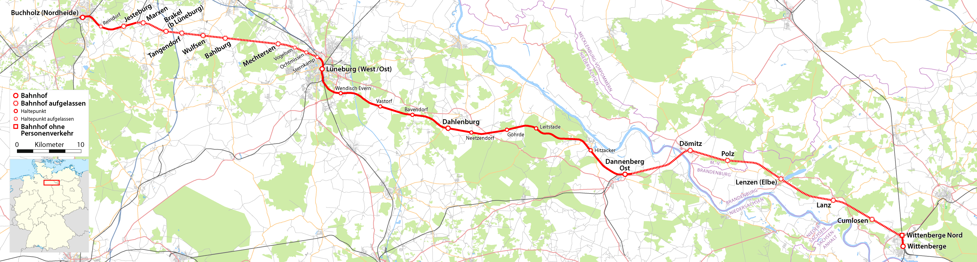
134:Karte der Bahnstrecke Buchholz - Wittenberge.png
713:Diskussion:Lüneburger Industrie- und Hafenbahn
283:https://creativecommons.org/licenses/by-sa/2.0
89:
289:Creative Commons Attribution-Share Alike 2.0
213:
8:
249:– to copy, distribute and transmit the work
144:Karte der Bahnstrecke Buchholz-Wittenberge.
575:
428:
690:The following other wikis use this file:
708:Knowledge:Kartenwerkstatt/Archiv/2009-08
677:
551:
535:
515:
499:
479:
463:
446:
443:
424:
417:
304:
7:
205:All OpenStreetMap data and maps are
675:The following page uses this file:
564:
236:Attribution-Share Alike 2.0 Generic
224:
219:
437:
431:
210:
138:
121:
67:
436:
698:Bahnstrecke Wittenberge–Buchholz
422:
403:
391:
379:
367:
355:
343:
331:
319:
307:
260:Under the following conditions:
231:This file is licensed under the
223:
218:
212:
88:
31:
21:
419:
14:
418:
139:
26:
1:
680:Wittenberge–Buchholz railway
444:Items portrayed in this file
761:
739:Usage on www.wikidata.org
719:Usage on nl.wikipedia.org
694:Usage on de.wikipedia.org
274:same or compatible license
661:) |Source={own}, using *
623:Ländergrenzen hinzugefügt
565:
16:
421:
240:
177:for the orientation map.
95:This is a file from the
652:
622:
209:"CC-BY-SA 2.0" licensed
193:
183:
171:data for the background
159:
152:
149:
131:
99:. Information from its
410:Dannenberg - Salzwedel
338:Buchholz - Wittenberge
102:description page there
41:Size of this preview:
655:Maximilian Dörrbecker
374:Uelzen - Braunschweig
188:Maximilian Dörrbecker
631:14:49, 2 August 2009
601:14:21, 8 August 2009
398:Uelzen - Dannenberg
326:Buchholz - Hannover
255:– to adapt the work
47:Other resolutions:
362:Langwedel - Uelzen
61:3,400 × 914 pixels
57:1,024 × 275 pixels
686:Global file usage
668:
502:copyright license
430:
314:Gesamtbearbeitung
302:
301:
202:
199:Reusing this file
117:
116:
97:Wikimedia Commons
32:Global file usage
752:
723:Hitzacker (Elbe)
643:
613:
466:copyright status
407:
395:
386:Uelzen - Stendal
383:
371:
359:
347:
335:
323:
311:
296:
293:
290:
287:
284:
276:as the original.
233:Creative Commons
227:
226:
222:
221:
216:
215:
207:Creative Commons
196:
164:Own work using:
155:
143:
135:
129:
113:
92:
91:
85:
79:
77:
64:
53:640 × 172 pixels
43:800 × 215 pixels
760:
759:
755:
754:
753:
751:
750:
749:
684:
669:
649:
641:
619:
611:
567:
566:
563:
562:
561:
560:
559:
558:
557:
556:
554:
544:
543:
542:
540:
529:
528:
527:
526:
525:
524:
523:
522:
520:
508:
507:
506:
504:
493:
492:
491:
490:
489:
488:
487:
486:
484:
472:
471:
470:
468:
457:
456:
455:
454:
453:
451:
435:
434:
433:
411:
408:
399:
396:
387:
384:
375:
372:
363:
360:
351:
348:
339:
336:
327:
324:
315:
312:
303:
298:
297:
294:
291:
288:
285:
282:
281:
239:
228:
145:
133:
126:
119:
118:
107:
106:
105:is shown below.
81:
75:
73:
66:
65:
49:320 × 86 pixels
46:
12:
11:
5:
758:
756:
748:
747:
746:
745:
737:
736:
735:
733:Wendisch Evern
730:
725:
717:
716:
715:
710:
705:
700:
688:
687:
683:
682:
673:
672:
667:
666:
651:
647:
644:
638:
633:
628:
625:
624:
621:
617:
614:
608:
603:
598:
594:
593:
590:
587:
584:
581:
578:
571:
570:
555:
552:
550:
549:
548:
547:
546:
545:
541:
536:
534:
533:
532:
531:
530:
521:
516:
514:
513:
512:
511:
510:
509:
505:
500:
498:
497:
496:
495:
494:
485:
480:
478:
477:
476:
475:
474:
473:
469:
464:
462:
461:
460:
459:
458:
452:
447:
445:
442:
441:
440:
439:
438:
427:
426:
423:
420:
413:
412:
409:
402:
400:
397:
390:
388:
385:
378:
376:
373:
366:
364:
361:
354:
352:
349:
342:
340:
337:
330:
328:
325:
318:
316:
313:
306:
300:
299:
280:
279:
278:
277:
267:
258:
257:
256:
250:
243:You are free:
230:
229:
211:
203:
191:
190:
185:
181:
180:
179:
178:
172:
161:
157:
156:
151:
147:
146:
136:
127:
125:
122:
120:
115:
114:
93:
83:
82:
40:
36:
35:
34:
29:
24:
19:
13:
10:
9:
6:
4:
3:
2:
757:
744:
741:
740:
738:
734:
731:
729:
726:
724:
721:
720:
718:
714:
711:
709:
706:
704:
701:
699:
696:
695:
693:
692:
691:
685:
681:
678:
676:
670:
664:
663:OpenStreetMap
660:
656:
650:
645:
639:
637:
634:
632:
629:
627:
626:
620:
615:
609:
607:
604:
602:
599:
596:
595:
591:
588:
585:
582:
579:
577:
576:
574:
568:
553:2 August 2009
539:
519:
503:
483:
467:
450:
416:
406:
401:
394:
389:
382:
377:
370:
365:
358:
353:
346:
341:
334:
329:
322:
317:
310:
305:
286:CC BY-SA 2.0
275:
271:
268:
265:
262:
261:
259:
254:
251:
248:
245:
244:
242:
241:
237:
234:
217:
208:
204:
200:
195:
192:
189:
186:
182:
176:
173:
170:
169:OpenStreetMap
167:
166:
165:
162:
158:
154:2 August 2009
148:
142:
137:
130:
123:
111:
104:
103:
98:
94:
87:
86:
80:
71:
70:Original file
62:
58:
54:
50:
44:
39:
33:
30:
28:
25:
23:
20:
18:
15:
689:
674:
640:3,400 × 914
610:3,400 × 914
572:
569:File history
414:
350:Amerikalinie
269:
263:
252:
246:
163:
140:
110:You can help
100:
68:
22:File history
482:copyrighted
270:share alike
264:attribution
132:Description
671:File usage
586:Dimensions
194:Permission
27:File usage
583:Thumbnail
580:Date/Time
538:inception
175:this file
141:Deutsch:
76:image/png
642:(822 KB)
612:(859 KB)
425:Captions
253:to remix
247:to share
238:license.
743:Q803493
728:Vastorf
597:current
592:Comment
449:depicts
429:English
124:Summary
72:
659:Chumwa
648:Chumwa
618:Chumwa
184:Author
160:Source
589:User
295:true
292:true
150:Date
17:File
415:}}
59:|
55:|
51:|
45:.
657:(
201:)
197:(
112:.
78:)
63:.
Text is available under the Creative Commons Attribution-ShareAlike License. Additional terms may apply.


