43:
301:
213:
205:
254:
227:
307:
103:
700:"}},"text\/plain":{"en":{"":"heading"}}},"{\"value\":{\"amount\":\"+344.75\",\"unit\":\"http:\\\/\\\/www.wikidata.org\\\/entity\\\/Q28390\"},\"type\":\"quantity\"}":{"text\/html":{"en":{"P7787":"344.75
312:
696:
196:
360:– You must give appropriate credit, provide a link to the license, and indicate if changes were made. You may do so in any reasonable manner, but not in any way that suggests the licensor endorses you or your use.
697:
271:
69:
65:
61:
57:
53:
47:
269:; with no Invariant Sections, no Front-Cover Texts, and no Back-Cover Texts. A copy of the license is included in the section entitled
179:
114:
261:
82:
858:
683:
647:
611:
594:
558:
220:
1066:
915:
This file contains additional information, probably added from the digital camera or scanner used to create or digitize it.
367:
892:
738:
711:
667:
631:
542:
516:
501:
486:
266:
767:
578:
459:
442:
874:
321:
918:
If the file has been modified from its original state, some details may not fully reflect the modified file.
870:
The following pages on the
English Knowledge (XXG) use this file (pages on other projects are not listed):
493:
1114:
366:– If you remix, transform, or build upon the material, you must distribute your contributions under the
704:"}},"text\/plain":{"en":{"P7787":"344.75 degree"}}}}": -->
318:
1150:
122:
853:== {{int:filedesc}} == {{Information |Description=広小路駅 |Source={{own}} |Date=2012-07-08 |Author=
835:
830:
73:
42:
1228:
854:
846:
248:
381:
259:
Permission is granted to copy, distribute and/or modify this document under the terms of the
508:
226:
1210:
1132:
944:
245:
I, the copyright holder of this work, hereby publish it under the following licenses:
109:
1238:
984:
210:
1168:
857:|Permission=GFDL }}¥ == {{int:license}} == {{Self|GFDL|Cc-by-sa-3.0-migrated}}
159:
964:
1248:
954:
937:
803:
Click on a date/time to view the file as it appeared at that time.
927:
212:
380:
This licensing tag was added to this file as part of the GFDL
295:
197:
34° 46′ 03.07″ N, 136° 07′ 47″ E
187:
97:
426:
Add a one-line explanation of what this file represents
87:(3,648 × 2,736 pixels, file size: 1.33 MB, MIME type:
902:
612:
595:
Creative
Commons Attribution-ShareAlike 3.0 Unported
265:, Version 1.2 or any later version published by the
141:
121:
Commons is a freely licensed media file repository.
1155:Flash did not fire, compulsory flash suppression
387:http://creativecommons.org/licenses/by-sa/3.0/
102:
300:
8:
393:Creative Commons Attribution-Share Alike 3.0
701:
343:– to copy, distribute and transmit the work
920:
805:
422:
407:You may select the license of your choice.
885:The following other wikis use this file:
1352:
1344:
1336:
1328:
1320:
1312:
1304:
1296:
1288:
1280:
1272:
1264:
1256:
1246:
1236:
1226:
1218:
1208:
1200:
1192:
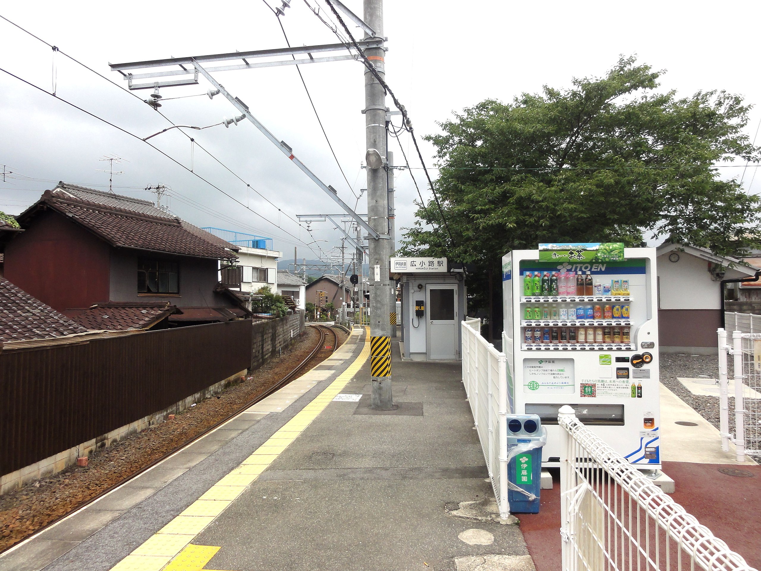
1184:
1176:
1166:
1158:
1148:
1140:
1130:
1122:
1112:
1104:
1083:
1075:
1064:
1056:
1048:
1040:
1032:
1024:
1016:
1008:
1000:
992:
981:
973:
962:
952:
942:
932:
872:
781:
765:
725:
709:
681:
665:
645:
629:
609:
592:
576:
556:
540:
473:
457:
440:
437:
418:
411:
190:
509:https://commons.wikimedia.org/user:Rsa
219:View this and other nearby images on:
922:
7:
322:Attribution-Share Alike 3.0 Unported
277:http://www.gnu.org/copyleft/fdl.html
1298:Reference for direction of movement
794:
311:
306:
913:
431:
425:
406:
244:
134:
80:
430:
1314:Reference for direction of image
975:Date and time of data generation
859:Category:Stations of Iga Railway
712:coordinates of the point of view
416:
354:Under the following conditions:
317:This file is licensed under the
310:
305:
299:
253:
252:
225:
211:
203:
101:
31:
21:
413:
202:
14:
412:
283:GNU Free Documentation License
272:GNU Free Documentation License
262:GNU Free Documentation License
26:
1:
1189:A directly photographed image
727:34°46'3.072"N, 136°7'46.999"E
684:original creation by uploader
147:Hirokoji-Station-20120708.jpg
36:
1269:Measurement interoperability
438:Items portrayed in this file
1346:GPS differential correction
1077:Date and time of digitizing
1374:
1160:Supported Flashpix version
1013:172 meters above sea level
899:Usage on www.wikidata.org
889:Usage on ko.wikipedia.org
368:same or compatible license
1330:Geodetic survey data used
1277:3-dimensional measurement
1085:Meaning of each component
1042:File change date and time
795:
326:
298:
169:
16:
648:Sony Cyber-shot DSC-HX5V
415:
267:Free Software Foundation
108:This is a file from the
1258:GPS time (atomic clock)
1194:Custom image processing
852:
175:
165:
158:
155:
144:
112:. Information from its
1106:Image compression mode
875:Hirokōji Station (Mie)
231:34.767520; 136.129722
115:description page there
46:Size of this preview:
1306:Direction of movement
1290:Speed of GPS receiver
1124:Maximum land aperture
1026:Horizontal resolution
1181:Digital still camera
74:3,648 × 2,736 pixels
70:2,560 × 1,920 pixels
1285:Kilometers per hour
1127:3.625 APEX (f/3.51)
1050:Y and C positioning
1034:Vertical resolution
924:Camera manufacturer
831:22:40, 19 July 2012
349:– to adapt the work
52:Other resolutions:
1322:Direction of image
1317:Magnetic direction
1220:Scene capture type
1215:Auto white balance
1080:10:05, 8 July 2012
1045:10:05, 8 July 2012
978:10:05, 8 July 2012
517:author name string
487:Wikimedia username
66:1,280 × 960 pixels
62:1,024 × 768 pixels
1361:
1360:
949:1/200 sec (0.005)
881:Global file usage
863:
703:
579:copyright license
424:
404:
403:
294:
293:
236:
235:
185:
184:
130:
129:
110:Wikimedia Commons
32:Global file usage
1365:
1274:Measurement mode
1058:Exposure Program
921:
843:
749:
748:
743:
543:copyright status
524:
521:
511:
506:
496:
491:
400:
397:
394:
391:
388:
385:
382:licensing update
370:as the original.
319:Creative Commons
314:
313:
309:
308:
303:
302:
296:
290:
287:
284:
281:
278:
256:
255:
249:
232:
229:
215:
214:
208:
207:
206:
200:
199:
188:
171:
161:
148:
142:
126:
105:
104:
98:
92:
90:
77:
58:640 × 480 pixels
54:320 × 240 pixels
48:800 × 600 pixels
1373:
1372:
1368:
1367:
1366:
1364:
1363:
1362:
1354:GPS tag version
1266:Receiver status
997:34° 46′ 3.07″ N
909:
879:
871:
864:
849:
841:
797:
796:
793:
792:
791:
790:
789:
788:
787:
786:
784:
774:
773:
772:
770:
759:
758:
757:
756:
755:
754:
753:
752:
751:
750:
746:
744:
741:
732:
731:
730:
728:
718:
717:
716:
714:
695:
694:
693:
692:
691:
690:
689:
688:
686:
674:
673:
672:
670:
659:
658:
657:
656:
655:
654:
653:
652:
650:
638:
637:
636:
634:
623:
622:
621:
620:
619:
618:
617:
616:
614:
603:
602:
601:
600:
599:
597:
585:
584:
583:
581:
570:
569:
568:
567:
566:
565:
564:
563:
561:
549:
548:
547:
545:
534:
533:
532:
531:
530:
529:
528:
527:
526:
525:
522:
519:
513:
512:
507:
504:
498:
497:
492:
489:
480:
479:
478:
476:
466:
465:
464:
462:
451:
450:
449:
448:
447:
445:
429:
428:
427:
410:
409:
408:
398:
395:
392:
389:
386:
379:
288:
285:
282:
279:
276:
247:
246:
241:
230:
204:
195:
194:
191:Camera location
186:
146:
139:
132:
131:
120:
119:
118:is shown below.
94:
88:
86:
79:
78:
51:
12:
11:
5:
1371:
1369:
1359:
1358:
1355:
1351:
1350:
1347:
1343:
1342:
1339:
1335:
1334:
1331:
1327:
1326:
1323:
1319:
1318:
1315:
1311:
1310:
1307:
1303:
1302:
1301:True direction
1299:
1295:
1294:
1291:
1287:
1286:
1283:
1279:
1278:
1275:
1271:
1270:
1267:
1263:
1262:
1259:
1255:
1254:
1251:
1245:
1244:
1241:
1235:
1234:
1231:
1225:
1224:
1221:
1217:
1216:
1213:
1207:
1206:
1203:
1199:
1198:
1197:Normal process
1195:
1191:
1190:
1187:
1183:
1182:
1179:
1175:
1174:
1171:
1165:
1164:
1161:
1157:
1156:
1153:
1147:
1146:
1143:
1139:
1138:
1135:
1129:
1128:
1125:
1121:
1120:
1117:
1111:
1110:
1107:
1103:
1102:
1101:
1100:
1099:does not exist
1097:
1094:
1091:
1086:
1082:
1081:
1078:
1074:
1073:
1070:
1063:
1062:
1061:Normal program
1059:
1055:
1054:
1051:
1047:
1046:
1043:
1039:
1038:
1035:
1031:
1030:
1027:
1023:
1022:
1019:
1015:
1014:
1011:
1007:
1006:
1003:
999:
998:
995:
991:
990:
987:
980:
979:
976:
972:
971:
968:
961:
960:
957:
951:
950:
947:
941:
940:
935:
931:
930:
925:
912:
908:
907:
906:
905:
897:
896:
895:
883:
882:
878:
877:
869:
868:
867:
862:
861:
851:
847:
844:
840:3,648 × 2,736
838:
833:
828:
824:
823:
820:
817:
814:
811:
808:
801:
800:
785:
782:
780:
779:
778:
777:
776:
775:
771:
766:
764:
763:
762:
761:
760:
737:
736:
735:
734:
733:
729:
726:
724:
723:
722:
721:
720:
719:
715:
710:
708:
707:
706:
705:
699:
687:
682:
680:
679:
678:
677:
676:
675:
671:
668:source of file
666:
664:
663:
662:
661:
660:
651:
646:
644:
643:
642:
641:
640:
639:
635:
630:
628:
627:
626:
625:
624:
615:
610:
608:
607:
606:
605:
604:
598:
593:
591:
590:
589:
588:
587:
586:
582:
577:
575:
574:
573:
572:
571:
562:
557:
555:
554:
553:
552:
551:
550:
546:
541:
539:
538:
537:
536:
535:
515:
514:
500:
499:
485:
484:
483:
482:
481:
477:
474:
472:
471:
470:
469:
468:
467:
463:
458:
456:
455:
454:
453:
452:
446:
441:
439:
436:
435:
434:
433:
432:
421:
420:
417:
414:
405:
402:
401:
376:
375:
374:
373:
372:
371:
361:
352:
351:
350:
344:
337:You are free:
332:
331:
328:
327:
325:
315:
292:
291:
257:
243:
242:
240:
237:
234:
233:
223:
217:
192:
183:
182:
177:
173:
172:
167:
163:
162:
157:
153:
152:
149:
140:
138:
135:
133:
128:
127:
106:
96:
95:
45:
41:
40:
39:
34:
29:
24:
19:
13:
10:
9:
6:
4:
3:
2:
1370:
1356:
1353:
1348:
1345:
1340:
1337:
1332:
1329:
1324:
1321:
1316:
1313:
1308:
1305:
1300:
1297:
1292:
1289:
1284:
1281:
1276:
1273:
1268:
1265:
1260:
1257:
1252:
1250:
1247:
1242:
1240:
1237:
1232:
1230:
1227:
1222:
1219:
1214:
1212:
1211:White balance
1209:
1205:Auto exposure
1204:
1202:Exposure mode
1201:
1196:
1193:
1188:
1185:
1180:
1177:
1172:
1170:
1167:
1162:
1159:
1154:
1152:
1149:
1144:
1141:
1136:
1134:
1133:Metering mode
1131:
1126:
1123:
1118:
1116:
1115:Exposure bias
1113:
1108:
1105:
1098:
1095:
1092:
1089:
1088:
1087:
1084:
1079:
1076:
1071:
1068:
1065:
1060:
1057:
1052:
1049:
1044:
1041:
1036:
1033:
1028:
1025:
1020:
1017:
1012:
1009:
1005:136° 7′ 47″ E
1004:
1001:
996:
993:
988:
986:
982:
977:
974:
969:
966:
963:
958:
956:
953:
948:
946:
945:Exposure time
943:
939:
936:
933:
929:
926:
923:
919:
916:
910:
904:
901:
900:
898:
894:
891:
890:
888:
887:
886:
880:
876:
873:
865:
860:
856:
850:
845:
839:
837:
834:
832:
829:
826:
825:
821:
818:
815:
812:
809:
807:
806:
804:
798:
769:
740:
713:
685:
669:
649:
633:
632:captured with
613:
596:
580:
560:
544:
518:
510:
503:
495:
488:
461:
444:
383:
378:
377:
369:
365:
362:
359:
356:
355:
353:
348:
345:
342:
339:
338:
336:
335:
334:
333:
330:
329:
323:
320:
316:
304:
297:
274:
273:
268:
264:
263:
258:
251:
250:
238:
228:
224:
222:
221:OpenStreetMap
218:
216:
198:
193:
189:
181:
178:
174:
168:
164:
154:
150:
143:
136:
124:
117:
116:
111:
107:
100:
99:
93:
84:
83:Original file
75:
71:
67:
63:
59:
55:
49:
44:
38:
35:
33:
30:
28:
25:
23:
20:
18:
15:
1261:01:02:41.799
1142:Light source
985:focal length
934:Camera model
917:
914:
884:
802:
799:File history
390:CC BY-SA 3.0
363:
357:
346:
340:
270:
260:
201:
123:You can help
113:
81:
22:File history
1341:8 July 2012
1178:File source
1169:Color space
1018:Orientation
893:히로코지역 (미에현)
783:8 July 2012
559:copyrighted
364:share alike
358:attribution
160:8 July 2012
145:Description
1282:Speed unit
1239:Saturation
1186:Scene type
866:File usage
816:Dimensions
475:some value
89:image/jpeg
27:File usage
1249:Sharpness
1223:Landscape
1002:Longitude
965:ISO speed
842:(1.33 MB)
813:Thumbnail
810:Date/Time
768:inception
324:license.
239:Licensing
1338:GPS date
1229:Contrast
1053:Co-sited
1010:Altitude
994:Latitude
955:F-number
938:DSC-HX5V
911:Metadata
903:Q5770462
419:Captions
347:to remix
341:to share
170:Own work
37:Metadata
1357:0.0.2.2
1145:Unknown
1137:Pattern
1069:version
989:4.25 mm
827:current
822:Comment
745:344.75
739:heading
698:heading
460:creator
443:depicts
423:English
137:Summary
85:
1333:WGS-84
1325:344.75
1309:100.05
1253:Normal
1243:Normal
1233:Normal
1037:72 dpi
1029:72 dpi
1021:Normal
967:rating
747:degree
702:degree
209:
176:Author
166:Source
1151:Flash
983:Lens
1293:12.4
1173:sRGB
1072:2.21
1067:Exif
928:SONY
819:User
399:true
396:true
289:true
286:true
280:GFDL
156:Date
151:広小路駅
17:File
970:125
959:f/8
855:Rsa
848:Rsa
523:Rsa
502:URL
494:Rsa
180:Rsa
1096:Cr
1093:Cb
742::
520::
505::
490::
72:|
68:|
64:|
60:|
56:|
50:.
1349:0
1163:1
1119:0
1109:4
1090:Y
384:.
275:.
125:.
91:)
76:.
Text is available under the Creative Commons Attribution-ShareAlike License. Additional terms may apply.
