38:
247:
208:
200:
222:
253:
258:
603:"}},"text\/plain":{"en":{"":"heading"}}},"{\"value\":{\"amount\":\"+253.56150793651\",\"unit\":\"http:\\\/\\\/www.wikidata.org\\\/entity\\\/Q28390\"},\"type\":\"quantity\"}":{"text\/html":{"en":{"P7787":"253.56150793651
98:
599:
191:
299:– You must give appropriate credit, provide a link to the license, and indicate if changes were made. You may do so in any reasonable manner, but not in any way that suggests the licensor endorses you or your use.
146:
Eastbound
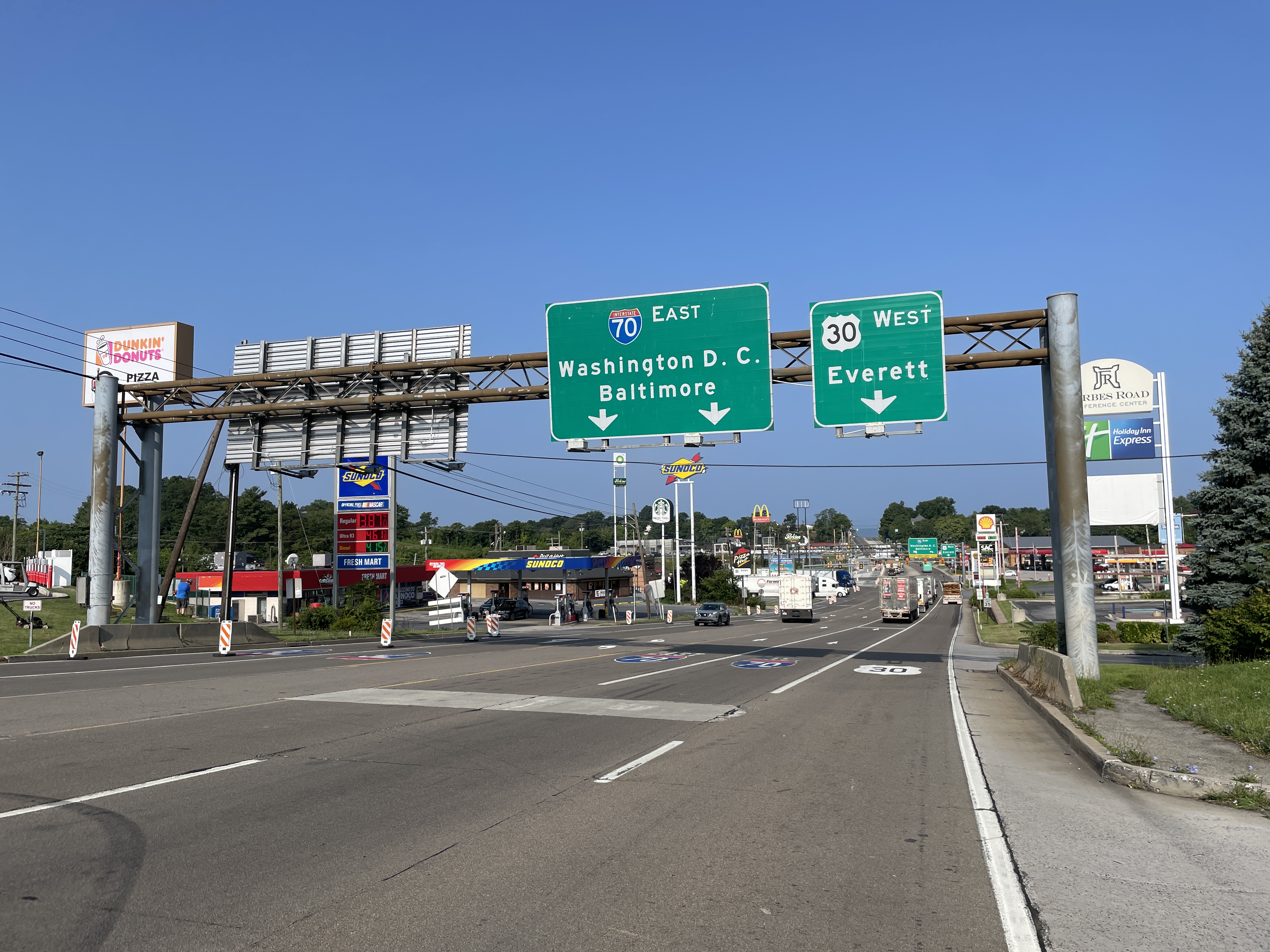
Interstate 70/westbound U.S. Route 30 (Lincoln Highway) past the interchange with the Pennsylvania Turnpike (Interstate 70/Interstate 76) in Breezewood, Pennsylvania
600:
64:
60:
56:
52:
48:
42:
109:
77:
552:
516:
480:
215:
1141:
980:
This file contains additional information, probably added from the digital camera or scanner used to create or digitize it.
942:
939:
862:
306:
969:
964:
812:
778:
741:
707:
670:
641:
614:
536:
464:
436:
421:
408:
572:
500:
381:
364:
846:
607:"}},"text\/plain":{"en":{"P7787":"253.56150793651 degree"}}}}": -->
428:
959:
268:
983:
If the file has been modified from its original state, some details may not fully reflect the modified file.
955:
The following pages on the
English Knowledge (XXG) use this file (pages on other projects are not listed):
1207:
305:– If you remix, transform, or build upon the material, you must distribute your contributions under the
265:
1227:
916:
911:
68:
37:
117:
443:
1110:
1002:
935:
927:
221:
938:|Permission= |other_versions= }} == {{int:license-header}} == {{self|cc-by-sa-4.0}}
1295:
1217:
1181:
1009:
104:
240:
I, the copyright holder of this work, hereby publish it under the following license:
1049:
205:
174:
1261:
154:
1029:
992:
1019:
884:
Click on a date/time to view the file as it appeared at that time.
207:
192:
39° 59′ 58.1″ N, 78° 14′ 08.09″ W
182:
92:
517:
Creative
Commons Attribution-ShareAlike 4.0 International
348:
Add a one-line explanation of what this file represents
82:(4,032 × 3,024 pixels, file size: 3.62 MB, MIME type:
136:
116:
Commons is a freely licensed media file repository.
1232:Flash did not fire, compulsory flash suppression
316:https://creativecommons.org/licenses/by-sa/4.0
97:
322:Creative Commons Attribution-Share Alike 4.0
246:
8:
444:https://commons.wikimedia.org/User:Dough4872
604:
282:– to copy, distribute and transmit the work
985:
886:
344:
269:Attribution-Share Alike 4.0 International
197:
1367:
1359:
1351:
1343:
1335:
1327:
1319:
1311:
1303:
1293:
1285:
1277:
1269:
1259:
1251:
1243:
1235:
1225:
1215:
1205:
1197:
1189:
1179:
1158:
1150:
1139:
1131:
1123:
1115:
1105:
1097:
1089:
1081:
1073:
1065:
1057:
1046:
1038:
1027:
1017:
1007:
997:
957:
860:
844:
826:
810:
792:
776:
755:
739:
721:
705:
684:
668:
628:
612:
586:
570:
550:
534:
514:
498:
478:
462:
395:
379:
362:
359:
340:
333:
185:
943:Category:U.S. Route 30 in Pennsylvania
940:Category:Interstate 70 in Pennsylvania
214:View this and other nearby images on:
987:
7:
1353:Reference for bearing of destination
875:
257:
252:
978:
353:
347:
243:
239:
129:
75:
1014:1/3,861 sec (0.00025900025900026)
352:
142:I-70 EB-US 30 WB past PA TPK.jpeg
1337:Reference for direction of image
1040:Date and time of data generation
615:coordinates of the point of view
338:
293:Under the following conditions:
264:This file is licensed under the
256:
251:
245:
220:
206:
198:
96:
21:
945:[[Category:Breezewood, Penns...
335:
14:
1078:405.882 meters above sea level
334:
26:
1:
1282:A directly photographed image
970:U.S. Route 30 in Pennsylvania
965:Interstate 70 in Pennsylvania
630:39°59'58.099"N, 78°14'8.092"W
553:original creation by uploader
31:
1245:DateTimeDigitized subseconds
360:Items portrayed in this file
1237:DateTimeOriginal subseconds
1152:Date and time of digitizing
1389:
1305:Focal length in 35 mm film
1274:One-chip color area sensor
1253:Supported Flashpix version
307:same or compatible license
1160:Meaning of each component
1117:File change date and time
876:
164:
16:
960:Breezewood, Pennsylvania
337:
273:
103:This is a file from the
933:
170:
160:
153:
150:
139:
107:. Information from its
1361:Bearing of destination
226:39.999472; -78.235581
110:description page there
41:Size of this preview:
1329:Speed of GPS receiver
1091:Horizontal resolution
686:0.000259000259000259
69:4,032 × 3,024 pixels
65:2,560 × 1,920 pixels
1324:Kilometers per hour
1155:08:56, 26 July 2023
1125:Y and C positioning
1120:08:56, 26 July 2023
1099:Vertical resolution
1043:08:56, 26 July 2023
989:Camera manufacturer
912:02:40, 27 July 2023
288:– to adapt the work
47:Other resolutions:
1345:Direction of image
1313:Scene capture type
1300:Auto white balance
422:Wikimedia username
409:author name string
61:1,280 × 960 pixels
57:1,024 × 768 pixels
1376:
1375:
948:
606:
501:copyright license
346:
231:
230:
180:
179:
125:
124:
105:Wikimedia Commons
1380:
1133:Exposure Program
986:
924:
760:
689:
652:
651:
648:253.56150793651
646:
465:copyright status
446:
441:
431:
426:
416:
413:
329:
326:
323:
320:
317:
309:as the original.
266:Creative Commons
260:
259:
255:
254:
249:
248:
227:
224:
210:
209:
203:
202:
201:
195:
194:
183:
166:
156:
143:
137:
121:
100:
99:
93:
87:
85:
72:
53:640 × 480 pixels
49:320 × 240 pixels
43:800 × 600 pixels
1388:
1387:
1383:
1382:
1381:
1379:
1378:
1377:
1364:253.56150793651
1348:253.56150793651
1202:10.049395458567
1199:APEX brightness
1194:1.3561438092556
1186:11.914760282307
1070:78° 14′ 8.09″ W
1062:39° 59′ 58.1″ N
974:
956:
949:
930:
922:
878:
877:
874:
873:
872:
871:
870:
869:
868:
867:
865:
853:
852:
851:
849:
838:
837:
836:
835:
834:
833:
832:
831:
829:
819:
818:
817:
815:
804:
803:
802:
801:
800:
799:
798:
797:
795:
785:
784:
783:
781:
770:
769:
768:
767:
766:
765:
764:
763:
761:
758:
748:
747:
746:
744:
733:
732:
731:
730:
729:
728:
727:
726:
724:
714:
713:
712:
710:
699:
698:
697:
696:
695:
694:
693:
692:
690:
687:
677:
676:
675:
673:
662:
661:
660:
659:
658:
657:
656:
655:
654:
653:
649:
647:
644:
635:
634:
633:
631:
621:
620:
619:
617:
598:
597:
596:
595:
594:
593:
592:
591:
589:
579:
578:
577:
575:
564:
563:
562:
561:
560:
559:
558:
557:
555:
543:
542:
541:
539:
528:
527:
526:
525:
524:
523:
522:
521:
519:
507:
506:
505:
503:
492:
491:
490:
489:
488:
487:
486:
485:
483:
471:
470:
469:
467:
456:
455:
454:
453:
452:
451:
450:
449:
448:
447:
442:
439:
433:
432:
427:
424:
418:
417:
414:
411:
402:
401:
400:
398:
388:
387:
386:
384:
373:
372:
371:
370:
369:
367:
351:
350:
349:
332:
331:
330:
327:
324:
321:
318:
315:
314:
272:
261:
242:
241:
236:
225:
199:
190:
189:
186:Camera location
181:
141:
134:
127:
126:
115:
114:
113:is shown below.
89:
83:
81:
74:
73:
46:
12:
11:
5:
1386:
1384:
1374:
1373:
1370:
1366:
1365:
1362:
1358:
1357:
1356:True direction
1354:
1350:
1349:
1346:
1342:
1341:
1340:True direction
1338:
1334:
1333:
1330:
1326:
1325:
1322:
1318:
1317:
1314:
1310:
1309:
1306:
1302:
1301:
1298:
1292:
1291:
1288:
1284:
1283:
1280:
1276:
1275:
1272:
1271:Sensing method
1268:
1267:
1264:
1258:
1257:
1254:
1250:
1249:
1246:
1242:
1241:
1238:
1234:
1233:
1230:
1224:
1223:
1220:
1214:
1213:
1210:
1204:
1203:
1200:
1196:
1195:
1192:
1188:
1187:
1184:
1178:
1177:
1176:
1175:
1174:does not exist
1172:
1169:
1166:
1161:
1157:
1156:
1153:
1149:
1148:
1145:
1138:
1137:
1136:Normal program
1134:
1130:
1129:
1126:
1122:
1121:
1118:
1114:
1113:
1108:
1104:
1103:
1100:
1096:
1095:
1092:
1088:
1087:
1084:
1080:
1079:
1076:
1072:
1071:
1068:
1064:
1063:
1060:
1056:
1055:
1052:
1045:
1044:
1041:
1037:
1036:
1033:
1026:
1025:
1022:
1016:
1015:
1012:
1006:
1005:
1003:iPhone 12 mini
1000:
996:
995:
990:
977:
973:
972:
967:
962:
954:
953:
952:
947:
946:
932:
928:
925:
921:4,032 × 3,024
919:
914:
909:
905:
904:
901:
898:
895:
892:
889:
882:
881:
866:
861:
859:
858:
857:
856:
855:
854:
850:
845:
843:
842:
841:
840:
839:
830:
827:
825:
824:
823:
822:
821:
820:
816:
811:
809:
808:
807:
806:
805:
796:
793:
791:
790:
789:
788:
787:
786:
782:
777:
775:
774:
773:
772:
771:
762:
756:
754:
753:
752:
751:
750:
749:
745:
740:
738:
737:
736:
735:
734:
725:
722:
720:
719:
718:
717:
716:
715:
711:
706:
704:
703:
702:
701:
700:
691:
685:
683:
682:
681:
680:
679:
678:
674:
669:
667:
666:
665:
664:
663:
640:
639:
638:
637:
636:
632:
629:
627:
626:
625:
624:
623:
622:
618:
613:
611:
610:
609:
608:
602:
590:
587:
585:
584:
583:
582:
581:
580:
576:
571:
569:
568:
567:
566:
565:
556:
551:
549:
548:
547:
546:
545:
544:
540:
537:source of file
535:
533:
532:
531:
530:
529:
520:
515:
513:
512:
511:
510:
509:
508:
504:
499:
497:
496:
495:
494:
493:
484:
479:
477:
476:
475:
474:
473:
472:
468:
463:
461:
460:
459:
458:
457:
435:
434:
420:
419:
407:
406:
405:
404:
403:
399:
396:
394:
393:
392:
391:
390:
389:
385:
380:
378:
377:
376:
375:
374:
368:
363:
361:
358:
357:
356:
355:
354:
343:
342:
339:
336:
313:
312:
311:
310:
300:
291:
290:
289:
283:
276:You are free:
263:
262:
244:
238:
237:
235:
232:
229:
228:
218:
212:
187:
178:
177:
172:
168:
167:
162:
158:
157:
152:
148:
147:
144:
135:
133:
130:
128:
123:
122:
101:
91:
90:
40:
36:
35:
34:
29:
24:
19:
13:
10:
9:
6:
4:
3:
2:
1385:
1371:
1368:
1363:
1360:
1355:
1352:
1347:
1344:
1339:
1336:
1331:
1328:
1323:
1320:
1315:
1312:
1307:
1304:
1299:
1297:
1296:White balance
1294:
1290:Auto exposure
1289:
1287:Exposure mode
1286:
1281:
1278:
1273:
1270:
1265:
1263:
1260:
1255:
1252:
1247:
1244:
1239:
1236:
1231:
1229:
1226:
1221:
1219:
1218:Metering mode
1216:
1211:
1209:
1208:Exposure bias
1206:
1201:
1198:
1193:
1191:APEX aperture
1190:
1185:
1183:
1182:Shutter speed
1180:
1173:
1170:
1167:
1164:
1163:
1162:
1159:
1154:
1151:
1146:
1143:
1140:
1135:
1132:
1127:
1124:
1119:
1116:
1112:
1109:
1107:Software used
1106:
1101:
1098:
1093:
1090:
1085:
1082:
1077:
1074:
1069:
1066:
1061:
1058:
1053:
1051:
1047:
1042:
1039:
1034:
1031:
1028:
1023:
1021:
1018:
1013:
1011:
1010:Exposure time
1008:
1004:
1001:
998:
994:
991:
988:
984:
981:
975:
971:
968:
966:
963:
961:
958:
950:
944:
941:
937:
931:
926:
920:
918:
915:
913:
910:
907:
906:
902:
899:
896:
893:
890:
888:
887:
885:
879:
864:
848:
814:
780:
743:
709:
672:
671:exposure time
643:
616:
574:
554:
538:
518:
502:
482:
466:
445:
438:
430:
423:
410:
383:
366:
319:CC BY-SA 4.0
308:
304:
301:
298:
295:
294:
292:
287:
284:
281:
278:
277:
275:
274:
270:
267:
250:
233:
223:
219:
217:
216:OpenStreetMap
213:
211:
193:
188:
184:
176:
173:
169:
163:
159:
149:
145:
138:
131:
119:
112:
111:
106:
102:
95:
94:
88:
79:
78:Original file
70:
66:
62:
58:
54:
50:
44:
39:
33:
30:
28:
25:
23:
20:
18:
15:
1372:26 July 2023
1266:Uncalibrated
1050:focal length
999:Camera model
982:
979:
883:
880:File history
742:focal length
588:26 July 2023
302:
296:
285:
279:
196:
155:26 July 2023
118:You can help
108:
76:
22:File history
1262:Color space
1083:Orientation
847:instance of
481:copyrighted
303:share alike
297:attribution
140:Description
1321:Speed unit
1279:Scene type
951:File usage
897:Dimensions
863:photograph
828:image/jpeg
813:media type
759:millimetre
397:some value
84:image/jpeg
27:File usage
1067:Longitude
1030:ISO speed
936:Dough4872
929:Dough4872
923:(3.62 MB)
894:Thumbnail
891:Date/Time
779:ISO speed
573:inception
429:Dough4872
415:Dough4872
234:Licensing
175:Dough4872
1369:GPS date
1316:Standard
1128:Centered
1075:Altitude
1059:Latitude
1020:F-number
976:Metadata
708:f-number
341:Captions
286:to remix
280:to share
271:license.
165:Own work
32:Metadata
1222:Pattern
1144:version
908:current
903:Comment
642:heading
601:heading
382:creator
365:depicts
345:English
132:Summary
80:
1111:16.3.1
1102:72 dpi
1094:72 dpi
1086:Normal
1054:4.2 mm
1032:rating
688:second
650:degree
605:degree
204:
171:Author
161:Source
1308:26 mm
1228:Flash
1048:Lens
1024:f/1.6
993:Apple
1147:2.32
1142:Exif
900:User
757:4.2
328:true
325:true
151:Date
17:File
1248:155
1240:155
723:1.6
437:URL
1171:Cr
1168:Cb
1035:32
794:32
645::
440::
425::
412::
67:|
63:|
59:|
55:|
51:|
45:.
1332:0
1256:1
1212:0
1165:Y
120:.
86:)
71:.
Text is available under the Creative Commons Attribution-ShareAlike License. Additional terms may apply.