221:
227:
43:
232:
99:
675:
645:
615:
273:– You must give appropriate credit, provide a link to the license, and indicate if changes were made. You may do so in any reasonable manner, but not in any way that suggests the licensor endorses you or your use.
188:
560:
490:
454:
787:
This file contains additional information, probably added from the digital camera or scanner used to create or digitize it.
280:
544:
438:
410:
395:
382:
774:
510:
474:
355:
338:
65:
61:
57:
53:
47:
764:
402:
110:
78:
242:
674:
669:
644:
639:
790:
If the file has been modified from its original state, some details may not fully reflect the modified file.
279:– If you remix, transform, or build upon the material, you must distribute your contributions under the
184:
239:
702:
The following pages on the
English Knowledge use this file (pages on other projects are not listed):
118:
417:
706:
685:
655:
625:
105:
614:
609:
214:
I, the copyright holder of this work, hereby publish it under the following license:
69:
42:
198:
170:
582:
Click on a date/time to view the file as it appeared at that time.
734:
93:
754:
724:
729:
491:
Creative
Commons Attribution-ShareAlike 4.0 International
322:
Add a one-line explanation of what this file represents
744:
83:(2,000 × 1,117 pixels, file size: 328 KB, MIME type:
189:
File:World map indicating tropics and subtropics.png
137:
117:
Commons is a freely licensed media file repository.
290:https://creativecommons.org/licenses/by-sa/4.0
98:
296:Creative Commons Attribution-Share Alike 4.0
220:
8:
418:http://commons.wikimedia.org/User:Maulucioni
256:– to copy, distribute and transmit the work
792:
584:
318:
717:The following other wikis use this file:
243:Attribution-Share Alike 4.0 International
824:
815:
810:
802:
794:
704:
558:
542:
524:
508:
488:
472:
452:
436:
369:
353:
336:
333:
314:
307:
7:
692:User created page with UploadWizard
573:
231:
226:
785:
327:
321:
217:
213:
155:
147:
130:
76:
326:
312:
267:Under the following conditions:
238:This file is licensed under the
230:
225:
219:
153:Zonas latitudinales de la Tierra
97:
31:
21:
309:
156:
148:
14:
818:Wed 20 Nov 2013 10:26:42 -0000
308:
26:
1:
561:original creation by uploader
36:
334:Items portrayed in this file
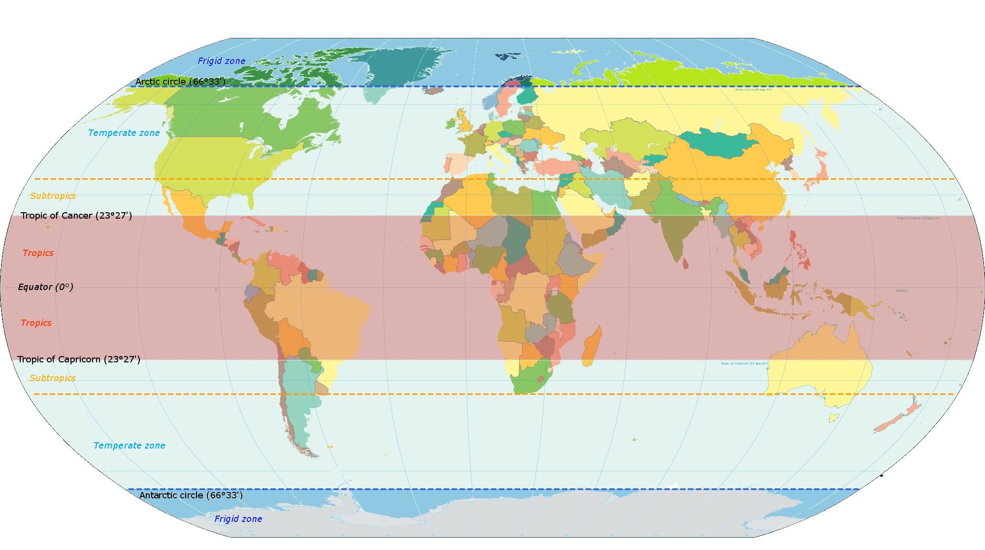
812:Date and time of digitizing
846:
771:Usage on sr.wikipedia.org
761:Usage on ig.wikipedia.org
751:Usage on hr.wikipedia.org
741:Usage on eu.wikipedia.org
721:Usage on es.wikipedia.org
281:same or compatible license
826:File change date and time
574:
185:File:World map torrid.svg
180:
16:
311:
247:
104:This is a file from the
829:10:27, 20 November 2013
691:
670:17:31, 16 December 2014
661:
640:19:38, 18 December 2014
631:
194:
176:
169:
166:
140:
108:. Information from its
111:description page there
46:Size of this preview:
796:Horizontal resolution
765:Ọnọdụ ihu igwe dị jụụ
610:13:06, 6 January 2015
70:2,000 × 1,117 pixels
804:Vertical resolution
262:– to adapt the work
52:Other resolutions:
396:Wikimedia username
383:author name string
143:Latitude zones.png
66:1,280 × 715 pixels
62:1,024 × 572 pixels
833:
832:
713:Global file usage
707:Temperate climate
695:
662:ajustando colores
475:copyright license
320:
204:
203:
126:
125:
106:Wikimedia Commons
32:Global file usage
837:
819:
793:
682:
652:
622:
526:16 December 2014
439:copyright status
420:
415:
405:
400:
390:
387:
303:
300:
297:
294:
291:
283:as the original.
240:Creative Commons
234:
233:
229:
228:
223:
222:
182:
172:
171:16 December 2014
160:
152:
144:
138:
122:
101:
100:
94:
88:
86:
73:
58:640 × 357 pixels
54:320 × 179 pixels
48:800 × 447 pixels
845:
844:
840:
839:
838:
836:
835:
834:
817:
781:
711:
703:
696:
688:
680:
658:
650:
628:
620:
576:
575:
572:
571:
570:
569:
568:
567:
566:
565:
563:
551:
550:
549:
547:
536:
535:
534:
533:
532:
531:
530:
529:
527:
517:
516:
515:
513:
502:
501:
500:
499:
498:
497:
496:
495:
493:
481:
480:
479:
477:
466:
465:
464:
463:
462:
461:
460:
459:
457:
445:
444:
443:
441:
430:
429:
428:
427:
426:
425:
424:
423:
422:
421:
416:
413:
407:
406:
401:
398:
392:
391:
388:
385:
376:
375:
374:
372:
362:
361:
360:
358:
347:
346:
345:
344:
343:
341:
325:
324:
323:
306:
305:
304:
301:
298:
295:
292:
289:
288:
246:
235:
216:
215:
210:
205:
162:
154:
142:
135:
128:
127:
116:
115:
114:is shown below.
90:
84:
82:
75:
74:
51:
12:
11:
5:
843:
841:
831:
830:
827:
823:
822:
821:
820:
813:
809:
808:
805:
801:
800:
797:
784:
780:
779:
778:
777:
769:
768:
767:
759:
758:
757:
755:Umjereni pojas
749:
748:
747:
739:
738:
737:
735:Zonas térmicas
732:
727:
725:Clima templado
715:
714:
710:
709:
701:
700:
699:
694:
693:
690:
686:
683:
677:
672:
667:
664:
663:
660:
656:
653:
647:
642:
637:
634:
633:
630:
626:
623:
619:2,000 × 1,117
617:
612:
607:
603:
602:
599:
596:
593:
590:
587:
580:
579:
564:
559:
557:
556:
555:
554:
553:
552:
548:
545:source of file
543:
541:
540:
539:
538:
537:
528:
525:
523:
522:
521:
520:
519:
518:
514:
509:
507:
506:
505:
504:
503:
494:
489:
487:
486:
485:
484:
483:
482:
478:
473:
471:
470:
469:
468:
467:
458:
453:
451:
450:
449:
448:
447:
446:
442:
437:
435:
434:
433:
432:
431:
409:
408:
394:
393:
381:
380:
379:
378:
377:
373:
370:
368:
367:
366:
365:
364:
363:
359:
354:
352:
351:
350:
349:
348:
342:
337:
335:
332:
331:
330:
329:
328:
317:
316:
313:
310:
287:
286:
285:
284:
274:
265:
264:
263:
257:
250:You are free:
237:
236:
218:
212:
211:
209:
206:
202:
201:
196:
192:
191:
178:
174:
173:
168:
164:
163:
161:Latitude zones
145:
136:
134:
131:
129:
124:
123:
102:
92:
91:
45:
41:
40:
39:
34:
29:
24:
19:
13:
10:
9:
6:
4:
3:
2:
842:
828:
825:
816:
814:
811:
806:
803:
798:
795:
791:
788:
782:
776:
775:Умерена клима
773:
772:
770:
766:
763:
762:
760:
756:
753:
752:
750:
746:
743:
742:
740:
736:
733:
731:
730:Zona templada
728:
726:
723:
722:
720:
719:
718:
712:
708:
705:
697:
689:
684:
678:
676:
673:
671:
668:
666:
665:
659:
654:
648:
646:
643:
641:
638:
636:
635:
629:
624:
618:
616:
613:
611:
608:
605:
604:
600:
597:
594:
591:
588:
586:
585:
583:
577:
562:
546:
512:
492:
476:
456:
440:
419:
412:
404:
397:
384:
357:
340:
293:CC BY-SA 4.0
282:
278:
275:
272:
269:
268:
266:
261:
258:
255:
252:
251:
249:
248:
244:
241:
224:
207:
200:
197:
193:
190:
186:
179:
175:
165:
159:
151:
146:
139:
132:
120:
113:
112:
107:
103:
96:
95:
89:
80:
79:Original file
71:
67:
63:
59:
55:
49:
44:
38:
35:
33:
30:
28:
25:
23:
20:
18:
15:
789:
786:
716:
581:
578:File history
276:
270:
259:
253:
183:, according
157:
149:
119:You can help
109:
77:
22:File history
455:copyrighted
277:share alike
271:attribution
141:Description
698:File usage
687:Maulucioni
679:800 × 447
657:Maulucioni
649:800 × 447
632:Agrandando
627:Maulucioni
595:Dimensions
403:Maulucioni
389:Maulucioni
371:some value
199:Maulucioni
27:File usage
807:47.24 dpc
799:47.24 dpc
745:Zona epel
592:Thumbnail
589:Date/Time
511:inception
208:Licensing
158:English:
150:Español:
85:image/png
783:Metadata
681:(136 KB)
651:(136 KB)
621:(328 KB)
315:Captions
260:to remix
254:to share
245:license.
181:Own work
37:Metadata
606:current
601:Comment
356:creator
339:depicts
319:English
133:Summary
81:
195:Author
187:&
177:Source
598:User
302:true
299:true
167:Date
17:File
411:URL
414::
399::
386::
68:|
64:|
60:|
56:|
50:.
121:.
87:)
72:.
Text is available under the Creative Commons Attribution-ShareAlike License. Additional terms may apply.