188:
43:
194:
99:
778:
546:
516:
576:
758:
793:
486:
235:– You must give appropriate credit, provide a link to the license, and indicate if changes were made. You may do so in any reasonable manner, but not in any way that suggests the licensor endorses you or your use.
783:
593:{{Information|Description=MP district map|Source=Madhya Pradesh location map.svg|Date=21 May 2020|Author=Own work|Permission={{Cc-by-4.0}}}}
798:
615:
768:
177:
633:
73:
69:
65:
61:
57:
53:
47:
753:
363:
327:
110:
856:
This file contains additional information, probably added from the digital camera or scanner used to create or digitize it.
82:
417:
311:
713:
383:
347:
294:
594:
575:
570:
545:
540:
515:
510:
693:
859:
If the file has been modified from its original state, some details may not fully reflect the modified file.
606:
The following pages on the
English Knowledge (XXG) use this file (pages on other projects are not listed):
204:
808:
743:
643:
610:
201:
118:
843:
485:
480:
42:
105:
818:
150:
586:
556:
526:
496:
453:
Click on a date/time to view the file as it appeared at that time.
828:
653:
93:
703:
673:
733:
723:
663:
87:(SVG file, nominally 1,381 × 896 pixels, file size: 1.16 MB)
683:
278:
Add a one-line explanation of what this file represents
838:
132:
117:
Commons is a freely licensed media file repository.
844:User:Daniel Mietchen/Wikidata lists/India/Places
364:Creative Commons Attribution 4.0 International
98:
187:
8:
242:https://creativecommons.org/licenses/by/4.0
218:– to copy, distribute and transmit the work
46:Size of this PNG preview of this SVG file:
861:
455:
274:
626:The following other wikis use this file:
871:
863:
608:
431:
415:
397:
381:
361:
345:
325:
309:
292:
289:
270:
263:
7:
616:List of districts of Madhya Pradesh
444:
193:
854:
283:
277:
209:
184:
130:
80:
779:மத்தியப் பிரதேச மாவட்டப் பட்டியல்
282:
248:Creative Commons Attribution 4.0
268:
229:Under the following conditions:
200:This file is licensed under the
192:
186:
97:
31:
21:
595:Category:Maps of Madhya Pradesh
265:
160:Madhya Pradesh location map.svg
14:
264:
26:
1:
205:Attribution 4.0 International
36:
759:ᱢᱚᱫᱷᱭᱚ ᱯᱨᱚᱫᱮᱥ ᱨᱮᱱᱟᱜ ᱦᱚᱱᱚᱛ ᱠᱚ
290:Items portrayed in this file
794:మధ్య ప్రదేశ్ జిల్లాల జాబితా
750:Usage on sat.wikipedia.org
640:Usage on arz.wikipedia.org
893:
835:Usage on www.wikidata.org
825:Usage on vi.wikipedia.org
815:Usage on ur.wikipedia.org
805:Usage on uk.wikipedia.org
790:Usage on te.wikipedia.org
775:Usage on ta.wikipedia.org
765:Usage on sa.wikipedia.org
740:Usage on ru.wikipedia.org
730:Usage on no.wikipedia.org
720:Usage on nl.wikipedia.org
710:Usage on hi.wikipedia.org
700:Usage on fr.wikipedia.org
690:Usage on fa.wikipedia.org
680:Usage on eu.wikipedia.org
670:Usage on es.wikipedia.org
660:Usage on de.wikipedia.org
650:Usage on ca.wikipedia.org
630:Usage on ar.wikipedia.org
445:
16:
267:
138:MP Dhar district map.svg
104:This is a file from the
592:
562:
541:17:52, 13 February 2021
532:
511:22:22, 14 February 2021
502:
172:
164:
156:
149:
146:
135:
108:. Information from its
111:description page there
611:Dhar district, India
70:2,560 × 1,661 pixels
224:– to adapt the work
52:Other resolutions:
634:مقاطعة دهر (الهند)
571:21:51, 21 May 2020
563:Updated boundaries
481:03:10, 21 May 2021
74:1,381 × 896 pixels
66:1,280 × 830 pixels
62:1,024 × 664 pixels
880:
879:
654:Districte de Dhar
622:Global file usage
599:
348:copyright license
276:
261:
260:
181:
178:Reusing this file
126:
125:
106:Wikimedia Commons
32:Global file usage
884:
862:
704:District de Dhar
674:Distrito de Dhar
583:
553:
523:
493:
312:copyright status
255:
252:
249:
246:
243:
202:Creative Commons
196:
195:
190:
189:
175:
152:
139:
133:
122:
101:
100:
94:
88:
77:
58:640 × 415 pixels
54:320 × 208 pixels
48:800 × 519 pixels
892:
891:
887:
886:
885:
883:
882:
881:
850:
734:Dhar (distrikt)
724:Dhar (district)
664:Dhar (Distrikt)
620:
607:
600:
589:
581:
559:
551:
529:
521:
499:
491:
447:
446:
443:
442:
441:
440:
439:
438:
437:
436:
434:
424:
423:
422:
420:
409:
408:
407:
406:
405:
404:
403:
402:
400:
390:
389:
388:
386:
375:
374:
373:
372:
371:
370:
369:
368:
366:
354:
353:
352:
350:
339:
338:
337:
336:
335:
334:
333:
332:
330:
318:
317:
316:
314:
303:
302:
301:
300:
299:
297:
281:
280:
279:
262:
257:
256:
253:
250:
247:
244:
241:
240:
208:
197:
142:MP district map
137:
128:
127:
116:
115:
114:is shown below.
90:
86:
79:
78:
51:
12:
11:
5:
890:
888:
878:
877:
874:
870:
869:
866:
853:
849:
848:
847:
846:
841:
833:
832:
831:
823:
822:
821:
813:
812:
811:
803:
802:
801:
796:
788:
787:
786:
781:
773:
772:
771:
763:
762:
761:
756:
748:
747:
746:
738:
737:
736:
728:
727:
726:
718:
717:
716:
708:
707:
706:
698:
697:
696:
694:بخش دهار (هند)
688:
687:
686:
678:
677:
676:
668:
667:
666:
658:
657:
656:
648:
647:
646:
638:
637:
636:
624:
623:
619:
618:
613:
605:
604:
603:
598:
597:
591:
587:
584:
580:1,829 × 1,187
578:
573:
568:
565:
564:
561:
557:
554:
550:1,829 × 1,187
548:
543:
538:
535:
534:
531:
527:
524:
520:1,829 × 1,187
518:
513:
508:
505:
504:
501:
497:
494:
488:
483:
478:
474:
473:
470:
467:
464:
461:
458:
451:
450:
435:
432:
430:
429:
428:
427:
426:
425:
421:
416:
414:
413:
412:
411:
410:
401:
398:
396:
395:
394:
393:
392:
391:
387:
382:
380:
379:
378:
377:
376:
367:
362:
360:
359:
358:
357:
356:
355:
351:
346:
344:
343:
342:
341:
340:
331:
326:
324:
323:
322:
321:
320:
319:
315:
310:
308:
307:
306:
305:
304:
298:
293:
291:
288:
287:
286:
285:
284:
273:
272:
269:
266:
259:
258:
239:
238:
237:
236:
227:
226:
225:
219:
212:You are free:
199:
198:
185:
182:
170:
169:
166:
162:
161:
158:
154:
153:
148:
144:
143:
140:
131:
129:
124:
123:
102:
92:
91:
45:
41:
40:
39:
34:
29:
24:
19:
13:
10:
9:
6:
4:
3:
2:
889:
875:
872:
867:
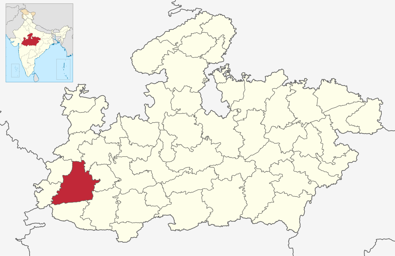
864:
860:
857:
851:
845:
842:
840:
837:
836:
834:
830:
827:
826:
824:
820:
817:
816:
814:
810:
807:
806:
804:
800:
797:
795:
792:
791:
789:
785:
784:தார் மாவட்டம்
782:
780:
777:
776:
774:
770:
767:
766:
764:
760:
757:
755:
752:
751:
749:
745:
742:
741:
739:
735:
732:
731:
729:
725:
722:
721:
719:
715:
712:
711:
709:
705:
702:
701:
699:
695:
692:
691:
689:
685:
684:Dhar barrutia
682:
681:
679:
675:
672:
671:
669:
665:
662:
661:
659:
655:
652:
651:
649:
645:
642:
641:
639:
635:
632:
631:
629:
628:
627:
621:
617:
614:
612:
609:
601:
596:
590:
585:
579:
577:
574:
572:
569:
567:
566:
560:
555:
549:
547:
544:
542:
539:
537:
536:
530:
525:
519:
517:
514:
512:
509:
507:
506:
500:
495:
489:
487:
484:
482:
479:
476:
475:
471:
468:
465:
462:
459:
457:
456:
454:
448:
433:image/svg+xml
419:
385:
365:
349:
329:
313:
296:
234:
231:
230:
228:
223:
220:
217:
214:
213:
211:
210:
206:
203:
191:
183:
179:
174:
171:
167:
163:
159:
155:
145:
141:
134:
120:
113:
112:
107:
103:
96:
95:
89:
84:
83:Original file
75:
71:
67:
63:
59:
55:
49:
44:
38:
35:
33:
30:
28:
25:
23:
20:
18:
15:
858:
855:
829:Dhar (huyện)
809:Дхар (округ)
744:Дхар (округ)
625:
533:c and bounds
490:1,381 × 896
452:
449:File history
232:
221:
215:
119:You can help
109:
81:
22:File history
876:252.85547mm
868:389.75259mm
799:ధార్ జిల్లా
399:21 May 2020
328:copyrighted
233:attribution
151:21 May 2020
136:Description
769:धारमण्डलम्
754:ᱫᱷᱟᱨ ᱦᱚᱱᱚᱛ
644:مديريه دهر
602:File usage
466:Dimensions
418:media type
245:CC BY 4.0
173:Permission
27:File usage
714:धार ज़िला
582:(1.04 MB)
552:(1.31 MB)
522:(1.31 MB)
492:(1.16 MB)
463:Thumbnail
460:Date/Time
384:inception
852:Metadata
839:Q2299069
503:c bounds
271:Captions
222:to remix
216:to share
207:license.
168:Own work
37:Metadata
819:دھر ضلع
477:current
472:Comment
295:depicts
275:English
85:
873:Height
165:Author
157:Source
865:Width
588:C1MM
558:C1MM
528:C1MM
498:C1MM
469:User
254:true
251:true
147:Date
17:File
72:|
68:|
64:|
60:|
56:|
50:.
180:)
176:(
121:.
76:.
Text is available under the Creative Commons Attribution-ShareAlike License. Additional terms may apply.
