43:
204:
210:
215:
99:
528:
498:
468:
256:– You must give appropriate credit, provide a link to the license, and indicate if changes were made. You may do so in any reasonable manner, but not in any way that suggests the licensor endorses you or your use.
937:
640:
635:
73:
69:
65:
61:
57:
53:
47:
110:
82:
188:
527:
522:
497:
492:
575:
413:
377:
546:
948:
This file contains additional information, probably added from the digital camera or scanner used to create or digitize it.
263:
549:
361:
397:
344:
708:
658:
225:
951:
If the file has been modified from its original state, some details may not fully reflect the modified file.
678:
620:
467:
462:
42:
262:– If you remix, transform, or build upon the material, you must distribute your contributions under the
838:
630:
222:
713:
561:
The following pages on the
English Knowledge use this file (pages on other projects are not listed):
508:
478:
688:
118:
149:
This map may be incomplete, and may contain errors. Don't rely solely on it for navigation.
590:
580:
570:
196:
105:
853:
923:
297:
595:
818:
848:
625:
753:
668:
144:
610:
600:
888:
913:
673:
615:
538:
768:
605:
868:
833:
803:
565:
863:
858:
763:
873:
132:
435:
Click on a date/time to view the file as it appeared at that time.
893:
585:
843:
903:
738:
167:
87:(SVG file, nominally 2,843 × 2,158 pixels, file size: 45.36 MB)
823:
93:
928:
883:
788:
748:
143:
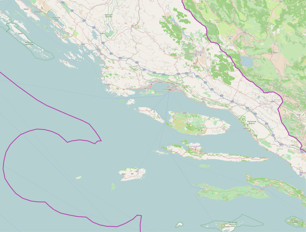
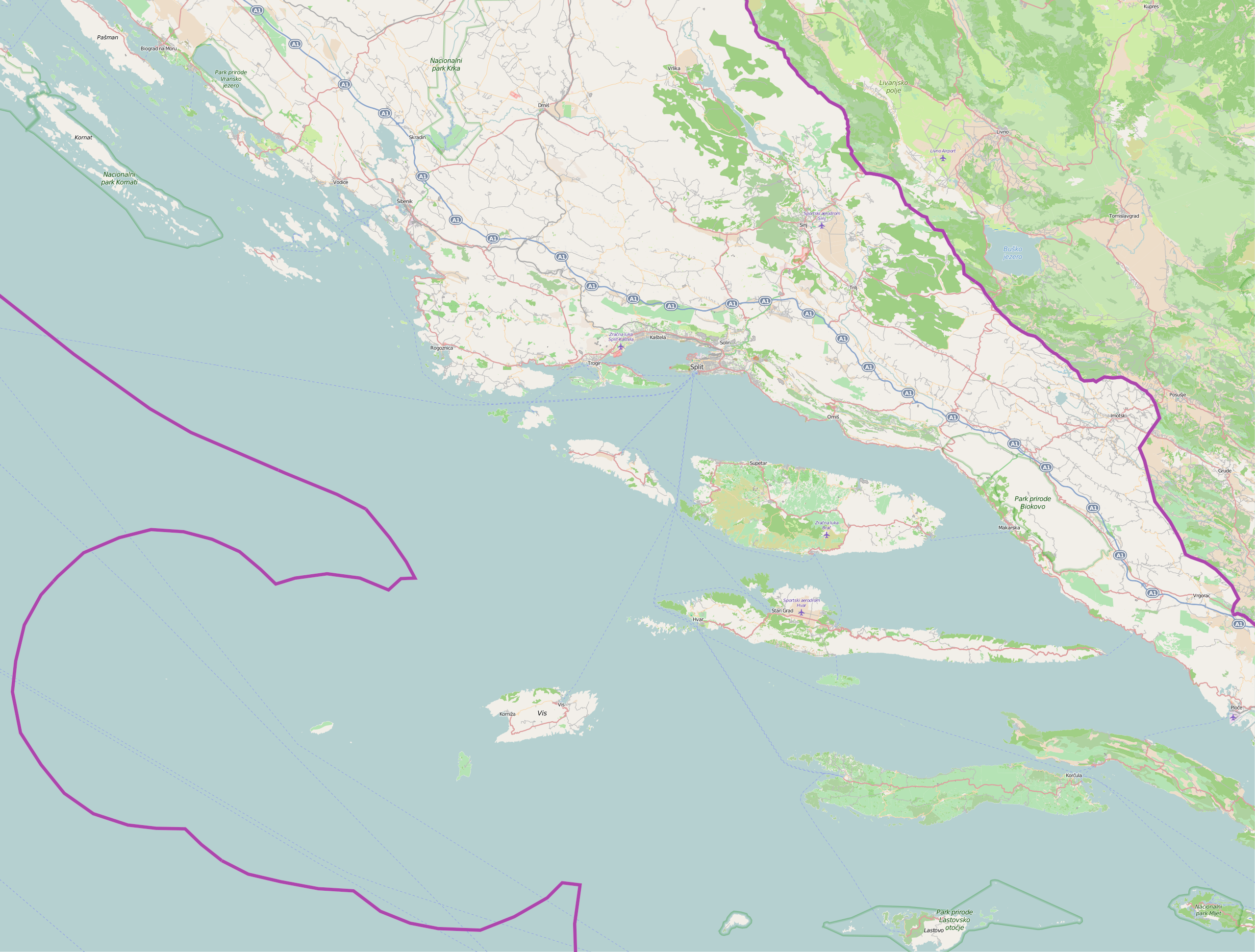
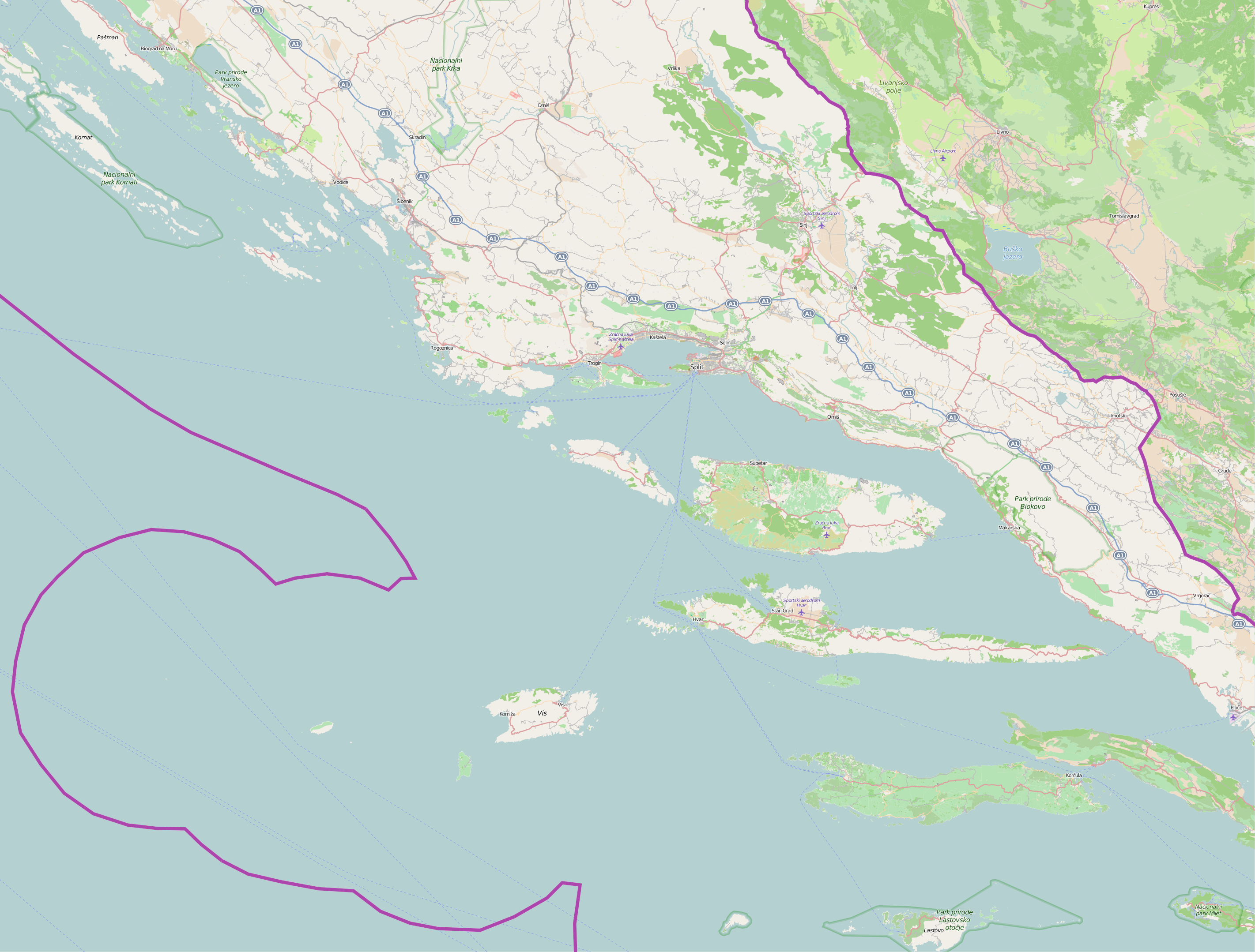
This map of
Splitsko-dalmatinska županija was created from
898:
813:
778:
641:
Module:Location map/data/Croatia Split-Dalmatia County/doc
918:
545:{{OpenStreetMap|location=Splitsko-dalmatinska županija}}
878:
828:
733:
808:
758:
743:
723:
328:
Add a one-line explanation of what this file represents
306:
If inappropriate please set warp_status = skip to hide.
793:
783:
636:
Module:Location map/data/Croatia Split-Dalmatia County
679:Šablon:Lokacijska karta Splitsko-dalmatinska županija
908:
689:
Plantilya:Location map
Croatia Split-Dalmatia County
117:
Commons is a freely licensed media file repository.
773:
414:
Creative
Commons Attribution-ShareAlike 2.0 Generic
199:Attribution-ShareAlike 2.0 license (CC-BY-SA 2.0).
195:OpenStreetMap data and maps are licensed under the
728:
698:
798:
839:Crkva sv. Petra na Kamenu i arheološko nalazište
709:الگو:Location map Croatia Split-Dalmatia County
659:قالب:Location map Croatia Split-Dalmatia County
273:https://creativecommons.org/licenses/by-sa/2.0
98:
279:Creative Commons Attribution-Share Alike 2.0
203:
8:
239:– to copy, distribute and transmit the work
46:Size of this PNG preview of this SVG file:
953:
437:
324:
147:project data, collected by the community.
651:The following other wikis use this file:
485:An new, updated and larger version of map
963:
955:
563:
411:
395:
375:
359:
342:
339:
320:
313:
300:Georeference the map in Wikimaps Warper
138:Split-Dalmatia County OpenStreetMap.svg
924:Svjetionik s kapelicom Iljak u Podgori
7:
819:Krunidbena crkva sv. Petra i Mojsija
550:Category:Maps of counties of Croatia
426:
226:Attribution-Share Alike 2.0 Generic
214:
209:
946:
333:
327:
200:
130:
80:
332:
576:Battle of the Dalmatian Channels
318:
250:Under the following conditions:
221:This file is licensed under the
213:
208:
202:
97:
31:
21:
914:Crkve sv. Ante Opata u Vrisniku
674:Razgovor sa korisnikom:Rethymno
315:
14:
547:Category:Split-Dalmatia County
314:
26:
1:
869:Svjetionik Poluotok Sv. Petar
854:Svjetionik Otočić Pokonji dol
754:Splitsko-dalmatinska županija
669:Splitsko-dalmatinska županija
298:
36:
340:Items portrayed in this file
889:Antički brodolom kod Svetca
685:Usage on ceb.wikipedia.org
985:
720:Usage on hr.wikipedia.org
705:Usage on fa.wikipedia.org
695:Usage on es.wikipedia.org
665:Usage on bs.wikipedia.org
655:Usage on ar.wikipedia.org
264:same or compatible license
178:OpenStreetMap contributors
849:Svjetionik Otočić Murvica
769:Zračna luka Sveti Jeronim
515:An updated version of map
427:
16:
874:Svjetionik Rt Sv. Nikola
834:Požari u Hrvatskoj 2017.
317:
230:
104:This is a file from the
544:
514:
484:
292:
183:
173:
163:
155:
135:
108:. Information from its
621:Split Suburban Railway
111:description page there
864:Svjetionik Otok Sušac
859:Svjetionik Rt Sućuraj
844:Svjetionik Hrid Mulo
74:2,843 × 2,158 pixels
70:2,560 × 1,943 pixels
739:Sveta Fumija (otok)
523:18:48, 8 March 2010
493:07:15, 22 July 2015
463:07:18, 22 July 2015
245:– to adapt the work
52:Other resolutions:
159:(see file history)
66:1,280 × 972 pixels
62:1,012 × 768 pixels
972:
971:
938:more global usage
824:Vojskova (Cetina)
647:Global file usage
631:Vučevica, Croatia
554:
398:copyright license
326:
311:
310:
307:
192:
189:Reusing this file
168:openstreetmap.org
150:
126:
125:
106:Wikimedia Commons
32:Global file usage
976:
954:
929:Hrid (Rogoznica)
894:Rajčica (bunari)
764:Zračna luka Brač
535:
505:
475:
362:copyright status
305:
304:
302:
301:
286:
283:
280:
277:
274:
266:as the original.
223:Creative Commons
217:
216:
212:
211:
206:
205:
197:Creative Commons
186:
148:
139:
133:
122:
101:
100:
94:
88:
77:
58:633 × 480 pixels
54:316 × 240 pixels
48:790 × 600 pixels
984:
983:
979:
978:
977:
975:
974:
973:
942:
645:
591:Blato na Cetini
562:
555:
541:
533:
511:
503:
481:
473:
429:
428:
425:
424:
423:
422:
421:
420:
419:
418:
416:
404:
403:
402:
400:
389:
388:
387:
386:
385:
384:
383:
382:
380:
368:
367:
366:
364:
353:
352:
351:
350:
349:
347:
331:
330:
329:
312:
299:
296:
288:
287:
284:
281:
278:
275:
272:
271:
229:
218:
179:
151:
137:
128:
127:
116:
115:
114:is shown below.
90:
86:
79:
78:
51:
12:
11:
5:
982:
980:
970:
969:
966:
962:
961:
958:
945:
940:of this file.
934:
933:
932:
931:
926:
921:
916:
911:
906:
904:Kamičak (brdo)
901:
896:
891:
886:
884:Rumin (rijeka)
881:
876:
871:
866:
861:
856:
851:
846:
841:
836:
831:
826:
821:
816:
811:
806:
804:Plaža Grebišće
801:
796:
791:
786:
781:
776:
771:
766:
761:
756:
751:
749:Murvica (otok)
746:
741:
736:
731:
726:
718:
717:
716:
711:
703:
702:
701:
693:
692:
691:
683:
682:
681:
676:
671:
663:
662:
661:
649:
648:
644:
643:
638:
633:
628:
623:
618:
613:
608:
603:
598:
593:
588:
583:
578:
573:
568:
560:
559:
558:
553:
552:
543:
539:
536:
530:
525:
520:
517:
516:
513:
509:
506:
502:1,431 × 1,086
500:
495:
490:
487:
486:
483:
479:
476:
472:2,843 × 2,158
470:
465:
460:
456:
455:
452:
449:
446:
443:
440:
433:
432:
417:
412:
410:
409:
408:
407:
406:
405:
401:
396:
394:
393:
392:
391:
390:
381:
376:
374:
373:
372:
371:
370:
369:
365:
360:
358:
357:
356:
355:
354:
348:
343:
341:
338:
337:
336:
335:
334:
323:
322:
319:
316:
309:
308:
294:
293:Georeferencing
290:
289:
270:
269:
268:
267:
257:
248:
247:
246:
240:
233:You are free:
220:
219:
201:
193:
181:
180:
177:
175:
171:
170:
165:
161:
160:
157:
153:
152:
142:
140:
131:
129:
124:
123:
102:
92:
91:
45:
41:
40:
39:
34:
29:
24:
19:
13:
10:
9:
6:
4:
3:
2:
981:
967:
964:
959:
956:
952:
949:
943:
941:
939:
930:
927:
925:
922:
920:
917:
915:
912:
910:
907:
905:
902:
900:
897:
895:
892:
890:
887:
885:
882:
880:
877:
875:
872:
870:
867:
865:
862:
860:
857:
855:
852:
850:
847:
845:
842:
840:
837:
835:
832:
830:
827:
825:
822:
820:
817:
815:
814:Ruda (rijeka)
812:
810:
807:
805:
802:
800:
797:
795:
792:
790:
787:
785:
782:
780:
779:Perna (uvala)
777:
775:
772:
770:
767:
765:
762:
760:
757:
755:
752:
750:
747:
745:
742:
740:
737:
735:
732:
730:
727:
725:
722:
721:
719:
715:
712:
710:
707:
706:
704:
700:
697:
696:
694:
690:
687:
686:
684:
680:
677:
675:
672:
670:
667:
666:
664:
660:
657:
656:
654:
653:
652:
646:
642:
639:
637:
634:
632:
629:
627:
624:
622:
619:
617:
614:
612:
609:
607:
604:
602:
599:
597:
594:
592:
589:
587:
584:
582:
579:
577:
574:
572:
571:Bast, Croatia
569:
567:
564:
556:
551:
548:
542:
537:
531:
529:
526:
524:
521:
519:
518:
512:
507:
501:
499:
496:
494:
491:
489:
488:
482:
477:
471:
469:
466:
464:
461:
458:
457:
453:
450:
447:
444:
441:
439:
438:
436:
430:
415:
399:
379:
363:
346:
303:
295:
291:
276:CC BY-SA 2.0
265:
261:
258:
255:
252:
251:
249:
244:
241:
238:
235:
234:
232:
231:
227:
224:
207:
198:
194:
190:
185:
182:
176:
172:
169:
166:
162:
158:
154:
146:
145:OpenStreetMap
141:
134:
120:
113:
112:
107:
103:
96:
95:
89:
84:
83:Original file
75:
71:
67:
63:
59:
55:
49:
44:
38:
35:
33:
30:
28:
25:
23:
20:
18:
15:
950:
947:
935:
919:Zlatni Kamik
650:
532:1,325 × 998
434:
431:File history
259:
253:
242:
236:
119:You can help
109:
81:
22:File history
879:Kamen Brela
829:Mulo (hrid)
626:Strmendolac
378:copyrighted
260:share alike
254:attribution
136:Description
809:Pokrivenik
759:Zlatni rat
724:Barbarinac
714:باشکا وودا
581:Baška Voda
557:File usage
504:(11.62 MB)
474:(45.36 MB)
448:Dimensions
184:Permission
27:File usage
794:Lukvenjak
789:Česminica
784:Mrtinovik
616:Maslinica
596:Brštanovo
534:(1.59 MB)
445:Thumbnail
442:Date/Time
944:Metadata
899:Rižinice
566:Arbanija
510:Vedran V
480:Vedran V
321:Captions
243:to remix
237:to share
228:license.
37:Metadata
909:Sutikva
611:Korušce
601:Kaštela
459:current
454:Comment
345:depicts
325:English
174:Creator
85:
968:1726pt
965:Height
960:2274pt
774:Mlaska
734:Biševo
606:Komiža
164:Source
957:Width
936:View
744:Sušac
729:Jadro
699:Split
586:Bisko
799:Orud
540:Ex13
451:User
285:true
282:true
156:Date
17:File
72:|
68:|
64:|
60:|
56:|
50:.
191:)
187:(
121:.
76:.
Text is available under the Creative Commons Attribution-ShareAlike License. Additional terms may apply.
