38:
350:
283:
275:
297:
318:
356:
361:
983:
86:
781:"}},"text\/plain":{"en":{"":"heading"}}},"{\"value\":{\"amount\":\"+315\",\"unit\":\"http:\\\/\\\/www.wikidata.org\\\/entity\\\/Q28390\"},\"type\":\"quantity\"}":{"text\/html":{"en":{"P7787":"315
953:
777:
52:
48:
42:
97:
65:
408:– You must give appropriate credit, provide a link to the license, and indicate if changes were made. You may do so in any reasonable manner, but not in any way that suggests the licensor endorses you or your use.
1000:== {{int:filedesc}} == {{Information |Description={{en|1=Notgrove church}}{{Listed building England|1153880}} |Source=From |Date=2013-12-29 |Author=[http://www.geograph.org.uk/profile/1837 Phil...
982:
977:
778:
1019:
952:
947:
56:
37:
203:
1014:
679:
643:
607:
488:
290:
699:
325:
864:
415:
542:
884:
848:
819:
792:
707:
663:
591:
563:
550:
535:
750:
722:
692:
627:
508:
472:
312:
963:
371:
414:– If you remix, transform, or build upon the material, you must distribute your contributions under the
332:
on the
Geograph website for the photographer's contact details. The copyright on this image is owned by
368:
153:
785:"}},"text\/plain":{"en":{"P7787":"315 degree"}}}}": -->
105:
235:
993:
148:
729:
714:
570:
219:
1042:
296:
337:
92:
280:
171:
182:
192:
1024:
317:
130:
St
Bartholomew's church, Notgrove Geograph-3808498-by-Philip-Halling.jpg
329:
920:
Click on a date/time to view the file as it appeared at that time.
282:
267:
51° 52′ 39.55″ N, 1° 50′ 32.42″ W
257:
80:
456:
Add a one-line explanation of what this file represents
1072:
1062:
1052:
210:
Creative
Commons Attribution Share-alike license 2.0
142:
124:
104:
Commons is a freely licensed media file repository.
644:
Creative
Commons Attribution-ShareAlike 2.0 Generic
70:(1,024 × 680 pixels, file size: 265 KB, MIME type:
1020:Grade I listed buildings in Cotswold (district)
425:https://creativecommons.org/licenses/by-sa/2.0
85:
431:Creative Commons Attribution-Share Alike 2.0
349:
8:
782:
391:– to copy, distribute and transmit the work
922:
452:
1035:The following other wikis use this file:
730:https://www.geograph.org.uk/photo/3808498
970:Higher-resolution version from Geograph.
571:https://www.geograph.org.uk/profile/1837
1012:
898:
882:
862:
846:
806:
790:
764:
748:
677:
661:
641:
625:
605:
589:
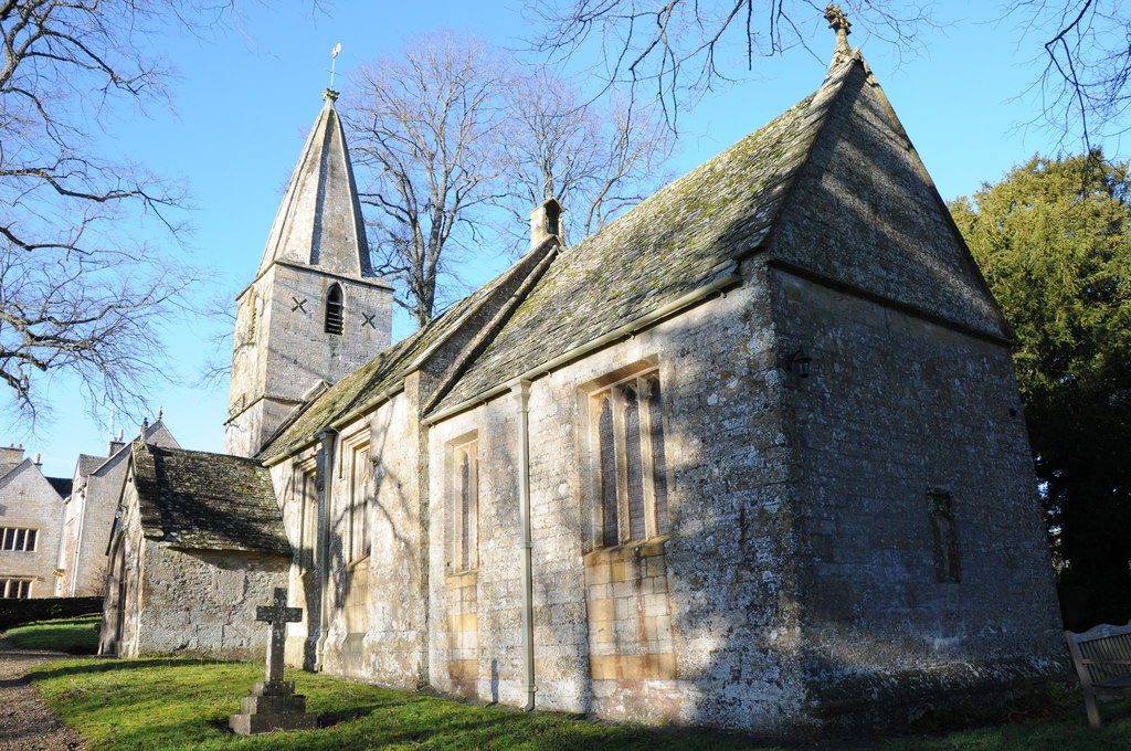
522:
506:
486:
470:
467:
448:
441:
260:
289:View this and other nearby images on:
1010:The following 3 pages use this file:
7:
336:and is licensed for reuse under the
911:
372:Attribution-Share Alike 2.0 Generic
360:
355:
340:Attribution-ShareAlike 2.0 license.
1015:Church of St Bartholomew, Notgrove
461:
455:
346:
323:
146:
134:
117:
63:
460:
793:coordinates of the point of view
446:
402:Under the following conditions:
367:This file is licensed under the
359:
354:
348:
316:
295:
281:
273:
84:
31:
21:
443:
135:
14:
680:file available on the internet
442:
324:This image was taken from the
26:
1:
808:51°52'39.547"N, 1°50'32.424"W
700:Geograph Britain and Ireland
536:object of statement has role
468:Items portrayed in this file
272:
248:Philip Halling /
229:Philip Halling /
1091:
1069:Usage on nl.wikipedia.org
1059:Usage on it.wikipedia.org
1049:Usage on fr.wikipedia.org
1039:Usage on fa.wikipedia.org
416:same or compatible license
912:
16:
948:19:53, 17 September 2017
708:geograph.org.uk image ID
489:Church of St Bartholomew
445:
382:
91:This is a file from the
999:
969:
220:required by the license
198:
188:
177:
170:
167:
127:
95:. Information from its
978:19:12, 28 October 2015
330:this photograph's page
301:51.877652; -1.842340
98:description page there
41:Size of this preview:
849:location of creation
965:Geograph Update Bot
397:– to adapt the work
147:This is a photo of
47:Other resolutions:
551:author name string
57:1,024 × 680 pixels
1031:Global file usage
1003:
784:
628:copyright license
454:
345:
344:
328:collection. See
306:
305:
255:
254:
223:
207:
204:Reusing this file
163:
162:
113:
112:
93:Wikimedia Commons
32:Global file usage
1082:
990:
960:
830:
829:
824:
766:29 December 2013
732:
727:
723:described at URL
717:
712:
702:
697:
592:copyright status
573:
568:
558:
555:
545:
540:
438:
435:
432:
429:
426:
418:as the original.
380:
369:Creative Commons
363:
362:
358:
357:
352:
351:
338:Creative Commons
326:Geograph project
320:
313:
302:
299:
285:
284:
278:
277:
276:
270:
269:
258:
217:
201:
173:
172:29 December 2013
156:
143:
139:
131:
125:
109:
88:
87:
81:
75:
73:
60:
53:640 × 425 pixels
49:320 × 213 pixels
43:800 × 531 pixels
1090:
1089:
1085:
1084:
1083:
1081:
1080:
1079:
1029:
1004:
996:
988:
966:
958:
914:
913:
910:
909:
908:
907:
906:
905:
904:
903:
901:
891:
890:
889:
887:
876:
875:
874:
873:
872:
871:
870:
869:
867:
855:
854:
853:
851:
840:
839:
838:
837:
836:
835:
834:
833:
832:
831:
827:
825:
822:
813:
812:
811:
809:
799:
798:
797:
795:
776:
775:
774:
773:
772:
771:
770:
769:
767:
757:
756:
755:
753:
742:
741:
740:
739:
738:
737:
736:
735:
734:
733:
728:
725:
719:
718:
713:
710:
704:
703:
698:
695:
686:
685:
684:
682:
670:
669:
668:
666:
655:
654:
653:
652:
651:
650:
649:
648:
646:
634:
633:
632:
630:
619:
618:
617:
616:
615:
614:
613:
612:
610:
598:
597:
596:
594:
583:
582:
581:
580:
579:
578:
577:
576:
575:
574:
569:
566:
560:
559:
556:
553:
547:
546:
541:
538:
529:
528:
527:
525:
515:
514:
513:
511:
500:
499:
498:
497:
496:
495:
494:
493:
491:
479:
478:
477:
475:
459:
458:
457:
440:
439:
436:
433:
430:
427:
424:
423:
381:
378:
375:
364:
341:
311:
300:
274:
265:
264:
261:Camera location
256:
250:Notgrove church
245:
238:
231:Notgrove church
226:
183:geograph.org.uk
158:
152:
149:listed building
141:
140:Notgrove church
129:
122:
115:
114:
103:
102:
101:is shown below.
77:
71:
69:
62:
61:
46:
12:
11:
5:
1088:
1086:
1078:
1077:
1076:
1075:
1067:
1066:
1065:
1057:
1056:
1055:
1047:
1046:
1045:
1033:
1032:
1028:
1027:
1022:
1017:
1008:
1007:
1002:
1001:
998:
994:
991:
985:
980:
975:
972:
971:
968:
964:
961:
955:
950:
945:
941:
940:
937:
934:
931:
928:
925:
918:
917:
902:
899:
897:
896:
895:
894:
893:
892:
888:
883:
881:
880:
879:
878:
877:
868:
863:
861:
860:
859:
858:
857:
856:
852:
847:
845:
844:
843:
842:
841:
818:
817:
816:
815:
814:
810:
807:
805:
804:
803:
802:
801:
800:
796:
791:
789:
788:
787:
786:
780:
768:
765:
763:
762:
761:
760:
759:
758:
754:
749:
747:
746:
745:
744:
743:
721:
720:
706:
705:
691:
690:
689:
688:
687:
683:
678:
676:
675:
674:
673:
672:
671:
667:
664:source of file
662:
660:
659:
658:
657:
656:
647:
642:
640:
639:
638:
637:
636:
635:
631:
626:
624:
623:
622:
621:
620:
611:
606:
604:
603:
602:
601:
600:
599:
595:
590:
588:
587:
586:
585:
584:
562:
561:
557:Philip Halling
549:
548:
534:
533:
532:
531:
530:
526:
523:
521:
520:
519:
518:
517:
516:
512:
507:
505:
504:
503:
502:
501:
492:
487:
485:
484:
483:
482:
481:
480:
476:
471:
469:
466:
465:
464:
463:
462:
451:
450:
447:
444:
422:
421:
420:
419:
409:
400:
399:
398:
392:
385:You are free:
379:Philip Halling
376:
366:
365:
347:
343:
342:
334:Philip Halling
321:
310:
307:
304:
303:
293:
287:
262:
253:
252:
246:
243:
240:
239:
234:
227:
224:
212:
211:
208:
196:
195:
193:Philip Halling
190:
186:
185:
179:
175:
174:
169:
165:
164:
161:
160:
132:
123:
121:
118:
116:
111:
110:
89:
79:
78:
40:
36:
35:
34:
29:
24:
19:
13:
10:
9:
6:
4:
3:
2:
1087:
1074:
1071:
1070:
1068:
1064:
1061:
1060:
1058:
1054:
1051:
1050:
1048:
1044:
1041:
1040:
1038:
1037:
1036:
1030:
1026:
1023:
1021:
1018:
1016:
1013:
1011:
1005:
997:
992:
986:
984:
981:
979:
976:
974:
973:
967:
962:
956:
954:
951:
949:
946:
943:
942:
938:
935:
932:
929:
926:
924:
923:
921:
915:
886:
866:
850:
821:
794:
752:
731:
724:
716:
709:
701:
694:
681:
665:
645:
629:
609:
593:
572:
565:
552:
544:
537:
510:
490:
474:
428:CC BY-SA 2.0
417:
413:
410:
407:
404:
403:
401:
396:
393:
390:
387:
386:
384:
383:
377:Attribution:
373:
370:
353:
339:
335:
331:
327:
322:
319:
315:
314:
308:
298:
294:
292:
291:OpenStreetMap
288:
286:
268:
263:
259:
251:
247:
242:
241:
237:
233: /
232:
228:
221:
216:
214:
213:
209:
205:
200:
197:
194:
191:
187:
184:
180:
176:
166:
159:
155:
150:
145:
144:
138:
133:
126:
119:
107:
100:
99:
94:
90:
83:
82:
76:
67:
66:Original file
58:
54:
50:
44:
39:
33:
30:
28:
25:
23:
20:
18:
15:
1034:
1009:
995:Dave.Dunford
957:1,024 × 680
919:
916:File history
543:photographer
411:
405:
394:
388:
333:
271:
249:
236:CC BY-SA 2.0
230:
136:
106:You can help
96:
64:
22:File history
608:copyrighted
412:share alike
406:attribution
215:Attribution
128:Description
1006:File usage
987:640 × 425
933:Dimensions
900:image/jpeg
885:media type
524:some value
199:Permission
72:image/jpeg
27:File usage
930:Thumbnail
927:Date/Time
751:inception
309:Licensing
244:InfoField
225:InfoField
137:English:
1073:Notgrove
1063:Notgrove
1053:Notgrove
1025:Notgrove
989:(106 KB)
959:(265 KB)
865:Cotswold
693:operator
449:Captions
395:to remix
389:to share
374:license.
1043:ناتگروو
944:current
939:Comment
820:heading
779:heading
715:3808498
509:creator
473:depicts
453:English
154:1153880
151:number
120:Summary
68:
828:degree
783:degree
279:
189:Author
178:Source
181:From
936:User
826:315
437:true
434:true
168:Date
17:File
564:URL
823::
726::
711::
696::
567::
554::
539::
55:|
51:|
45:.
222:)
218:(
206:)
202:(
157:.
108:.
74:)
59:.
Text is available under the Creative Commons Attribution-ShareAlike License. Additional terms may apply.
