33:
386:
319:
269:
311:
261:
333:
283:
354:
392:
397:
89:
862:"}},"text\/plain":{"en":{"":"heading"}}},"{\"value\":{\"amount\":\"+225\",\"unit\":\"http:\\\/\\\/www.wikidata.org\\\/entity\\\/Q28390\"},\"type\":\"quantity\"}":{"text\/html":{"en":{"P7787":"225
798:"}},"text\/plain":{"en":{"":"heading"}}},"{\"value\":{\"amount\":\"+225\",\"unit\":\"http:\\\/\\\/www.wikidata.org\\\/entity\\\/Q28390\"},\"type\":\"quantity\"}":{"text\/html":{"en":{"P7787":"225
964:
794:
252:
55:
51:
47:
43:
37:
444:– You must give appropriate credit, provide a link to the license, and indicate if changes were made. You may do so in any reasonable manner, but not in any way that suggests the licensor endorses you or your use.
68:
100:
859:
795:
963:
958:
59:
32:
189:
696:
660:
624:
326:
276:
746:
361:
451:
587:
900:
873:
836:
809:
709:
680:
608:
580:
565:
552:
767:
739:
724:
644:
525:
508:
348:
995:
407:
991:
The following pages on the
English Knowledge (XXG) use this file (pages on other projects are not listed):
148:
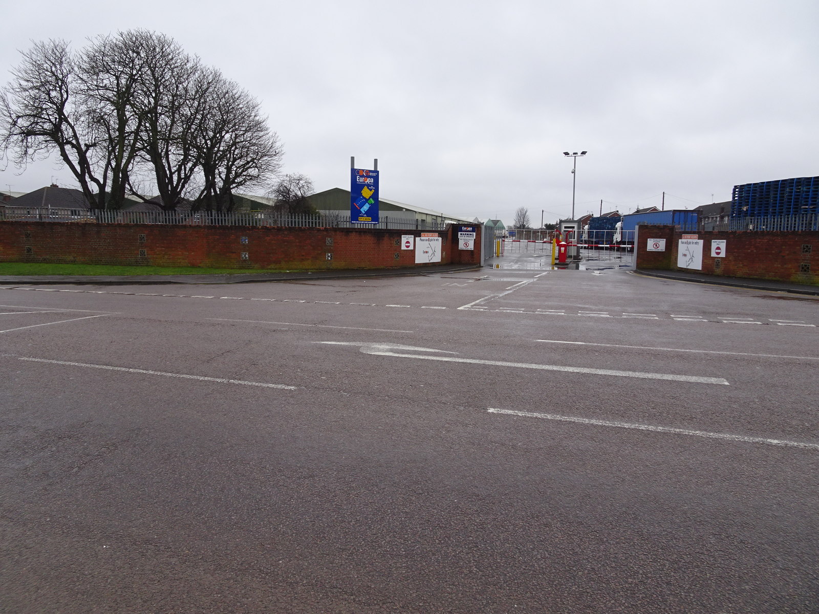
left of the blue sign. No trace of the station remains, the station site and bridge having been levelled.
450:– If you remix, transform, or build upon the material, you must distribute your contributions under the
368:
on the
Geograph website for the photographer's contact details. The copyright on this image is owned by
404:
866:"}},"text\/plain":{"en":{"P7787":"225 degree"}}}}": -->
802:"}},"text\/plain":{"en":{"P7787":"225 degree"}}}}": -->
108:
974:
731:
716:
572:
205:
332:
282:
373:
95:
221:
266:
316:
157:
178:
168:
353:
365:
931:
Click on a date/time to view the file as it appeared at that time.
318:
268:
133:
Stratton railway station (site), Swindon (geograph 5722930).jpg
293:
243:
83:
303:
51° 35′ 15.8″ N, 1° 45′ 20″ W
253:
51° 35′ 17.1″ N, 1° 45′ 19″ W
492:
Add a one-line explanation of what this file represents
73:(1,600 × 1,200 pixels, file size: 469 KB, MIME type:
196:
Creative
Commons Attribution Share-alike license 2.0
127:
107:
Commons is a freely licensed media file repository.
661:
Creative
Commons Attribution-ShareAlike 2.0 Generic
461:https://creativecommons.org/licenses/by-sa/2.0
88:
467:Creative Commons Attribution-Share Alike 2.0
385:
8:
863:
799:
427:– to copy, distribute and transmit the work
933:
488:
732:https://www.geograph.org.uk/photo/5722930
573:https://www.geograph.org.uk/profile/84225
236:Stratton railway station (site), Swindon
217:Stratton railway station (site), Swindon
144:Stratton railway station (site), Swindon
993:
887:
871:
823:
807:
781:
765:
694:
678:
658:
642:
622:
606:
539:
523:
506:
503:
484:
477:
296:
246:
981:Transferred from geograph.co.uk using
325:View this and other nearby images on:
275:View this and other nearby images on:
7:
372:and is licensed for reuse under the
922:
408:Attribution-Share Alike 2.0 Generic
396:
391:
376:Attribution-ShareAlike 2.0 license.
497:
491:
382:
359:
137:
120:
66:
496:
810:coordinates of the point of view
482:
438:Under the following conditions:
403:This file is licensed under the
395:
390:
384:
352:
331:
317:
309:
281:
267:
259:
87:
21:
479:
138:
14:
697:file available on the internet
478:
360:This image was taken from the
26:
1:
874:coordinates of depicted place
825:51°35'17.084"N, 1°45'18.544"W
747:Geograph Britain and Ireland
581:object of statement has role
504:Items portrayed in this file
308:
258:
889:51°35'15.79"N, 1°45'19.58"W
234:Nigel Thompson /
215:Nigel Thompson /
1012:
452:same or compatible license
923:
16:
996:Stratton railway station
710:geograph.org.uk image ID
481:
418:
94:This is a file from the
980:
959:14:17, 30 December 2019
206:required by the license
184:
174:
163:
156:
153:
130:
98:. Information from its
366:this photograph's page
337:51.587720; -1.755440
287:51.588079; -1.755151
101:description page there
36:Size of this preview:
60:1,600 × 1,200 pixels
433:– to adapt the work
42:Other resolutions:
553:author name string
56:1,280 × 960 pixels
52:1,024 × 768 pixels
984:
865:
801:
645:copyright license
490:
381:
380:
364:collection. See
342:
341:
292:
291:
241:
240:
209:
193:
190:Reusing this file
116:
115:
96:Wikimedia Commons
1003:
971:
911:
910:
905:
847:
846:
841:
749:
744:
734:
729:
725:described at URL
719:
714:
609:copyright status
590:
585:
575:
570:
560:
557:
474:
471:
468:
465:
462:
454:as the original.
416:
405:Creative Commons
399:
398:
394:
393:
388:
387:
374:Creative Commons
362:Geograph project
356:
349:
338:
335:
321:
320:
314:
313:
312:
306:
305:
294:
288:
285:
271:
270:
264:
263:
262:
256:
255:
244:
203:
187:
159:
142:
134:
128:
112:
91:
90:
84:
78:
76:
63:
48:640 × 480 pixels
44:320 × 240 pixels
38:800 × 600 pixels
1011:
1010:
1006:
1005:
1004:
1002:
1001:
1000:
992:
985:
977:
969:
925:
924:
921:
920:
919:
918:
917:
916:
915:
914:
913:
912:
908:
906:
903:
894:
893:
892:
890:
880:
879:
878:
876:
857:
856:
855:
854:
853:
852:
851:
850:
849:
848:
844:
842:
839:
830:
829:
828:
826:
816:
815:
814:
812:
793:
792:
791:
790:
789:
788:
787:
786:
784:
774:
773:
772:
770:
759:
758:
757:
756:
755:
754:
753:
752:
751:
750:
745:
742:
736:
735:
730:
727:
721:
720:
715:
712:
703:
702:
701:
699:
687:
686:
685:
683:
672:
671:
670:
669:
668:
667:
666:
665:
663:
651:
650:
649:
647:
636:
635:
634:
633:
632:
631:
630:
629:
627:
615:
614:
613:
611:
600:
599:
598:
597:
596:
595:
594:
593:
592:
591:
586:
583:
577:
576:
571:
568:
562:
561:
558:
555:
546:
545:
544:
542:
532:
531:
530:
528:
517:
516:
515:
514:
513:
511:
495:
494:
493:
476:
475:
472:
469:
466:
463:
460:
459:
417:
414:
411:
400:
377:
347:
336:
310:
301:
300:
297:Object location
286:
260:
251:
250:
247:Camera location
242:
231:
224:
212:
169:geograph.org.uk
149:
132:
125:
118:
117:
106:
105:
104:is shown below.
80:
74:
72:
65:
64:
41:
12:
11:
5:
1009:
1007:
999:
998:
990:
989:
988:
983:
982:
979:
975:
972:
968:1,600 × 1,200
966:
961:
956:
952:
951:
948:
945:
942:
939:
936:
929:
928:
899:
898:
897:
896:
895:
891:
888:
886:
885:
884:
883:
882:
881:
877:
872:
870:
869:
868:
867:
861:
835:
834:
833:
832:
831:
827:
824:
822:
821:
820:
819:
818:
817:
813:
808:
806:
805:
804:
803:
797:
785:
782:
780:
779:
778:
777:
776:
775:
771:
766:
764:
763:
762:
761:
760:
738:
737:
723:
722:
708:
707:
706:
705:
704:
700:
695:
693:
692:
691:
690:
689:
688:
684:
681:source of file
679:
677:
676:
675:
674:
673:
664:
659:
657:
656:
655:
654:
653:
652:
648:
643:
641:
640:
639:
638:
637:
628:
623:
621:
620:
619:
618:
617:
616:
612:
607:
605:
604:
603:
602:
601:
579:
578:
564:
563:
559:Nigel Thompson
551:
550:
549:
548:
547:
543:
540:
538:
537:
536:
535:
534:
533:
529:
524:
522:
521:
520:
519:
518:
512:
507:
505:
502:
501:
500:
499:
498:
487:
486:
483:
480:
458:
457:
456:
455:
445:
436:
435:
434:
428:
421:You are free:
415:Nigel Thompson
412:
402:
401:
383:
379:
378:
370:Nigel Thompson
357:
346:
343:
340:
339:
329:
323:
298:
290:
289:
279:
273:
248:
239:
238:
232:
229:
226:
225:
220:
213:
210:
198:
197:
194:
182:
181:
179:Nigel Thompson
176:
172:
171:
165:
161:
160:
155:
151:
150:
135:
126:
124:
121:
119:
114:
113:
92:
82:
81:
35:
31:
30:
29:
24:
19:
13:
10:
9:
6:
4:
3:
2:
1008:
997:
994:
986:
978:
973:
967:
965:
962:
960:
957:
954:
953:
949:
946:
943:
940:
937:
935:
934:
932:
926:
902:
875:
838:
811:
783:31 March 2018
769:
748:
741:
733:
726:
718:
711:
698:
682:
662:
646:
626:
610:
589:
582:
574:
567:
554:
527:
510:
464:CC BY-SA 2.0
453:
449:
446:
443:
440:
439:
437:
432:
429:
426:
423:
422:
420:
419:
413:Attribution:
409:
406:
389:
375:
371:
367:
363:
358:
355:
351:
350:
344:
334:
330:
328:
327:OpenStreetMap
324:
322:
304:
299:
295:
284:
280:
278:
277:OpenStreetMap
274:
272:
254:
249:
245:
237:
233:
228:
227:
223:
219: /
218:
214:
207:
202:
200:
199:
195:
191:
186:
183:
180:
177:
173:
170:
166:
162:
158:31 March 2018
152:
146:
145:
141:
136:
129:
122:
110:
103:
102:
97:
93:
86:
85:
79:
70:
69:Original file
61:
57:
53:
49:
45:
39:
34:
28:
25:
23:
20:
18:
15:
930:
927:File history
588:photographer
447:
441:
430:
424:
369:
307:
257:
235:
222:CC BY-SA 2.0
216:
143:
139:
109:You can help
99:
67:
22:File history
976:Lamberhurst
625:copyrighted
448:share alike
442:attribution
201:Attribution
131:Description
987:File usage
944:Dimensions
541:some value
185:Permission
75:image/jpeg
27:File usage
941:Thumbnail
938:Date/Time
768:inception
345:Licensing
230:InfoField
211:InfoField
140:English:
970:(469 KB)
740:operator
485:Captions
431:to remix
425:to share
410:license.
955:current
950:Comment
901:heading
860:heading
837:heading
796:heading
717:5722930
526:creator
509:depicts
489:English
123:Summary
71:
909:degree
864:degree
845:degree
800:degree
315:
265:
175:Author
164:Source
167:From
947:User
907:225
843:225
473:true
470:true
154:Date
17:File
566:URL
904::
840::
743::
728::
713::
584::
569::
556::
58:|
54:|
50:|
46:|
40:.
208:)
204:(
192:)
188:(
111:.
77:)
62:.
Text is available under the Creative Commons Attribution-ShareAlike License. Additional terms may apply.
,_Swindon_(geograph_5722930).jpg)
,_Swindon_(geograph_5722930).jpg¶ms=051.588079_N_-001.755151_E_globe:Earth_type:camera_source:geograph-osgb36(SU17068772)_heading:225.00&language=en)
,_Swindon_(geograph_5722930).jpg¶ms=051.587720_N_-001.755440_E_globe:Earth_class:object_type:object_source:geograph-osgb36(SU17048768)_heading:225.00&language=en)
