38:
222:
228:
233:
94:
503:
274:– You must give appropriate credit, provide a link to the license, and indicate if changes were made. You may do so in any reasonable manner, but not in any way that suggests the licensor endorses you or your use.
60:
56:
52:
48:
42:
105:
73:
206:
448:
412:
376:
281:
432:
360:
396:
343:
550:
502:
497:
64:
37:
177:
243:
546:
The following pages on the
English Knowledge (XXG) use this file (pages on other projects are not listed):
280:– If you remix, transform, or build upon the material, you must distribute your contributions under the
240:
521:
144:
113:
573:
533:
214:
100:
513:
529:
525:
194:
190:
171:
583:
568:
470:
Click on a date/time to view the file as it appeared at that time.
88:
327:
Add a one-line explanation of what this file represents
593:
127:
112:
Commons is a freely licensed media file repository.
413:
Creative
Commons Attribution-ShareAlike 2.0 Generic
78:(2,117 × 2,793 pixels, file size: 5 MB, MIME type:
520:{{Information |Description={{de|Streckenkarte der
574:Knowledge (XXG):Kartenwerkstatt/Archiv/2011-03
291:https://creativecommons.org/licenses/by-sa/2.0
93:
297:Creative Commons Attribution-Share Alike 2.0
221:
8:
257:– to copy, distribute and transmit the work
472:
323:
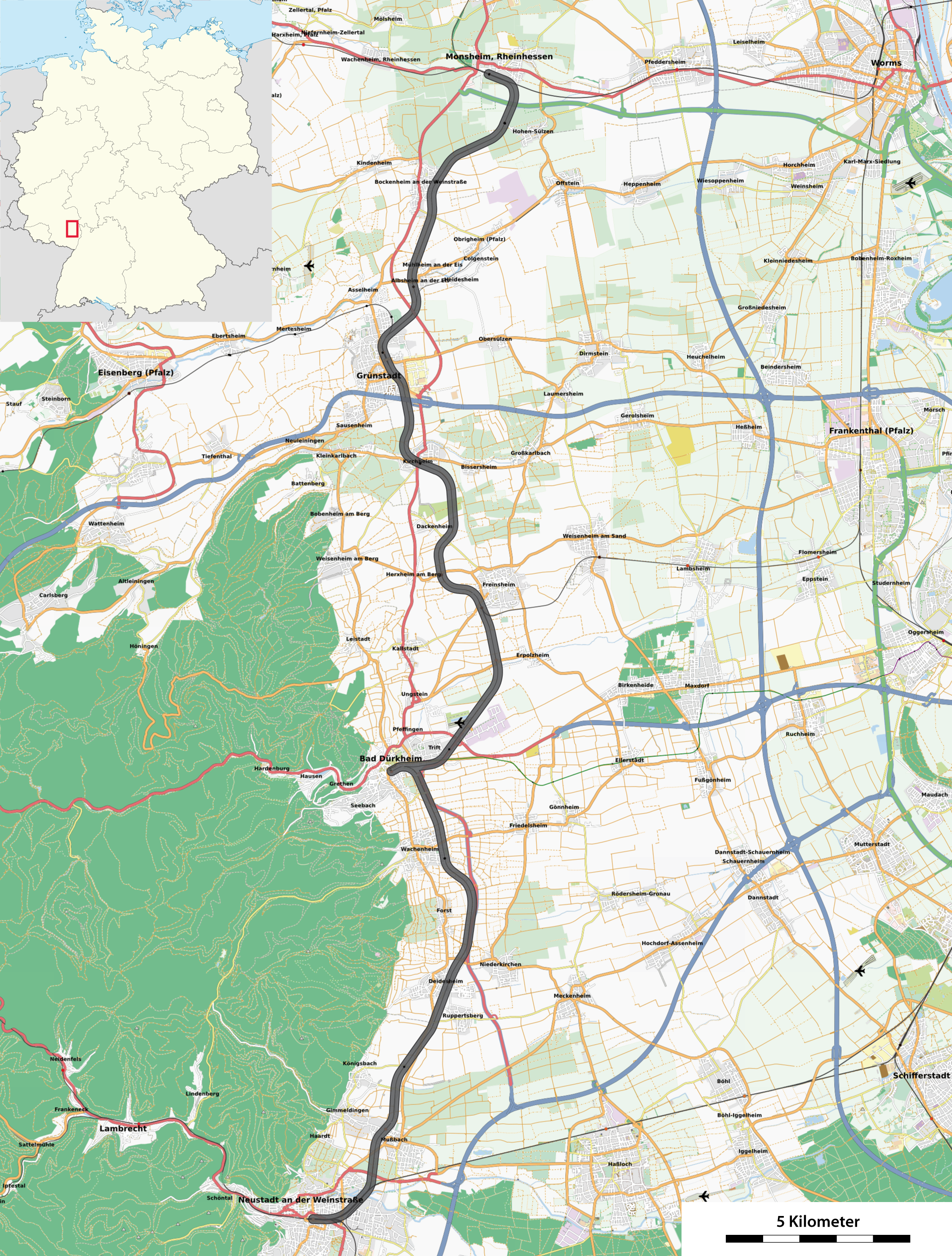
133:Streckenkarte der Pfälzischen Nordbahn.png
561:The following other wikis use this file:
548:
446:
430:
410:
394:
374:
358:
341:
338:
319:
312:
7:
213:All OpenStreetMap data and maps are
461:
244:Attribution-Share Alike 2.0 Generic
232:
227:
332:
326:
218:
137:
125:
71:
331:
317:
268:Under the following conditions:
239:This file is licensed under the
231:
226:
220:
92:
31:
21:
314:
14:
536:data for the background * [[:F
313:
138:
26:
1:
449:original creation by uploader
339:Items portrayed in this file
532:) |Source={{own}}, using *
612:
590:Usage on www.wikidata.org
580:Usage on nl.wikipedia.org
565:Usage on de.wikipedia.org
282:same or compatible license
551:Palatine Northern Railway
462:
164:
16:
316:
248:
180:for the orientation map.
99:This is a file from the
519:
217:"CC-BY-SA 2.0" licensed
201:
186:
174:data for the background
159:
154:
151:
130:
103:. Information from its
106:description page there
41:Size of this preview:
526:Maximilian Dörrbecker
191:Maximilian Dörrbecker
498:20:36, 27 March 2011
65:2,117 × 2,793 pixels
584:Bad Dürkheim (stad)
569:Pfälzische Nordbahn
522:Pfälzische Nordbahn
263:– to adapt the work
145:Pfälzische Nordbahn
47:Other resolutions:
143:Streckenkarte der
61:776 × 1,024 pixels
557:Global file usage
539:
397:copyright license
325:
310:
309:
210:
207:Reusing this file
121:
120:
101:Wikimedia Commons
32:Global file usage
603:
510:
361:copyright status
304:
301:
298:
295:
292:
284:as the original.
241:Creative Commons
235:
234:
230:
229:
224:
223:
215:Creative Commons
204:
166:
155:see file history
142:
134:
128:
117:
96:
95:
89:
83:
81:
68:
57:582 × 768 pixels
53:364 × 480 pixels
49:182 × 240 pixels
43:454 × 599 pixels
611:
610:
606:
605:
604:
602:
601:
600:
555:
547:
540:
516:
508:
464:
463:
460:
459:
458:
457:
456:
455:
454:
453:
451:
439:
438:
437:
435:
424:
423:
422:
421:
420:
419:
418:
417:
415:
403:
402:
401:
399:
388:
387:
386:
385:
384:
383:
382:
381:
379:
367:
366:
365:
363:
352:
351:
350:
349:
348:
346:
330:
329:
328:
311:
306:
305:
302:
299:
296:
293:
290:
289:
247:
236:
147:
132:
123:
122:
111:
110:
109:is shown below.
85:
79:
77:
70:
69:
46:
12:
11:
5:
609:
607:
599:
598:
597:
596:
588:
587:
586:
578:
577:
576:
571:
559:
558:
554:
553:
545:
544:
543:
538:
537:
518:
514:
511:
507:2,117 × 2,793
505:
500:
495:
491:
490:
487:
484:
481:
478:
475:
468:
467:
452:
447:
445:
444:
443:
442:
441:
440:
436:
433:source of file
431:
429:
428:
427:
426:
425:
416:
411:
409:
408:
407:
406:
405:
404:
400:
395:
393:
392:
391:
390:
389:
380:
375:
373:
372:
371:
370:
369:
368:
364:
359:
357:
356:
355:
354:
353:
347:
342:
340:
337:
336:
335:
334:
333:
322:
321:
318:
315:
308:
307:
288:
287:
286:
285:
275:
266:
265:
264:
258:
251:You are free:
238:
237:
219:
211:
199:
198:
188:
184:
183:
182:
181:
175:
161:
157:
156:
153:
149:
148:
135:
126:
124:
119:
118:
97:
87:
86:
40:
36:
35:
34:
29:
24:
19:
13:
10:
9:
6:
4:
3:
2:
608:
595:
592:
591:
589:
585:
582:
581:
579:
575:
572:
570:
567:
566:
564:
563:
562:
556:
552:
549:
541:
535:
534:OpenStreetMap
531:
527:
523:
517:
512:
506:
504:
501:
499:
496:
493:
492:
488:
485:
482:
479:
476:
474:
473:
471:
465:
450:
434:
414:
398:
378:
362:
345:
294:CC BY-SA 2.0
283:
279:
276:
273:
270:
269:
267:
262:
259:
256:
253:
252:
250:
249:
245:
242:
225:
216:
212:
208:
203:
200:
196:
192:
189:
185:
179:
176:
173:
172:OpenStreetMap
170:
169:
168:
162:
158:
150:
146:
141:
136:
129:
115:
108:
107:
102:
98:
91:
90:
84:
75:
74:Original file
66:
62:
58:
54:
50:
44:
39:
33:
30:
28:
25:
23:
20:
18:
15:
560:
469:
466:File history
277:
271:
260:
254:
163:
139:
114:You can help
104:
72:
22:File history
524:}} |Author=
377:copyrighted
278:share alike
272:attribution
131:Description
542:File usage
483:Dimensions
202:Permission
27:File usage
480:Thumbnail
477:Date/Time
178:this file
140:Deutsch:
80:image/png
320:Captions
261:to remix
255:to share
246:license.
167:, using
165:Own work
594:Q879696
494:current
489:Comment
344:depicts
324:English
76:
530:Chumwa
515:Chumwa
509:(5 MB)
195:Chumwa
187:Author
160:Source
486:User
303:true
300:true
152:Date
17:File
63:|
59:|
55:|
51:|
45:.
528:(
209:)
205:(
197:)
193:(
116:.
82:)
67:.
Text is available under the Creative Commons Attribution-ShareAlike License. Additional terms may apply.