38:
421:
355:
307:
243:
222:
206:
190:
174:
157:
439:
362:
314:
376:
328:
399:
445:
450:
98:
1139:
347:
64:
60:
56:
52:
48:
42:
109:
299:
77:
500:– You must give appropriate credit, provide a link to the license, and indicate if changes were made. You may do so in any reasonable manner, but not in any way that suggests the licensor endorses you or your use.
156:
354:
306:
242:
205:
420:
221:
189:
173:
1138:
1133:
68:
37:
861:
752:
716:
369:
321:
1050:
896:
597:
406:
825:
507:
679:
580:
1070:
1034:
1000:
966:
904:
845:
783:
765:
700:
672:
659:
644:
932:
889:
874:
736:
617:
564:
809:
393:
254:
460:
506:– If you remix, transform, or build upon the material, you must distribute your contributions under the
413:
on the
Geograph website for the photographer's contact details. The copyright on this image is owned by
248:
235:
1149:
457:
266:
117:
278:
1170:
911:
881:
651:
267:
375:
327:
426:
104:
359:
311:
273:
272:
260:
144:
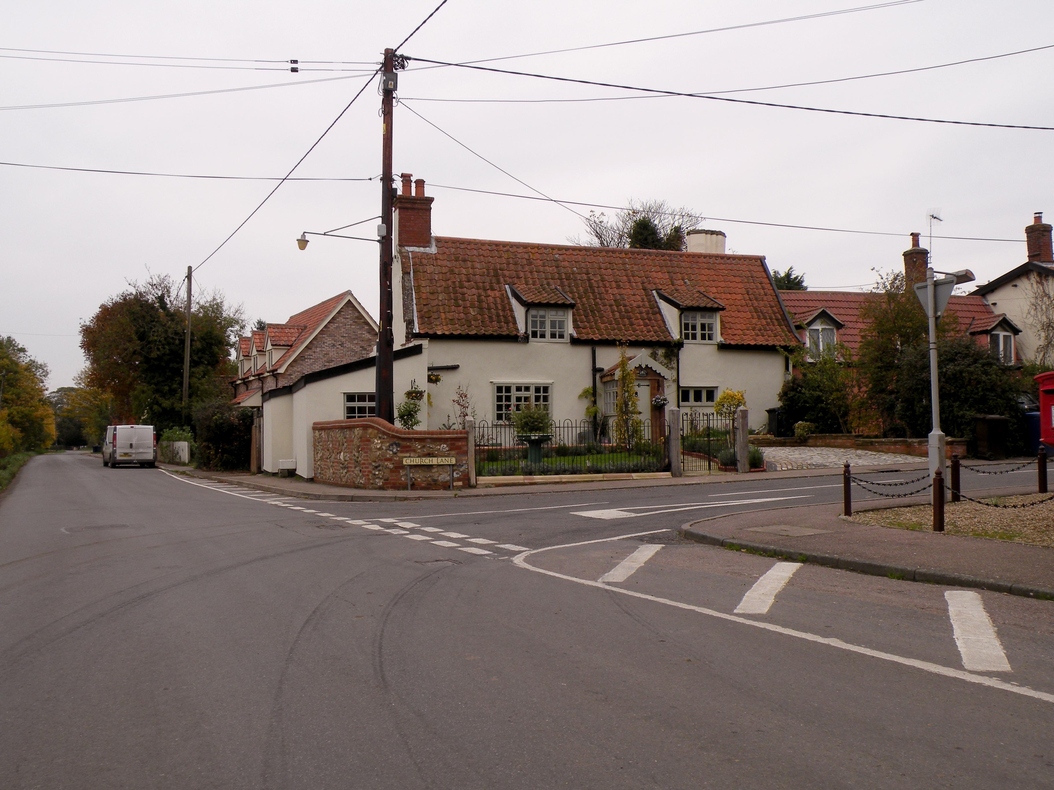
Road junction where Church Lane meets The Street - geograph.org.uk - 2135243.jpg
184:
1156:
Uploading geograph.org.uk image from https://www.geograph.org.uk/photo/2135243
200:
415:
216:
398:
410:
1106:
Click on a date/time to view the file as it appeared at that time.
361:
313:
1188:
249:
236:
338:
290:
92:
993:
959:
348:
52° 20′ 08.8″ N, 0° 54′ 46″ E
300:
52° 20′ 08.2″ N, 0° 54′ 46″ E
154:
Road junction where Church Lane meets The Street
82:(3,648 × 2,736 pixels, file size: 950 KB, MIME type:
279:
255:
138:
116:
Commons is a freely licensed media file repository.
753:
Creative
Commons Attribution-ShareAlike 2.0 Generic
773:Road junction where Church Lane meets The Street
548:Road junction where Church Lane meets The Street
469:Road junction where Church Lane meets The Street
517:https://creativecommons.org/licenses/by-sa/2.0
97:
523:Creative Commons Attribution-Share Alike 2.0
438:
8:
483:– to copy, distribute and transmit the work
1108:
544:
419:
353:
305:
241:
220:
204:
188:
172:
155:
1181:The following other wikis use this file:
882:https://www.geograph.org.uk/photo/2135243
261:
652:https://www.geograph.org.uk/profile/3763
1168:
1084:
1068:
1048:
1032:
1014:
998:
980:
964:
946:
930:
859:
843:
823:
807:
750:
734:
714:
698:
631:
615:
595:
578:
562:
559:
540:
533:
341:
293:
368:View this and other nearby images on:
320:View this and other nearby images on:
7:
425:and is licensed for reuse under the
1166:The following page uses this file:
1097:
461:Attribution-Share Alike 2.0 Generic
449:
444:
429:Attribution-ShareAlike 2.0 license.
553:
547:
435:
404:
148:
129:
75:
552:
967:coordinates of the point of view
538:
494:Under the following conditions:
456:This file is licensed under the
448:
443:
437:
397:
374:
360:
326:
312:
96:
31:
21:
535:
14:
862:file available on the internet
534:
405:This image was taken from the
26:
1:
1001:coordinates of depicted place
897:Geograph Britain and Ireland
673:object of statement has role
560:Items portrayed in this file
201:Geograph Britain and Ireland
1207:
1185:Usage on fr.wikipedia.org
775:
508:same or compatible license
1098:
772:
16:
1016:52°20'8.9"N, 0°54'46.1"E
982:52°20'8.2"N, 0°54'46.1"E
905:geograph.org.uk image ID
537:
474:
103:This is a file from the
1155:
212:
196:
183:
180:
141:
107:. Information from its
471:by Robert Edwards
411:this photograph's page
380:52.335788; 0.912845
332:52.335607; 0.912834
110:description page there
41:Size of this preview:
1035:location of creation
171:road, Hepworth
69:3,648 × 2,736 pixels
65:2,560 × 1,920 pixels
489:– to adapt the work
47:Other resolutions:
1189:Hepworth (Suffolk)
1134:00:12, 9 June 2021
784:author name string
660:author name string
61:1,280 × 960 pixels
57:1,024 × 768 pixels
1177:Global file usage
1171:Hepworth, Suffolk
1159:
737:copyright license
546:
434:
433:
409:collection. See
385:
384:
337:
336:
288:
287:
283:
229:Place of creation
125:
124:
105:Wikimedia Commons
32:Global file usage
1198:
1146:
914:
909:
899:
894:
884:
879:
875:described at URL
791:
788:
778:
777:
774:
770:
701:copyright status
682:
677:
667:
664:
654:
649:
530:
527:
524:
521:
518:
510:as the original.
472:
458:Creative Commons
452:
451:
447:
446:
441:
440:
427:Creative Commons
423:
407:Geograph project
401:
394:
390:
381:
378:
364:
363:
357:
351:
350:
339:
333:
330:
316:
315:
309:
303:
302:
291:
281:
275:
269:
263:
257:
251:
247:
245:
238:
224:
208:
192:
186:
176:
159:
153:
145:
139:
134:
121:
100:
99:
93:
87:
85:
72:
53:640 × 480 pixels
49:320 × 240 pixels
43:800 × 600 pixels
1206:
1205:
1201:
1200:
1199:
1197:
1196:
1195:
1175:
1160:
1152:
1144:
1100:
1099:
1096:
1095:
1094:
1093:
1092:
1091:
1090:
1089:
1087:
1077:
1076:
1075:
1073:
1062:
1061:
1060:
1059:
1058:
1057:
1056:
1055:
1053:
1041:
1040:
1039:
1037:
1026:
1025:
1024:
1023:
1022:
1021:
1020:
1019:
1017:
1007:
1006:
1005:
1003:
992:
991:
990:
989:
988:
987:
986:
985:
983:
973:
972:
971:
969:
958:
957:
956:
955:
954:
953:
952:
951:
949:
948:29 October 2010
939:
938:
937:
935:
924:
923:
922:
921:
920:
919:
918:
917:
916:
915:
910:
907:
901:
900:
895:
892:
886:
885:
880:
877:
868:
867:
866:
864:
852:
851:
850:
848:
837:
836:
835:
834:
833:
832:
831:
830:
828:
816:
815:
814:
812:
801:
800:
799:
798:
797:
796:
795:
794:
793:
792:
789:
786:
780:
779:
771:
768:
759:
758:
757:
755:
743:
742:
741:
739:
728:
727:
726:
725:
724:
723:
722:
721:
719:
707:
706:
705:
703:
692:
691:
690:
689:
688:
687:
686:
685:
684:
683:
678:
675:
669:
668:
665:
662:
656:
655:
650:
647:
638:
637:
636:
634:
624:
623:
622:
620:
609:
608:
607:
606:
605:
604:
603:
602:
600:
589:
588:
587:
586:
585:
583:
571:
570:
569:
567:
551:
550:
549:
532:
531:
528:
525:
522:
519:
516:
515:
473:
467:
464:
453:
430:
392:
388:
379:
346:
345:
342:Object location
331:
298:
297:
294:Camera location
289:
268:East of England
232:
185:29 October 2010
168:
160:
149:
143:
136:
132:
127:
126:
115:
114:
113:is shown below.
89:
83:
81:
74:
73:
46:
12:
11:
5:
1204:
1202:
1194:
1193:
1192:
1191:
1179:
1178:
1174:
1173:
1164:
1163:
1158:
1157:
1154:
1150:
1147:
1143:3,648 × 2,736
1141:
1136:
1131:
1127:
1126:
1123:
1120:
1117:
1114:
1111:
1104:
1103:
1088:
1085:
1083:
1082:
1081:
1080:
1079:
1078:
1074:
1069:
1067:
1066:
1065:
1064:
1063:
1054:
1049:
1047:
1046:
1045:
1044:
1043:
1042:
1038:
1033:
1031:
1030:
1029:
1028:
1027:
1018:
1015:
1013:
1012:
1011:
1010:
1009:
1008:
1004:
999:
997:
996:
995:
994:
984:
981:
979:
978:
977:
976:
975:
974:
970:
965:
963:
962:
961:
960:
950:
947:
945:
944:
943:
942:
941:
940:
936:
931:
929:
928:
927:
926:
925:
903:
902:
888:
887:
873:
872:
871:
870:
869:
865:
860:
858:
857:
856:
855:
854:
853:
849:
846:source of file
844:
842:
841:
840:
839:
838:
829:
824:
822:
821:
820:
819:
818:
817:
813:
808:
806:
805:
804:
803:
802:
790:Robert Edwards
782:
781:
764:
763:
762:
761:
760:
756:
751:
749:
748:
747:
746:
745:
744:
740:
735:
733:
732:
731:
730:
729:
720:
715:
713:
712:
711:
710:
709:
708:
704:
699:
697:
696:
695:
694:
693:
671:
670:
666:Robert Edwards
658:
657:
643:
642:
641:
640:
639:
635:
632:
630:
629:
628:
627:
626:
625:
621:
616:
614:
613:
612:
611:
610:
601:
596:
594:
593:
592:
591:
590:
584:
579:
577:
576:
575:
574:
573:
572:
568:
563:
561:
558:
557:
556:
555:
554:
543:
542:
539:
536:
514:
513:
512:
511:
501:
492:
491:
490:
484:
477:You are free:
465:
455:
454:
436:
432:
431:
416:Robert Edwards
402:
391:
386:
383:
382:
372:
366:
343:
335:
334:
324:
318:
295:
286:
285:
280:United Kingdom
233:
230:
226:
225:
217:Robert Edwards
214:
210:
209:
198:
194:
193:
182:
178:
177:
169:
166:
162:
161:
146:
137:
135:
130:
128:
123:
122:
101:
91:
90:
40:
36:
35:
34:
29:
24:
19:
13:
10:
9:
6:
4:
3:
2:
1203:
1190:
1187:
1186:
1184:
1183:
1182:
1176:
1172:
1169:
1167:
1161:
1153:
1148:
1142:
1140:
1137:
1135:
1132:
1129:
1128:
1124:
1121:
1118:
1115:
1112:
1110:
1109:
1107:
1101:
1072:
1052:
1036:
1002:
968:
934:
913:
906:
898:
891:
883:
876:
863:
847:
827:
811:
785:
767:
754:
738:
718:
702:
681:
674:
661:
653:
646:
619:
599:
582:
566:
520:CC BY-SA 2.0
509:
505:
502:
499:
496:
495:
493:
488:
485:
482:
479:
478:
476:
475:
470:
466:Attribution:
462:
459:
442:
428:
424:
422:
417:
412:
408:
403:
400:
396:
395:
387:
377:
373:
371:
370:OpenStreetMap
367:
365:
356:
349:
344:
340:
329:
325:
323:
322:OpenStreetMap
319:
317:
308:
301:
296:
292:
282:
276:
270:
264:
258:
252:
244:
239:
234:
228:
227:
223:
218:
215:
211:
207:
202:
199:
195:
191:
179:
175:
170:
164:
163:
158:
152:
147:
140:
131:
119:
112:
111:
106:
102:
95:
94:
88:
79:
78:Original file
70:
66:
62:
58:
54:
50:
44:
39:
33:
30:
28:
25:
23:
20:
18:
15:
1180:
1165:
1105:
1102:File history
680:photographer
503:
497:
486:
480:
468:
414:
256:West Suffolk
150:
118:You can help
108:
76:
22:File history
1151:GeographBot
810:instance of
717:copyrighted
504:share alike
498:attribution
142:Description
1162:File usage
1119:Dimensions
1086:image/jpeg
1071:media type
826:photograph
633:some value
84:image/jpeg
27:File usage
1116:Thumbnail
1113:Date/Time
933:inception
776:(English)
389:Licensing
231:InfoField
167:InfoField
1145:(950 KB)
1051:Hepworth
890:operator
598:Hepworth
541:Captions
487:to remix
481:to share
463:license.
250:Hepworth
237:Hepworth
151:English:
1130:current
1125:Comment
912:2135243
618:creator
565:depicts
545:English
274:England
262:Suffolk
165:Depicts
133:Summary
80:
418:
358:
352:
310:
304:
240:
219:
213:Author
203:
197:Source
187:
766:title
1122:User
581:road
529:true
526:true
181:Date
17:File
645:URL
908::
893::
878::
787::
769::
676::
663::
648::
67:|
63:|
59:|
55:|
51:|
45:.
284:)
277:→
271:→
265:→
259:→
253:→
246:(
120:.
86:)
71:.
Text is available under the Creative Commons Attribution-ShareAlike License. Additional terms may apply.