360:
274:
43:
315:
288:
366:
371:
99:
946:
429:– You must give appropriate credit, provide a link to the license, and indicate if changes were made. You may do so in any reasonable manner, but not in any way that suggests the licensor endorses you or your use.
265:
332:
330:; with no Invariant Sections, no Front-Cover Texts, and no Back-Cover Texts. A copy of the license is included in the section entitled
240:
322:
65:
61:
57:
53:
47:
857:
821:
751:
734:
717:
700:
683:
666:
630:
281:
110:
1172:
78:
1048:
This file contains additional information, probably added from the digital camera or scanner used to create or digitize it.
436:
550:
877:
841:
805:
614:
586:
571:
558:
543:
327:
1035:
771:
650:
516:
499:
578:
976:
165:
398:
394:
390:
386:
382:
185:
1051:
If the file has been modified from its original state, some details may not fully reflect the modified file.
1002:
435:– If you remix, transform, or build upon the material, you must distribute your contributions under the
1070:
378:
993:
The following pages on the
English Knowledge use this file (pages on other projects are not listed):
1235:
118:
593:
189:
309:
320:
Permission is granted to copy, distribute and/or modify this document under the terms of the
997:
956:
945:
940:
69:
42:
1060:
980:
972:
968:
161:
157:
287:
1303:
1225:
1199:
1085:
964:
306:
I, the copyright holder of this work, hereby publish it under the following licenses:
247:
228:
153:
105:
1313:
1114:
193:
169:
1245:
271:
208:
197:
173:
1095:
1025:
913:
Click on a date/time to view the file as it appeared at that time.
870:
273:
1020:
266:
50° 28′ 48.11″ N, 7° 19′ 49.99″ E
256:
93:
718:
Creative
Commons Attribution-ShareAlike 4.0 International
483:
Add a one-line explanation of what this file represents
83:(1,620 × 2,460 pixels, file size: 297 KB, MIME type:
752:
Creative
Commons Attribution-ShareAlike 3.0 Unported
701:
326:, Version 1.2 or any later version published by the
137:
117:
Commons is a freely licensed media file repository.
735:
Creative
Commons Attribution-ShareAlike 2.5 Generic
684:
Creative
Commons Attribution-ShareAlike 1.0 Generic
667:
Creative
Commons Attribution-ShareAlike 2.0 Generic
1240:Flash did not fire, compulsory flash suppression
446:https://creativecommons.org/licenses/by-sa/4.0
98:
594:http://commons.wikimedia.org/User:DorisAntony
452:Creative Commons Attribution-Share Alike 4.0
359:
8:
412:– to copy, distribute and transmit the work
1053:
915:
479:
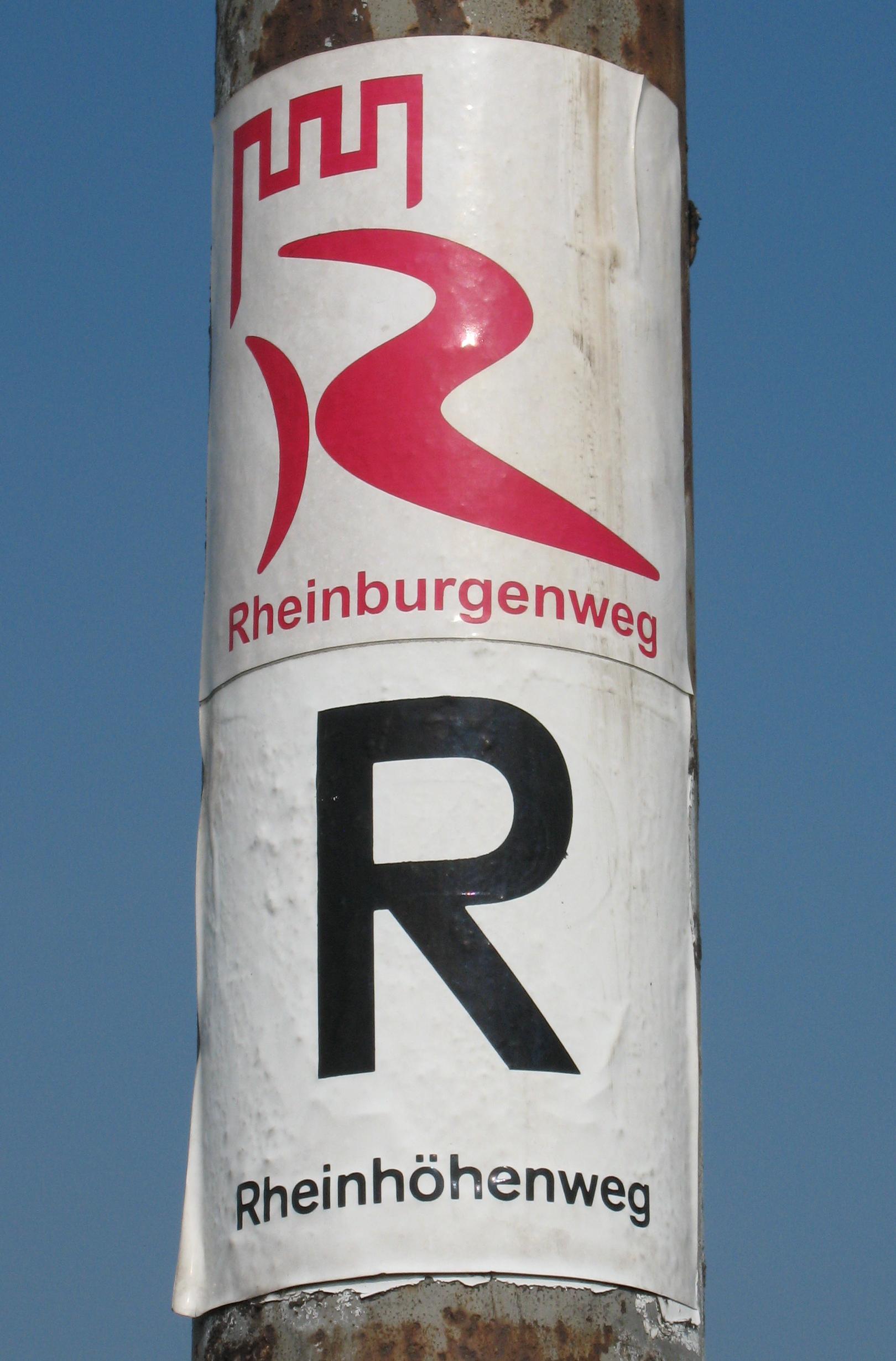
464:You may select the license of your choice.
176:(am Felsenpfad „Eselstreppe“ am Dicktberg)
1013:The following other wikis use this file:
1378:
1370:
1362:
1354:
1346:
1338:
1330:
1322:
1311:
1301:
1293:
1285:
1277:
1269:
1261:
1253:
1243:
1233:
1223:
1215:
1207:
1197:
1189:
1181:
1170:
1162:
1154:
1146:
1138:
1130:
1122:
1111:
1103:
1093:
1083:
1075:
1065:
995:
891:
875:
855:
839:
819:
803:
785:
769:
749:
732:
715:
698:
681:
664:
648:
628:
612:
530:
514:
497:
494:
475:
468:
259:
280:View this and other nearby images on:
250:put it under the GFDL and CC-BY-SA-3.0
1055:
7:
338:http://www.gnu.org/copyleft/fdl.html
904:
370:
365:
1046:
488:
482:
463:
356:
305:
178:
147:
130:
76:
963:{{Information| |Description={{de|
487:
1105:Date and time of data generation
878:coordinates of the point of view
473:
423:Under the following conditions:
377:This file is licensed under the
369:
364:
358:
314:
313:
286:
272:
97:
31:
21:
1348:Satellites used for measurement
470:
179:
14:
469:
344:GNU Free Documentation License
333:GNU Free Documentation License
323:GNU Free Documentation License
148:
26:
1:
893:50°28'48.112"N, 7°19'49.991"E
858:original creation by uploader
36:
1127:184.3 meters above sea level
1026:Benutzer:DorisAntony/Galerie
977:Verbandsgemeinde Bad Breisig
544:object of statement has role
495:Items portrayed in this file
166:Verbandsgemeinde Bad Breisig
1271:Focal plane resolution unit
1183:Date and time of digitizing
1400:
1282:One-chip color area sensor
1032:Usage on fa.wikipedia.org
1017:Usage on de.wikipedia.org
437:same or compatible license
1372:Geodetic survey data used
1156:File change date and time
905:
218:
184:Rheinburgenweg Trail and
143:Rheinburgen hoehenweg.jpg
16:
1263:Focal plane Y resolution
1255:Focal plane X resolution
1186:14:34, 21 September 2009
1159:13:10, 25 September 2009
1108:14:34, 21 September 2009
941:05:51, 27 September 2009
472:
403:
381:Attribution-Share Alike
328:Free Software Foundation
104:This is a file from the
1332:North or south latitude
1287:Custom image processing
1230:Center weighted average
962:
235:
224:
214:
207:
204:
140:
108:. Information from its
1340:East or west longitude
1191:Image compression mode
292:50.480031; 7.330553
111:description page there
46:Size of this preview:
1364:Speed of GPS receiver
1217:Maximum land aperture
1140:Horizontal resolution
1090:1/1,250 sec (0.0008)
1071:Canon PowerShot A620
822:Canon PowerShot A620
194:Rhineland-Palatinate
70:1,620 × 2,460 pixels
1359:Kilometers per hour
1220:3.625 APEX (f/3.51)
1164:Y and C positioning
1148:Vertical resolution
1057:Camera manufacturer
1003:Rheinhöhenweg Trail
418:– to adapt the work
186:Rheinhöhenweg Trail
52:Other resolutions:
1324:Scene capture type
1308:Auto white balance
572:Wikimedia username
559:author name string
66:674 × 1,024 pixels
1387:
1386:
1383:21 September 2009
1009:Global file usage
986:
787:21 September 2009
651:copyright license
481:
383:4.0 International
355:
354:
297:
296:
254:
253:
244:
241:Reusing this file
209:21 September 2009
126:
125:
106:Wikimedia Commons
32:Global file usage
1391:
1266:10,816.901408451
1258:10,816.901408451
1077:Copyright holder
1054:
953:
615:copyright status
596:
591:
581:
576:
566:
563:
553:
548:
459:
456:
453:
450:
447:
439:as the original.
379:Creative Commons
373:
372:
368:
367:
362:
361:
351:
348:
345:
342:
339:
317:
316:
310:
293:
290:
276:
275:
269:
268:
257:
238:
220:
210:
183:
152:
144:
138:
122:
101:
100:
94:
88:
86:
73:
62:506 × 768 pixels
58:316 × 480 pixels
54:158 × 240 pixels
48:395 × 600 pixels
1399:
1398:
1394:
1393:
1392:
1390:
1389:
1388:
1298:Manual exposure
1042:
1007:
994:
987:
981:Rheinland-Pfalz
959:
951:
907:
906:
903:
902:
901:
900:
899:
898:
897:
896:
894:
884:
883:
882:
880:
869:
868:
867:
866:
865:
864:
863:
862:
860:
848:
847:
846:
844:
833:
832:
831:
830:
829:
828:
827:
826:
824:
812:
811:
810:
808:
797:
796:
795:
794:
793:
792:
791:
790:
788:
778:
777:
776:
774:
763:
762:
761:
760:
759:
758:
757:
756:
754:
743:
742:
741:
740:
739:
737:
726:
725:
724:
723:
722:
720:
709:
708:
707:
706:
705:
703:
692:
691:
690:
689:
688:
686:
675:
674:
673:
672:
671:
669:
657:
656:
655:
653:
642:
641:
640:
639:
638:
637:
636:
635:
633:
621:
620:
619:
617:
606:
605:
604:
603:
602:
601:
600:
599:
598:
597:
592:
589:
583:
582:
577:
574:
568:
567:
564:
561:
555:
554:
549:
546:
537:
536:
535:
533:
523:
522:
521:
519:
508:
507:
506:
505:
504:
502:
486:
485:
484:
467:
466:
465:
461:
460:
457:
454:
451:
448:
445:
444:
402:
374:
349:
346:
343:
340:
337:
308:
307:
302:
291:
264:
263:
260:Camera location
255:
200:
177:
170:Rheinland-Pfalz
142:
135:
128:
127:
116:
115:
114:is shown below.
90:
84:
82:
75:
74:
51:
12:
11:
5:
1397:
1395:
1385:
1384:
1381:
1377:
1376:
1373:
1369:
1368:
1365:
1361:
1360:
1357:
1353:
1352:
1349:
1345:
1344:
1343:East longitude
1341:
1337:
1336:
1335:North latitude
1333:
1329:
1328:
1325:
1321:
1320:
1317:
1310:
1309:
1306:
1300:
1299:
1296:
1292:
1291:
1290:Normal process
1288:
1284:
1283:
1280:
1279:Sensing method
1276:
1275:
1272:
1268:
1267:
1264:
1260:
1259:
1256:
1252:
1251:
1248:
1242:
1241:
1238:
1232:
1231:
1228:
1222:
1221:
1218:
1214:
1213:
1210:
1206:
1205:
1202:
1196:
1195:
1192:
1188:
1187:
1184:
1180:
1179:
1176:
1169:
1168:
1165:
1161:
1160:
1157:
1153:
1152:
1149:
1145:
1144:
1141:
1137:
1136:
1133:
1129:
1128:
1125:
1121:
1120:
1117:
1110:
1109:
1106:
1102:
1101:
1098:
1092:
1091:
1088:
1082:
1081:
1078:
1074:
1073:
1068:
1064:
1063:
1058:
1045:
1041:
1040:
1039:
1038:
1030:
1029:
1028:
1023:
1011:
1010:
1006:
1005:
1000:
992:
991:
990:
985:
984:
965:Rheinburgenweg
961:
957:
954:
950:1,620 × 2,460
948:
943:
938:
934:
933:
930:
927:
924:
921:
918:
911:
910:
895:
892:
890:
889:
888:
887:
886:
885:
881:
876:
874:
873:
872:
871:
861:
856:
854:
853:
852:
851:
850:
849:
845:
842:source of file
840:
838:
837:
836:
835:
834:
825:
820:
818:
817:
816:
815:
814:
813:
809:
804:
802:
801:
800:
799:
798:
789:
786:
784:
783:
782:
781:
780:
779:
775:
770:
768:
767:
766:
765:
764:
755:
750:
748:
747:
746:
745:
744:
738:
733:
731:
730:
729:
728:
727:
721:
716:
714:
713:
712:
711:
710:
704:
699:
697:
696:
695:
694:
693:
687:
682:
680:
679:
678:
677:
676:
670:
665:
663:
662:
661:
660:
659:
658:
654:
649:
647:
646:
645:
644:
643:
634:
629:
627:
626:
625:
624:
623:
622:
618:
613:
611:
610:
609:
608:
607:
585:
584:
570:
569:
557:
556:
542:
541:
540:
539:
538:
534:
531:
529:
528:
527:
526:
525:
524:
520:
515:
513:
512:
511:
510:
509:
503:
498:
496:
493:
492:
491:
490:
489:
478:
477:
474:
471:
462:
443:
442:
441:
440:
430:
421:
420:
419:
413:
406:You are free:
376:
375:
357:
353:
352:
318:
304:
303:
301:
298:
295:
294:
284:
278:
261:
252:
251:
245:
233:
232:
226:
222:
221:
216:
212:
211:
206:
202:
201:
154:Rheinburgenweg
145:
136:
134:
131:
129:
124:
123:
102:
92:
91:
45:
41:
40:
39:
34:
29:
24:
19:
13:
10:
9:
6:
4:
3:
2:
1396:
1382:
1379:
1374:
1371:
1366:
1363:
1358:
1355:
1350:
1347:
1342:
1339:
1334:
1331:
1326:
1323:
1318:
1315:
1312:
1307:
1305:
1304:White balance
1302:
1297:
1295:Exposure mode
1294:
1289:
1286:
1281:
1278:
1273:
1270:
1265:
1262:
1257:
1254:
1249:
1247:
1244:
1239:
1237:
1234:
1229:
1227:
1226:Metering mode
1224:
1219:
1216:
1211:
1209:APEX aperture
1208:
1203:
1201:
1200:Shutter speed
1198:
1193:
1190:
1185:
1182:
1177:
1174:
1171:
1166:
1163:
1158:
1155:
1150:
1147:
1142:
1139:
1134:
1131:
1126:
1123:
1118:
1116:
1112:
1107:
1104:
1099:
1097:
1094:
1089:
1087:
1086:Exposure time
1084:
1079:
1076:
1072:
1069:
1066:
1062:
1059:
1056:
1052:
1049:
1043:
1037:
1036:بروهل-لوتسینگ
1034:
1033:
1031:
1027:
1024:
1022:
1021:Rheinhöhenweg
1019:
1018:
1016:
1015:
1014:
1008:
1004:
1001:
999:
998:Brohl-Lützing
996:
988:
982:
978:
974:
973:Brohl-Lützing
970:
969:Rheinhöhenweg
966:
960:
955:
949:
947:
944:
942:
939:
936:
935:
931:
928:
925:
922:
919:
917:
916:
914:
908:
879:
859:
843:
823:
807:
806:captured with
773:
753:
736:
719:
702:
685:
668:
652:
632:
616:
595:
588:
580:
573:
560:
552:
545:
518:
501:
449:CC BY-SA 4.0
438:
434:
431:
428:
425:
424:
422:
417:
414:
411:
408:
407:
405:
404:
400:
396:
392:
388:
384:
380:
363:
335:
334:
329:
325:
324:
319:
312:
311:
299:
289:
285:
283:
282:OpenStreetMap
279:
277:
267:
262:
258:
249:
246:
242:
237:
234:
230:
227:
223:
217:
213:
203:
199:
195:
191:
190:Brohl-Lützing
187:
182:
175:
171:
167:
163:
162:Brohl-Lützing
159:
158:Rheinhöhenweg
155:
151:
146:
139:
132:
120:
113:
112:
107:
103:
96:
95:
89:
80:
79:Original file
71:
67:
63:
59:
55:
49:
44:
38:
35:
33:
30:
28:
25:
23:
20:
18:
15:
1314:Digital zoom
1115:focal length
1080:Doris Antony
1067:Camera model
1050:
1047:
1012:
912:
909:File history
565:Doris Antony
551:photographer
432:
426:
415:
409:
387:3.0 Unported
331:
321:
248:Doris Antony
229:Doris Antony
180:
149:
119:You can help
109:
77:
22:File history
1246:Color space
1132:Orientation
983:, [[Deutsch
958:DorisAntony
631:copyrighted
579:DorisAntony
433:share alike
427:attribution
399:1.0 Generic
395:2.0 Generic
391:2.5 Generic
174:Deutschland
141:Description
1356:Speed unit
989:File usage
926:Dimensions
532:some value
236:Permission
85:image/jpeg
27:File usage
1119:21.709 mm
923:Thumbnail
920:Date/Time
772:inception
300:Licensing
181:English:
150:Deutsch:
1380:GPS date
1327:Standard
1204:10.28125
1167:Centered
1124:Altitude
1096:F-number
1044:Metadata
952:(297 KB)
476:Captions
416:to remix
410:to share
401:license.
231:, Berlin
219:Own work
37:Metadata
1367:0.44448
1212:5.65625
1175:version
1151:180 dpi
1143:180 dpi
937:current
932:Comment
517:creator
500:depicts
480:English
198:Germany
133:Summary
81:
1375:WGS-84
1274:inches
1135:Normal
270:
225:Author
215:Source
1316:ratio
1236:Flash
1113:Lens
1100:f/7.1
1061:Canon
979:) in
168:) in
1250:sRGB
1173:Exif
967:und
929:User
458:true
455:true
397:and
350:true
347:true
341:GFDL
205:Date
156:und
17:File
1178:2.2
971:in
587:URL
192:in
188:in
160:in
590::
575::
562::
547::
393:,
389:,
385:,
196:,
172:,
68:|
64:|
60:|
56:|
50:.
1351:0
1319:1
1194:5
975:(
336:.
243:)
239:(
164:(
121:.
87:)
72:.
Text is available under the Creative Commons Attribution-ShareAlike License. Additional terms may apply.