43:
345:
278:
270:
292:
313:
351:
356:
103:
636:"}},"text\/plain":{"en":{"":"heading"}}},"{\"value\":{\"amount\":\"+90\",\"unit\":\"http:\\\/\\\/www.wikidata.org\\\/entity\\\/Q28390\"},\"type\":\"quantity\"}":{"text\/html":{"en":{"P7787":"90
632:
929:
403:– You must give appropriate credit, provide a link to the license, and indicate if changes were made. You may do so in any reasonable manner, but not in any way that suggests the licensor endorses you or your use.
261:
633:
69:
65:
61:
57:
53:
47:
114:
82:
990:
976:{{Information |Description={{en|1=River Severn, Bevere Island Bridge}} |Source=From |Date=2010-10-19 |Author= |Permission=Creative Commons
198:
958:
953:
840:
719:
619:
583:
285:
739:
1188:
320:
1041:
This file contains additional information, probably added from the digital camera or scanner used to create or digitize it.
410:
546:
860:
824:
762:
703:
674:
647:
567:
539:
526:
511:
790:
747:
732:
603:
484:
467:
307:
939:
366:
1077:
1044:
If the file has been modified from its original state, some details may not fully reflect the modified file.
1000:
986:
The following pages on the
English Knowledge (XXG) use this file (pages on other projects are not listed):
928:
923:
73:
42:
1254:
409:– If you remix, transform, or build upon the material, you must distribute your contributions under the
327:
on the
Geograph website for the photographer's contact details. The copyright on this image is owned by
363:
1282:
640:"}},"text\/plain":{"en":{"P7787":"90 degree"}}}}": -->
122:
230:
969:
769:
754:
518:
214:
1067:
291:
1272:
1236:
1084:
995:
332:
109:
1124:
275:
166:
1104:
187:
177:
1094:
312:
324:
896:
Click on a date/time to view the file as it appeared at that time.
277:
262:
52° 13′ 58.48″ N, 2° 14′ 24.31″ W
252:
97:
1018:
451:
Add a one-line explanation of what this file represents
1028:
87:(4,320 × 3,240 pixels, file size: 4.86 MB, MIME type:
205:
Creative
Commons Attribution Share-alike license 2.0
141:
121:
Commons is a freely licensed media file repository.
620:
Creative
Commons Attribution-ShareAlike 2.0 Generic
1287:Flash did not fire, compulsory flash suppression
420:https://creativecommons.org/licenses/by-sa/2.0
102:
426:Creative Commons Attribution-Share Alike 2.0
344:
8:
637:
386:– to copy, distribute and transmit the work
1046:
898:
447:
1011:The following other wikis use this file:
755:https://www.geograph.org.uk/photo/2202612
519:https://www.geograph.org.uk/profile/21229
946:Higher-resolution version from Geograph.
1298:
1290:
1280:
1270:
1262:
1252:
1244:
1234:
1226:
1205:
1197:
1186:
1178:
1170:
1162:
1154:
1146:
1137:
1132:
1121:
1113:
1102:
1092:
1082:
1072:
1053:
1048:
988:
874:
858:
838:
822:
804:
788:
717:
701:
661:
645:
617:
601:
581:
565:
498:
482:
465:
462:
443:
436:
255:
284:View this and other nearby images on:
147:River Severn, Bevere Island Bridge.jpg
1140:SO8359 Bevere Bridge access to island
1062:
1056:SO8359 Bevere Bridge access to island
991:List of crossings of the River Severn
7:
331:and is licensed for reuse under the
887:
367:Attribution-Share Alike 2.0 Generic
355:
350:
335:Attribution-ShareAlike 2.0 license.
1039:
456:
450:
341:
318:
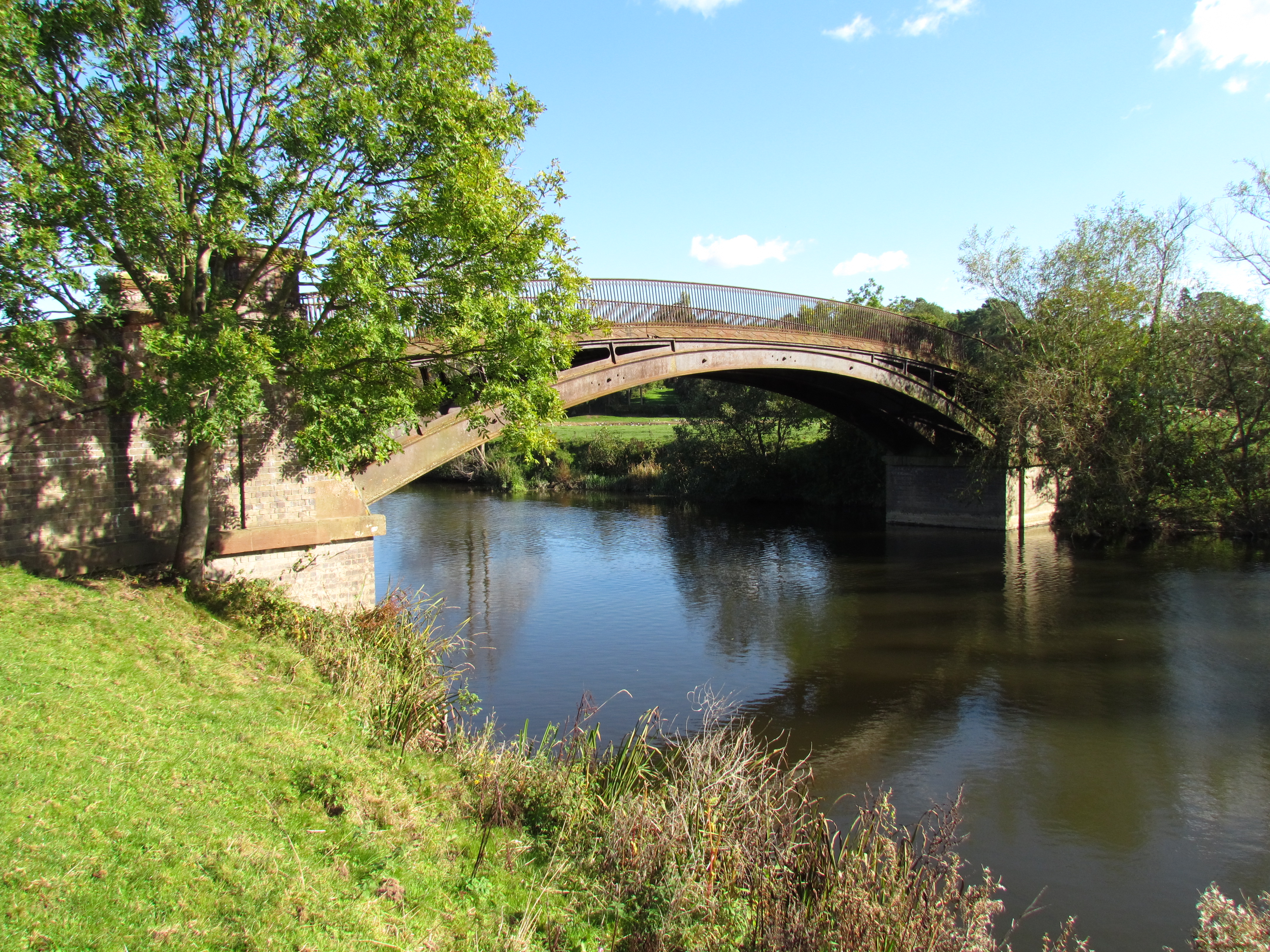
245:River Severn, Bevere Island Bridge
226:River Severn, Bevere Island Bridge
157:River Severn, Bevere Island Bridge
151:
134:
80:
455:
1115:Date and time of data generation
648:coordinates of the point of view
441:
397:Under the following conditions:
362:This file is licensed under the
354:
349:
343:
311:
290:
276:
268:
101:
31:
21:
438:
152:
14:
720:file available on the internet
437:
319:This image was taken from the
26:
1:
663:52°13'58.480"N, 2°14'24.313"W
36:
740:Geograph Britain and Ireland
540:object of statement has role
463:Items portrayed in this file
1199:Date and time of digitizing
267:
243:kevin skidmore /
224:kevin skidmore /
1327:
1025:Usage on www.wikidata.org
1015:Usage on fr.wikipedia.org
411:same or compatible license
1207:Meaning of each component
1172:File change date and time
888:
16:
924:17:49, 11 September 2017
763:geograph.org.uk image ID
440:
377:
108:This is a file from the
1078:Canon PowerShot SX30 IS
975:
945:
841:Canon PowerShot SX30 IS
215:required by the license
193:
183:
172:
165:
162:
144:
112:. Information from its
1228:Image compression mode
1202:13:41, 19 October 2010
1175:13:41, 19 October 2010
1118:13:41, 19 October 2010
1001:User:Gtanswell/sandbox
325:this photograph's page
296:52.232911; -2.240087
115:description page there
46:Size of this preview:
1264:Maximum land aperture
1156:Horizontal resolution
1267:2.96875 APEX (f/2.8)
954:08:44, 22 April 2011
74:4,320 × 3,240 pixels
70:2,560 × 1,920 pixels
1180:Y and C positioning
1164:Vertical resolution
1064:Camera manufacturer
941:Geograph Update Bot
392:– to adapt the work
52:Other resolutions:
527:author name string
66:1,280 × 960 pixels
62:1,024 × 768 pixels
1314:
1313:
1292:Rating (out of 5)
1089:1/250 sec (0.004)
1007:Global file usage
979:
639:
604:copyright license
449:
340:
339:
323:collection. See
301:
300:
250:
249:
218:
202:
199:Reusing this file
130:
129:
110:Wikimedia Commons
32:Global file usage
1318:
1141:
1057:
1047:
966:
936:
772:
767:
757:
752:
748:described at URL
742:
737:
685:
684:
679:
568:copyright status
549:
544:
534:
531:
521:
516:
433:
430:
427:
424:
421:
413:as the original.
375:
364:Creative Commons
358:
357:
353:
352:
347:
346:
333:Creative Commons
321:Geograph project
315:
308:
297:
294:
280:
279:
273:
272:
271:
265:
264:
253:
212:
196:
168:
156:
148:
142:
126:
105:
104:
98:
92:
90:
77:
58:640 × 480 pixels
54:320 × 240 pixels
48:800 × 600 pixels
1326:
1325:
1321:
1320:
1319:
1317:
1316:
1315:
1139:
1055:
1035:
1005:
987:
980:
972:
964:
942:
934:
890:
889:
886:
885:
884:
883:
882:
881:
880:
879:
877:
867:
866:
865:
863:
852:
851:
850:
849:
848:
847:
846:
845:
843:
831:
830:
829:
827:
816:
815:
814:
813:
812:
811:
810:
809:
807:
806:19 October 2010
797:
796:
795:
793:
782:
781:
780:
779:
778:
777:
776:
775:
774:
773:
768:
765:
759:
758:
753:
750:
744:
743:
738:
735:
726:
725:
724:
722:
710:
709:
708:
706:
695:
694:
693:
692:
691:
690:
689:
688:
687:
686:
682:
680:
677:
668:
667:
666:
664:
654:
653:
652:
650:
631:
630:
629:
628:
627:
626:
625:
624:
622:
610:
609:
608:
606:
595:
594:
593:
592:
591:
590:
589:
588:
586:
574:
573:
572:
570:
559:
558:
557:
556:
555:
554:
553:
552:
551:
550:
545:
542:
536:
535:
532:
529:
523:
522:
517:
514:
505:
504:
503:
501:
491:
490:
489:
487:
476:
475:
474:
473:
472:
470:
454:
453:
452:
435:
434:
431:
428:
425:
422:
419:
418:
376:
373:
370:
359:
336:
306:
295:
269:
260:
259:
256:Camera location
251:
240:
233:
221:
178:geograph.org.uk
167:19 October 2010
158:
146:
139:
132:
131:
120:
119:
118:is shown below.
94:
88:
86:
79:
78:
51:
12:
11:
5:
1324:
1322:
1312:
1311:
1310:
1309:
1306:
1301:
1297:
1296:
1293:
1289:
1288:
1285:
1279:
1278:
1275:
1269:
1268:
1265:
1261:
1260:
1257:
1251:
1250:
1247:
1243:
1242:
1239:
1233:
1232:
1229:
1225:
1224:
1223:
1222:
1221:does not exist
1219:
1216:
1213:
1208:
1204:
1203:
1200:
1196:
1195:
1192:
1185:
1184:
1181:
1177:
1176:
1173:
1169:
1168:
1165:
1161:
1160:
1157:
1153:
1152:
1149:
1145:
1144:
1143:
1142:
1135:
1131:
1130:
1127:
1120:
1119:
1116:
1112:
1111:
1108:
1101:
1100:
1097:
1091:
1090:
1087:
1081:
1080:
1075:
1071:
1070:
1065:
1061:
1060:
1059:
1058:
1051:
1038:
1034:
1033:
1032:
1031:
1023:
1022:
1021:
1009:
1008:
1004:
1003:
998:
993:
985:
984:
983:
978:
977:
974:
970:
967:
961:
956:
951:
948:
947:
944:
940:
937:
933:4,320 × 3,240
931:
926:
921:
917:
916:
913:
910:
907:
904:
901:
894:
893:
878:
875:
873:
872:
871:
870:
869:
868:
864:
859:
857:
856:
855:
854:
853:
844:
839:
837:
836:
835:
834:
833:
832:
828:
823:
821:
820:
819:
818:
817:
808:
805:
803:
802:
801:
800:
799:
798:
794:
789:
787:
786:
785:
784:
783:
761:
760:
746:
745:
731:
730:
729:
728:
727:
723:
718:
716:
715:
714:
713:
712:
711:
707:
704:source of file
702:
700:
699:
698:
697:
696:
673:
672:
671:
670:
669:
665:
662:
660:
659:
658:
657:
656:
655:
651:
646:
644:
643:
642:
641:
635:
623:
618:
616:
615:
614:
613:
612:
611:
607:
602:
600:
599:
598:
597:
596:
587:
582:
580:
579:
578:
577:
576:
575:
571:
566:
564:
563:
562:
561:
560:
538:
537:
533:kevin skidmore
525:
524:
510:
509:
508:
507:
506:
502:
499:
497:
496:
495:
494:
493:
492:
488:
483:
481:
480:
479:
478:
477:
471:
466:
464:
461:
460:
459:
458:
457:
446:
445:
442:
439:
417:
416:
415:
414:
404:
395:
394:
393:
387:
380:You are free:
374:kevin skidmore
371:
361:
360:
342:
338:
337:
329:kevin skidmore
316:
305:
302:
299:
298:
288:
282:
257:
248:
247:
241:
238:
235:
234:
229:
222:
219:
207:
206:
203:
191:
190:
188:kevin skidmore
185:
181:
180:
174:
170:
169:
164:
160:
159:
149:
140:
138:
135:
133:
128:
127:
106:
96:
95:
45:
41:
40:
39:
34:
29:
24:
19:
13:
10:
9:
6:
4:
3:
2:
1323:
1307:
1304:
1303:
1302:
1299:
1294:
1291:
1286:
1284:
1281:
1276:
1274:
1273:Metering mode
1271:
1266:
1263:
1258:
1256:
1255:Exposure bias
1253:
1248:
1246:APEX aperture
1245:
1240:
1238:
1237:Shutter speed
1235:
1230:
1227:
1220:
1217:
1214:
1211:
1210:
1209:
1206:
1201:
1198:
1193:
1190:
1187:
1182:
1179:
1174:
1171:
1166:
1163:
1158:
1155:
1150:
1147:
1138:
1136:
1133:
1128:
1126:
1122:
1117:
1114:
1109:
1106:
1103:
1098:
1096:
1093:
1088:
1086:
1085:Exposure time
1083:
1079:
1076:
1073:
1069:
1066:
1063:
1054:
1052:
1049:
1045:
1042:
1036:
1030:
1027:
1026:
1024:
1020:
1019:North Claines
1017:
1016:
1014:
1013:
1012:
1006:
1002:
999:
997:
996:North Claines
994:
992:
989:
981:
973:
968:
962:
960:
957:
955:
952:
950:
949:
943:
938:
932:
930:
927:
925:
922:
919:
918:
914:
911:
908:
905:
902:
900:
899:
897:
891:
862:
842:
826:
825:captured with
792:
771:
764:
756:
749:
741:
734:
721:
705:
676:
649:
621:
605:
585:
569:
548:
541:
528:
520:
513:
486:
469:
423:CC BY-SA 2.0
412:
408:
405:
402:
399:
398:
396:
391:
388:
385:
382:
381:
379:
378:
372:Attribution:
368:
365:
348:
334:
330:
326:
322:
317:
314:
310:
309:
303:
293:
289:
287:
286:OpenStreetMap
283:
281:
263:
258:
254:
246:
242:
237:
236:
232:
228: /
227:
223:
216:
211:
209:
208:
204:
200:
195:
192:
189:
186:
182:
179:
175:
171:
161:
155:
150:
143:
136:
124:
117:
116:
111:
107:
100:
99:
93:
84:
83:Original file
75:
71:
67:
63:
59:
55:
49:
44:
38:
35:
33:
30:
28:
25:
23:
20:
18:
15:
1308:River Severn
1125:focal length
1074:Camera model
1043:
1040:
1010:
895:
892:File history
547:photographer
406:
400:
389:
383:
328:
266:
244:
231:CC BY-SA 2.0
225:
153:
123:You can help
113:
81:
22:File history
1148:Orientation
1134:Short title
1050:Image title
971:Seth Whales
584:copyrighted
407:share alike
401:attribution
210:Attribution
145:Description
982:File usage
963:640 × 480
909:Dimensions
876:image/jpeg
861:media type
500:some value
194:Permission
89:image/jpeg
27:File usage
1105:ISO speed
1029:Q26356321
935:(4.86 MB)
906:Thumbnail
903:Date/Time
791:inception
304:Licensing
239:InfoField
220:InfoField
154:English:
1300:Keywords
1183:Co-sited
1129:4.997 mm
1095:F-number
1037:Metadata
965:(118 KB)
733:operator
444:Captions
390:to remix
384:to share
369:license.
37:Metadata
1277:Pattern
1241:7.96875
1191:version
1167:180 dpi
1159:180 dpi
920:current
915:Comment
770:2202612
675:heading
634:heading
485:creator
468:depicts
448:English
137:Summary
85:
1305:Bridge
1151:Normal
1107:rating
683:degree
638:degree
274:
184:Author
173:Source
1283:Flash
1123:Lens
1068:Canon
176:From
1189:Exif
912:User
432:true
429:true
163:Date
17:File
1194:2.3
1099:f/4
681:90
512:URL
1218:Cr
1215:Cb
1110:80
766::
751::
736::
678::
543::
530::
515::
72:|
68:|
64:|
60:|
56:|
50:.
1295:0
1259:0
1249:4
1231:3
1212:Y
217:)
213:(
201:)
197:(
125:.
91:)
76:.
Text is available under the Creative Commons Attribution-ShareAlike License. Additional terms may apply.
