38:
221:
227:
232:
94:
506:
279:– You must give appropriate credit, provide a link to the license, and indicate if changes were made. You may do so in any reasonable manner, but not in any way that suggests the licensor endorses you or your use.
817:
604:
812:
634:
68:
64:
60:
56:
679:
52:
48:
42:
210:
105:
77:
704:
769:
694:
417:
381:
749:
286:
365:
437:
401:
348:
699:
554:
689:
659:
897:
599:
183:
242:
719:
545:
The following pages on the
English Knowledge (XXG) use this file (pages on other projects are not listed):
764:
624:
579:
285:– If you remix, transform, or build upon the material, you must distribute your contributions under the
584:
559:
239:
143:
714:
744:
649:
644:
639:
528:
170:
774:
729:
594:
113:
709:
531:
highlighted. Equirectangular map projection on WGS 84 datum, with N/S stretched 160% |Source=
505:
500:
37:
867:
759:
674:
629:
167:
907:
827:
619:
574:
532:
754:
739:
724:
569:
516:
589:
100:
664:
198:
734:
614:
187:
156:
549:
684:
669:
654:
564:
148:
Equirectangular map projection on WGS 84 datum, with N/S stretched 160%
139:
176:
Coastline and administrative boundary data from
Boundary-Line product.
524:
802:
473:
Click on a date/time to view the file as it appeared at that time.
792:
609:
250:
Contains
Ordnance Survey data © Crown copyright and database right
887:
877:
847:
857:
88:
82:(SVG file, nominally 1,425 × 1,081 pixels, file size: 948 KB)
837:
332:
Add a one-line explanation of what this file represents
605:
Church of Our Lady of the
Assumption, Englefield Green
418:
Creative
Commons Attribution-ShareAlike 3.0 Unported
127:
112:
Commons is a freely licensed media file repository.
635:Grade II* listed buildings in Runnymede (district)
296:https://creativecommons.org/licenses/by-sa/3.0
93:
302:Creative Commons Attribution-Share Alike 3.0
220:
8:
262:– to copy, distribute and transmit the work
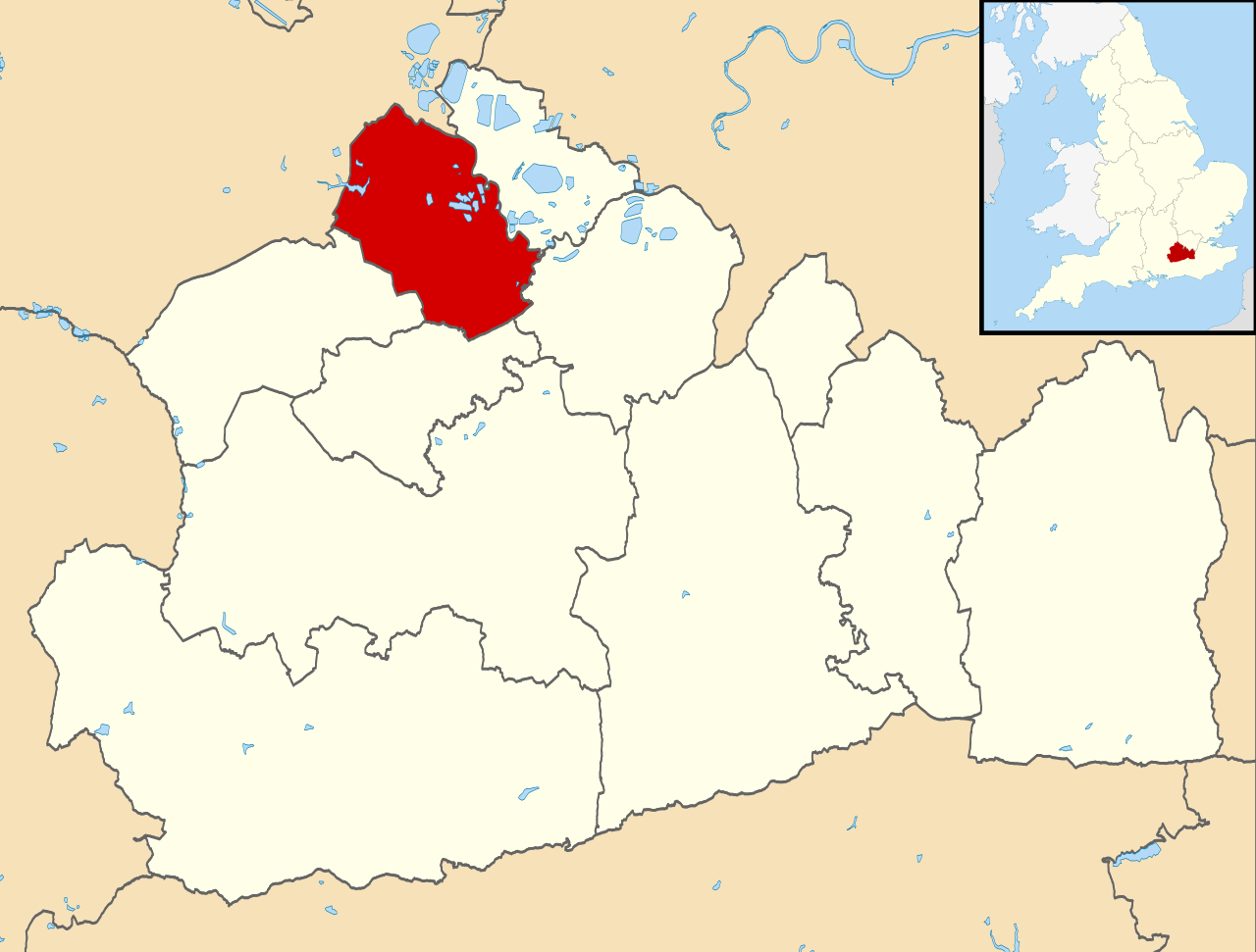
41:Size of this PNG preview of this SVG file:
475:
328:
785:The following other wikis use this file:
547:
451:
435:
415:
399:
379:
363:
346:
343:
324:
317:
7:
680:Royal Holloway, University of London
243:Attribution-Share Alike 3.0 Unported
201:, created using Ordnance Survey data
464:
231:
226:
705:St Peter's Hospital, Chertsey
523:{{Information |Description=Map of
337:
331:
217:
179:Lake data from Meridian 2 product.
125:
75:
695:Sir William Perkins's School
336:
770:Wraysbury Skiff and Punting Club
322:
273:Under the following conditions:
238:This file is licensed under the
230:
225:
219:
92:
31:
21:
319:
14:
750:Virginia Water railway station
318:
26:
1:
700:St John's Church, Egham
344:Items portrayed in this file
133:Runnymede UK locator map.svg
926:
904:Usage on zh.wikipedia.org
894:Usage on ur.wikipedia.org
884:Usage on sv.wikipedia.org
874:Usage on sh.wikipedia.org
864:Usage on ru.wikipedia.org
854:Usage on pl.wikipedia.org
844:Usage on nl.wikipedia.org
834:Usage on lv.wikipedia.org
824:Usage on ko.wikipedia.org
818:Category:バラ・オブ・ラニーミード出身の人物
809:Usage on ja.wikipedia.org
799:Usage on es.wikipedia.org
789:Usage on cy.wikipedia.org
555:Addlestone railway station
287:same or compatible license
813:Category:ラニーミード (ディストリクト)
690:Salesian School, Chertsey
660:Longcross railway station
465:
16:
600:Chertsey railway station
535:[https://www.ordnancesur
321:
253:
184:England location map.svg
99:This is a file from the
522:
205:
194:
162:
155:
152:
130:
103:. Information from its
803:Municipio de Runnymede
720:The Magna Carta School
106:description page there
793:Bwrdeistref Runnymede
765:Weybridge Rowing Club
715:Strode's College
625:Egham railway station
580:Chertsey Cricket Club
888:Borough of Runnymede
878:Runnymede (distrikt)
848:Runnymede (district)
585:Chertsey High School
560:Borough of Runnymede
501:09:28, 2 August 2011
69:1,425 × 1,081 pixels
65:2,560 × 1,942 pixels
858:Runnymede (borough)
745:Virginia Water Lake
650:Jubilee High School
645:Holloway Sanatorium
640:Hardwick Court Farm
268:– to adapt the work
182:Inset derived from
47:Other resolutions:
775:Template:Runnymede
730:Thorpe Interchange
595:Chertsey Town F.C.
61:1,280 × 971 pixels
57:1,013 × 768 pixels
781:Global file usage
710:Staines Boat Club
538:
402:copyright license
330:
315:
314:
214:
211:Reusing this file
121:
120:
101:Wikimedia Commons
32:Global file usage
917:
760:Wentworth Estate
675:Ottershaw School
630:Englefield Green
513:
366:copyright status
309:
306:
303:
300:
297:
289:as the original.
251:
240:Creative Commons
234:
233:
229:
228:
223:
222:
208:
158:
134:
128:
117:
96:
95:
89:
83:
72:
53:633 × 480 pixels
49:317 × 240 pixels
43:790 × 599 pixels
925:
924:
920:
919:
918:
916:
915:
914:
779:
620:Egham Town F.C.
575:Chertsey Bridge
546:
539:
533:Ordnance Survey
519:
511:
467:
466:
463:
462:
461:
460:
459:
458:
457:
456:
454:
444:
443:
442:
440:
429:
428:
427:
426:
425:
424:
423:
422:
420:
408:
407:
406:
404:
393:
392:
391:
390:
389:
388:
387:
386:
384:
372:
371:
370:
368:
357:
356:
355:
354:
353:
351:
335:
334:
333:
316:
311:
310:
307:
304:
301:
298:
295:
294:
252:
249:
246:
235:
168:Ordnance Survey
132:
123:
122:
111:
110:
109:is shown below.
85:
81:
74:
73:
46:
12:
11:
5:
923:
921:
913:
912:
911:
910:
902:
901:
900:
892:
891:
890:
882:
881:
880:
872:
871:
870:
862:
861:
860:
852:
851:
850:
842:
841:
840:
832:
831:
830:
822:
821:
820:
815:
807:
806:
805:
797:
796:
795:
783:
782:
778:
777:
772:
767:
762:
757:
755:Wentworth Club
752:
747:
742:
740:Virginia Water
737:
732:
727:
725:Thorpe, Surrey
722:
717:
712:
707:
702:
697:
692:
687:
682:
677:
672:
667:
662:
657:
652:
647:
642:
637:
632:
627:
622:
617:
612:
607:
602:
597:
592:
587:
582:
577:
572:
570:Chertsey Abbey
567:
562:
557:
552:
544:
543:
542:
537:
536:
521:
517:
514:
510:1,425 × 1,081
508:
503:
498:
494:
493:
490:
487:
484:
481:
478:
471:
470:
455:
452:
450:
449:
448:
447:
446:
445:
441:
436:
434:
433:
432:
431:
430:
421:
416:
414:
413:
412:
411:
410:
409:
405:
400:
398:
397:
396:
395:
394:
385:
380:
378:
377:
376:
375:
374:
373:
369:
364:
362:
361:
360:
359:
358:
352:
347:
345:
342:
341:
340:
339:
338:
327:
326:
323:
320:
313:
312:
293:
292:
291:
290:
280:
271:
270:
269:
263:
256:You are free:
247:
237:
236:
218:
215:
203:
202:
196:
192:
191:
181:
180:
177:
164:
160:
159:
154:
150:
149:
135:
126:
124:
119:
118:
97:
87:
86:
40:
36:
35:
34:
29:
24:
19:
13:
10:
9:
6:
4:
3:
2:
922:
909:
906:
905:
903:
899:
896:
895:
893:
889:
886:
885:
883:
879:
876:
875:
873:
869:
866:
865:
863:
859:
856:
855:
853:
849:
846:
845:
843:
839:
836:
835:
833:
829:
826:
825:
823:
819:
816:
814:
811:
810:
808:
804:
801:
800:
798:
794:
791:
790:
788:
787:
786:
780:
776:
773:
771:
768:
766:
763:
761:
758:
756:
753:
751:
748:
746:
743:
741:
738:
736:
733:
731:
728:
726:
723:
721:
718:
716:
713:
711:
708:
706:
703:
701:
698:
696:
693:
691:
688:
686:
683:
681:
678:
676:
673:
671:
668:
666:
663:
661:
658:
656:
653:
651:
648:
646:
643:
641:
638:
636:
633:
631:
628:
626:
623:
621:
618:
616:
613:
611:
608:
606:
603:
601:
598:
596:
593:
591:
590:Chertsey Lock
588:
586:
583:
581:
578:
576:
573:
571:
568:
566:
563:
561:
558:
556:
553:
551:
548:
540:
534:
530:
526:
520:
515:
509:
507:
504:
502:
499:
496:
495:
491:
488:
485:
482:
479:
477:
476:
474:
468:
453:2 August 2011
439:
419:
403:
383:
367:
350:
299:CC BY-SA 3.0
288:
284:
281:
278:
275:
274:
272:
267:
264:
261:
258:
257:
255:
254:
248:Attribution:
244:
241:
224:
216:
212:
207:
204:
200:
197:
193:
189:
185:
178:
175:
174:
173:
172:
169:
165:
161:
157:2 August 2011
151:
147:
146:highlighted.
145:
141:
136:
129:
115:
108:
107:
102:
98:
91:
90:
84:
79:
78:Original file
70:
66:
62:
58:
54:
50:
44:
39:
33:
30:
28:
25:
23:
20:
18:
15:
898:بورو رینیمیڈ
784:
665:Lyne, Surrey
472:
469:File history
282:
276:
265:
259:
166:
137:
114:You can help
104:
76:
22:File history
735:Thorpe Park
615:Egham Hythe
382:copyrighted
283:share alike
277:attribution
131:Description
550:Addlestone
541:File usage
527:, UK with
486:Dimensions
206:Permission
142:, UK with
27:File usage
685:Runnymede
670:Ottershaw
655:Longcross
529:Runnymede
518:Nilfanion
483:Thumbnail
480:Date/Time
438:inception
199:Nilfanion
144:Runnymede
868:Раннимид
838:Ranimīda
565:Chertsey
512:(948 KB)
325:Captions
266:to remix
260:to share
245:license.
188:Spischot
171:OpenData
497:current
492:Comment
349:depicts
329:English
138:Map of
80:
525:Surrey
195:Author
163:Source
140:Surrey
908:兰尼米德区
828:러니미드구
610:Egham
489:User
308:true
305:true
153:Date
17:File
186:by
67:|
63:|
59:|
55:|
51:|
45:.
213:)
209:(
190:.
116:.
71:.
Text is available under the Creative Commons Attribution-ShareAlike License. Additional terms may apply.
