38:
336:
269:
261:
283:
304:
342:
347:
94:
714:"}},"text\/plain":{"en":{"":"heading"}}},"{\"value\":{\"amount\":\"+337\",\"unit\":\"http:\\\/\\\/www.wikidata.org\\\/entity\\\/Q28390\"},\"type\":\"quantity\"}":{"text\/html":{"en":{"P7787":"337
850:
710:
394:– You must give appropriate credit, provide a link to the license, and indicate if changes were made. You may do so in any reasonable manner, but not in any way that suggests the licensor endorses you or your use.
60:
56:
52:
48:
42:
73:
105:
711:
189:
849:
844:
64:
37:
646:
610:
574:
276:
696:
311:
401:
537:
752:
725:
674:
630:
558:
530:
517:
502:
781:
689:
659:
594:
475:
458:
298:
919:
357:
877:
The following pages on the
English Knowledge (XXG) use this file (pages on other projects are not listed):
400:– If you remix, transform, or build upon the material, you must distribute your contributions under the
318:
on the
Geograph website for the photographer's contact details. The copyright on this image is owned by
354:
718:"}},"text\/plain":{"en":{"P7787":"337 degree"}}}}": -->
113:
221:
681:
666:
509:
205:
282:
323:
100:
881:
266:
157:
860:
178:
168:
303:
315:
817:
Click on a date/time to view the file as it appeared at that time.
268:
253:
53° 39′ 47.59″ N, 2° 44′ 20.14″ W
243:
88:
138:
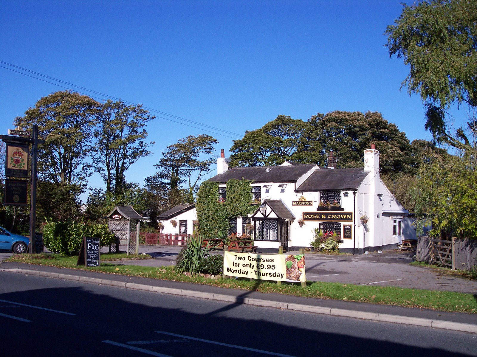
The Rose and Crown on
Southport Road (geograph 2121797).jpg
949:
899:
969:
959:
939:
929:
909:
442:
Add a one-line explanation of what this file represents
979:
78:(1,600 × 1,198 pixels, file size: 535 KB, MIME type:
196:
Creative
Commons Attribution Share-alike license 2.0
132:
112:
Commons is a freely licensed media file repository.
611:
Creative
Commons Attribution-ShareAlike 2.0 Generic
411:https://creativecommons.org/licenses/by-sa/2.0
93:
417:Creative Commons Attribution-Share Alike 2.0
335:
8:
715:
377:– to copy, distribute and transmit the work
819:
438:
892:The following other wikis use this file:
667:https://www.geograph.org.uk/photo/2121797
510:https://www.geograph.org.uk/profile/22522
879:
795:
779:
739:
723:
644:
628:
608:
592:
572:
556:
489:
473:
456:
453:
434:
427:
246:
867:Transferred from geograph.co.uk using
275:View this and other nearby images on:
7:
322:and is licensed for reuse under the
236:The Rose and Crown on Southport Road
217:The Rose and Crown on Southport Road
148:The Rose and Crown on Southport Road
808:
358:Attribution-Share Alike 2.0 Generic
346:
341:
326:Attribution-ShareAlike 2.0 license.
447:
441:
332:
309:
142:
125:
71:
446:
726:coordinates of the point of view
432:
388:Under the following conditions:
353:This file is licensed under the
345:
340:
334:
302:
281:
267:
259:
92:
31:
21:
429:
143:
14:
647:file available on the internet
428:
310:This image was taken from the
26:
1:
741:53°39'47.592"N, 2°44'20.141"W
697:Geograph Britain and Ireland
531:object of statement has role
454:Items portrayed in this file
258:
234:Raymond Knapman /
215:Raymond Knapman /
946:Usage on lld.wikipedia.org
896:Usage on ceb.wikipedia.org
998:
976:Usage on www.wikidata.org
966:Usage on tr.wikipedia.org
956:Usage on pl.wikipedia.org
936:Usage on it.wikipedia.org
926:Usage on fr.wikipedia.org
916:Usage on fa.wikipedia.org
906:Usage on cy.wikipedia.org
402:same or compatible license
809:
16:
675:geograph.org.uk image ID
431:
368:
99:This is a file from the
866:
206:required by the license
184:
174:
163:
156:
153:
135:
103:. Information from its
845:18:56, 18 January 2016
316:this photograph's page
287:53.663220; -2.738928
106:description page there
41:Size of this preview:
65:1,600 × 1,198 pixels
383:– to adapt the work
47:Other resolutions:
518:author name string
61:1,280 × 958 pixels
57:1,024 × 767 pixels
888:Global file usage
870:
717:
595:copyright license
440:
331:
330:
314:collection. See
292:
291:
241:
240:
209:
193:
190:Reusing this file
121:
120:
101:Wikimedia Commons
32:Global file usage
989:
857:
763:
762:
757:
699:
694:
684:
679:
669:
664:
660:described at URL
559:copyright status
540:
535:
525:
522:
512:
507:
424:
421:
418:
415:
412:
404:as the original.
366:
355:Creative Commons
349:
348:
344:
343:
338:
337:
324:Creative Commons
312:Geograph project
306:
299:
288:
285:
271:
270:
264:
263:
262:
256:
255:
244:
203:
187:
159:
147:
139:
133:
117:
96:
95:
89:
83:
81:
68:
53:640 × 479 pixels
49:320 × 240 pixels
43:800 × 599 pixels
997:
996:
992:
991:
990:
988:
987:
986:
886:
878:
871:
863:
855:
811:
810:
807:
806:
805:
804:
803:
802:
801:
800:
798:
797:20 October 2010
788:
787:
786:
784:
773:
772:
771:
770:
769:
768:
767:
766:
765:
764:
760:
758:
755:
746:
745:
744:
742:
732:
731:
730:
728:
709:
708:
707:
706:
705:
704:
703:
702:
701:
700:
695:
692:
686:
685:
680:
677:
671:
670:
665:
662:
653:
652:
651:
649:
637:
636:
635:
633:
622:
621:
620:
619:
618:
617:
616:
615:
613:
601:
600:
599:
597:
586:
585:
584:
583:
582:
581:
580:
579:
577:
565:
564:
563:
561:
550:
549:
548:
547:
546:
545:
544:
543:
542:
541:
536:
533:
527:
526:
524:Raymond Knapman
523:
520:
514:
513:
508:
505:
496:
495:
494:
492:
482:
481:
480:
478:
467:
466:
465:
464:
463:
461:
445:
444:
443:
426:
425:
422:
419:
416:
413:
410:
409:
367:
365:Raymond Knapman
364:
361:
350:
327:
320:Raymond Knapman
297:
286:
260:
251:
250:
247:Camera location
242:
231:
224:
212:
179:Raymond Knapman
169:geograph.org.uk
158:20 October 2010
149:
137:
130:
123:
122:
111:
110:
109:is shown below.
85:
79:
77:
70:
69:
46:
12:
11:
5:
995:
993:
985:
984:
983:
982:
974:
973:
972:
964:
963:
962:
954:
953:
952:
944:
943:
942:
934:
933:
932:
924:
923:
922:
914:
913:
912:
904:
903:
902:
890:
889:
885:
884:
876:
875:
874:
869:
868:
865:
861:
858:
854:1,600 × 1,198
852:
847:
842:
838:
837:
834:
831:
828:
825:
822:
815:
814:
799:
796:
794:
793:
792:
791:
790:
789:
785:
780:
778:
777:
776:
775:
774:
751:
750:
749:
748:
747:
743:
740:
738:
737:
736:
735:
734:
733:
729:
724:
722:
721:
720:
719:
713:
688:
687:
673:
672:
658:
657:
656:
655:
654:
650:
645:
643:
642:
641:
640:
639:
638:
634:
631:source of file
629:
627:
626:
625:
624:
623:
614:
609:
607:
606:
605:
604:
603:
602:
598:
593:
591:
590:
589:
588:
587:
578:
573:
571:
570:
569:
568:
567:
566:
562:
557:
555:
554:
553:
552:
551:
529:
528:
516:
515:
501:
500:
499:
498:
497:
493:
490:
488:
487:
486:
485:
484:
483:
479:
474:
472:
471:
470:
469:
468:
462:
457:
455:
452:
451:
450:
449:
448:
437:
436:
433:
430:
408:
407:
406:
405:
395:
386:
385:
384:
378:
371:You are free:
362:
352:
351:
333:
329:
328:
307:
296:
293:
290:
289:
279:
273:
248:
239:
238:
232:
229:
226:
225:
220:
213:
210:
198:
197:
194:
182:
181:
176:
172:
171:
165:
161:
160:
155:
151:
150:
140:
131:
129:
126:
124:
119:
118:
97:
87:
86:
40:
36:
35:
34:
29:
24:
19:
13:
10:
9:
6:
4:
3:
2:
994:
981:
978:
977:
975:
971:
968:
967:
965:
961:
958:
957:
955:
951:
948:
947:
945:
941:
938:
937:
935:
931:
928:
927:
925:
921:
918:
917:
915:
911:
908:
907:
905:
901:
898:
897:
895:
894:
893:
887:
883:
880:
872:
864:
859:
853:
851:
848:
846:
843:
840:
839:
835:
832:
829:
826:
823:
821:
820:
818:
812:
783:
754:
727:
698:
691:
683:
676:
668:
661:
648:
632:
612:
596:
576:
560:
539:
532:
519:
511:
504:
477:
460:
414:CC BY-SA 2.0
403:
399:
396:
393:
390:
389:
387:
382:
379:
376:
373:
372:
370:
369:
363:Attribution:
359:
356:
339:
325:
321:
317:
313:
308:
305:
301:
300:
294:
284:
280:
278:
277:OpenStreetMap
274:
272:
254:
249:
245:
237:
233:
228:
227:
223:
219: /
218:
214:
207:
202:
200:
199:
195:
191:
186:
183:
180:
177:
173:
170:
166:
162:
152:
146:
141:
134:
127:
115:
108:
107:
102:
98:
91:
90:
84:
75:
74:Original file
66:
62:
58:
54:
50:
44:
39:
33:
30:
28:
25:
23:
20:
18:
15:
970:Ulnes Walton
960:Ulnes Walton
950:Ulnes Walton
940:Ulnes Walton
930:Ulnes Walton
920:اولنس والتون
910:Ulnes Walton
900:Ulnes Walton
891:
882:Ulnes Walton
816:
813:File history
538:photographer
397:
391:
380:
374:
319:
257:
235:
222:CC BY-SA 2.0
216:
144:
114:You can help
104:
72:
22:File history
575:copyrighted
398:share alike
392:attribution
201:Attribution
136:Description
873:File usage
830:Dimensions
491:some value
185:Permission
80:image/jpeg
27:File usage
827:Thumbnail
824:Date/Time
782:inception
295:Licensing
230:InfoField
211:InfoField
145:English:
980:Q2468203
856:(535 KB)
690:operator
435:Captions
381:to remix
375:to share
360:license.
841:current
836:Comment
753:heading
712:heading
682:2121797
476:creator
459:depicts
439:English
128:Summary
76:
761:degree
716:degree
265:
175:Author
164:Source
862:EP111
167:From
833:User
759:337
423:true
420:true
154:Date
17:File
503:URL
756::
693::
678::
663::
534::
521::
506::
63:|
59:|
55:|
51:|
45:.
208:)
204:(
192:)
188:(
116:.
82:)
67:.
Text is available under the Creative Commons Attribution-ShareAlike License. Additional terms may apply.
.jpg)
.jpg¶ms=053.663220_N_-002.738928_E_globe:Earth_type:camera_heading:337.00&language=en)
