215:
335:
228:
104:
160:
402:
33:
115:
Files should have a summary to inform others of the content, author, source, and date if possible. If you know or have access to such information, please add it to the file page.
476:
350:
456:
451:
257:
132:
170:
242:
471:
295:
166:
424:
41:
269:
249:
186:
289:
317:
190:
305:
302:
If you think that a local copy of this file should be retained, then replace this
Template with
253:
227:
180:
420:
465:
175:
401:
396:
32:
343:
288:
If this file is freely licensed, but otherwise unsuitable for
Commons (e.g. out of
235:
82:
Aerial photo was made by the US Geological Survey and is in the public domain.
432:
Aerial photo was made by the US Geological Survey and is in the public domain.
412:
214:
312:
Please ensure that the file has a properly descriptive and unambiguous name
118:
Notify the uploader with: {{subst:add-author-I|1=Tiawah aerial photo.png}}
169:
employee, taken or made as part of that person's official duties. As a
369:
Click on a date/time to view the file as it appeared at that time.
292:, still copyrighted in the US), then replace this Template with
329:
222:
154:
98:
308:|reason=<Why a local copy is needed>}}
298:|reason=<Why it can't be moved>}}
318:Knowledge:File mover#What files should be renamed?
46:(799 × 600 pixels, file size: 391 KB, MIME type:
342:This file was suggested for transfer by a bot (
457:List of unincorporated communities in Oklahoma
241:Any user may perform this transfer; refer to
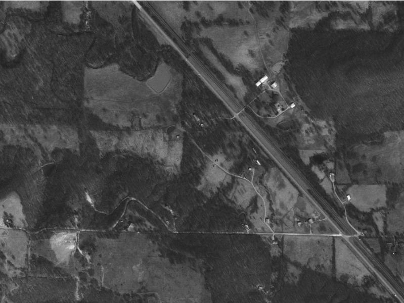
8:
452:List of census-designated places in Oklahoma
371:
61:
281:Endorse this file for transfer by adding
234:This file is a candidate to be copied to
179:in the US. For more information, see the
113:, and may be lacking other information.
449:
477:United States Geological Survey images
447:The following 2 pages use this file:
268:transfer it; repeat violators may be
159:
7:
171:work of the United States Government
349:. Please verify that this file is
55:
39:
283:|human=<your username>
243:Knowledge:Moving files to Commons
333:
226:
213:
158:
102:
21:
439:You cannot overwrite this file.
248:If this file has problems with
167:United States Geological Survey
72:Tiawah, Oklahoma, aerial photo
36:No higher resolution available.
14:
26:
1:
493:
165:This image is a work of a
328:
127:
94:
87:
77:
67:
16:
472:Files lacking an author
431:
353:before transferring it.
187:Knowledge:Public domain
42:Tiawah_aerial_photo.png
397:21:54, 2 February 2007
296:Do not move to Commons
173:, the image is in the
181:USGS copyright policy
351:suitable for Commons
191:Knowledge:Copyrights
64:
316:transferring; see
276:Other Instructions
260:for Commons, then
256:, or is otherwise
111:author information
62:
435:
361:
360:
357:
356:
285:to this Template.
236:Wikimedia Commons
221:
220:
193:for more details.
148:
147:
136:
133:Reusing this file
123:
122:
119:
109:This file has no
63:File information
484:
429:
428:
409:
348:
337:
336:
330:
309:
299:
284:
230:
223:
217:
208:
205:
202:
199:
162:
161:
155:
130:
117:
106:
105:
99:
65:
51:
49:
492:
491:
487:
486:
485:
483:
482:
481:
462:
461:
441:
436:
418:
417:
415:
407:
363:
362:
340:
334:
324:
323:
303:
293:
282:
277:
210:
206:
203:
200:
197:
153:
143:
129:
116:
114:
103:
60:
53:
47:
45:
38:
37:
12:
11:
5:
490:
488:
480:
479:
474:
464:
463:
460:
459:
454:
445:
444:
437:
434:
433:
430:
413:
410:
404:
399:
394:
390:
389:
386:
383:
380:
377:
374:
367:
366:
359:
358:
355:
354:
338:
326:
325:
322:
321:
310:
300:
290:Commons' scope
286:
278:
275:
274:
272:from editing.
231:
219:
218:
211:
195:
163:
152:
149:
146:
145:
137:
125:
124:
121:
120:
107:
96:
92:
91:
89:
85:
84:
79:
75:
74:
69:
59:
56:
54:
35:
31:
30:
29:
24:
19:
13:
10:
9:
6:
4:
3:
2:
489:
478:
475:
473:
470:
469:
467:
458:
455:
453:
450:
448:
442:
440:
426:
422:
416:
411:
405:
403:
400:
398:
395:
392:
391:
387:
384:
381:
378:
375:
373:
372:
370:
364:
352:
347:
345:
339:
332:
331:
327:
319:
315:
311:
307:
301:
297:
291:
287:
280:
279:
273:
271:
267:
264:this tag and
263:
259:
255:
251:
246:
245:for details.
244:
238:
237:
232:
229:
225:
224:
216:
212:
209:
201:Public domain
194:
192:
188:
182:
178:
177:
176:public domain
172:
168:
164:
157:
156:
150:
144:
141:
138:
134:
126:
112:
108:
101:
100:
97:
93:
90:
86:
83:
80:
76:
73:
70:
66:
57:
52:
43:
34:
28:
25:
23:
20:
18:
15:
446:
438:
368:
365:File history
344:User:Svenbot
341:
320:for details.
313:
304:{{
294:{{
265:
261:
247:
240:
233:
196:
184:
174:
142:
139:
110:
81:
71:
68:Description
40:
22:File history
250:attribution
140:See below.
466:Categories
443:File usage
406:799 × 600
382:Dimensions
306:Keep local
258:ineligible
128:Permission
27:File usage
379:Thumbnail
376:Date/Time
254:copyright
151:Licensing
48:image/png
425:contribs
408:(391 KB)
393:current
388:Comment
270:blocked
95:Author
78:Source
58:Summary
44:
314:before
266:DO NOT
262:remove
414:OKtag
207:false
204:false
88:Date
421:talk
385:User
239:.
189:and
185:See
17:File
468::
423:|
252:,
198:PD
183:.
427:)
419:(
346:)
135:)
131:(
50:)
Text is available under the Creative Commons Attribution-ShareAlike License. Additional terms may apply.