41:
34:
321:
85:
365:
287:
Diccionario
Quechua - Español - Quechua, Academía Mayor de la Lengua Quechua, Gobierno Regional Cusco, Cusco 2005 (Quechua-Spanish dictionary)
394:
389:
232:
is the name of a stream which flows from the ridge down to
Kirwamayu. The peaks east of Kiswarani Q'asa are named Wamanwachana
33:
358:
78:
218:
384:
257:
296:
Teofilo Laime
Ajacopa, Diccionario Bilingüe Iskay simipi yuyayk'ancha, La Paz, 2007 (Quechua-Spanish dictionary)
351:
209:. Its summit reaches about 4,862.8 m (15,954 ft) above sea level. The mountain is located in the
224:
Kiswarani Q'asa lies on a long ridge which extents from west to east along the river
Kirwamayu
214:
187:
133:
320:
166:
159:
335:
140:
378:
328:
210:
129:
100:
87:
331:
305:
escale.minedu.gob.pe - UGEL map of the
Espinar Province (Cusco Region)
175:
68:
202:
147:
206:
193:
mountain pass, "Kiswarani mountain pass" or "mountain pass with
125:
278:
Yatiqirinaka Aru Pirwa, Lima, 2005 (Aymara-Spanish dictionary)
339:
139:
121:
116:
77:
67:
62:
21:
359:
8:
40:
366:
352:
18:
249:
7:
317:
315:
14:
319:
39:
32:
73:4,862.8 m (15,954 ft)
1:
395:Cusco Region geography stubs
338:. You can help Knowledge by
411:
314:
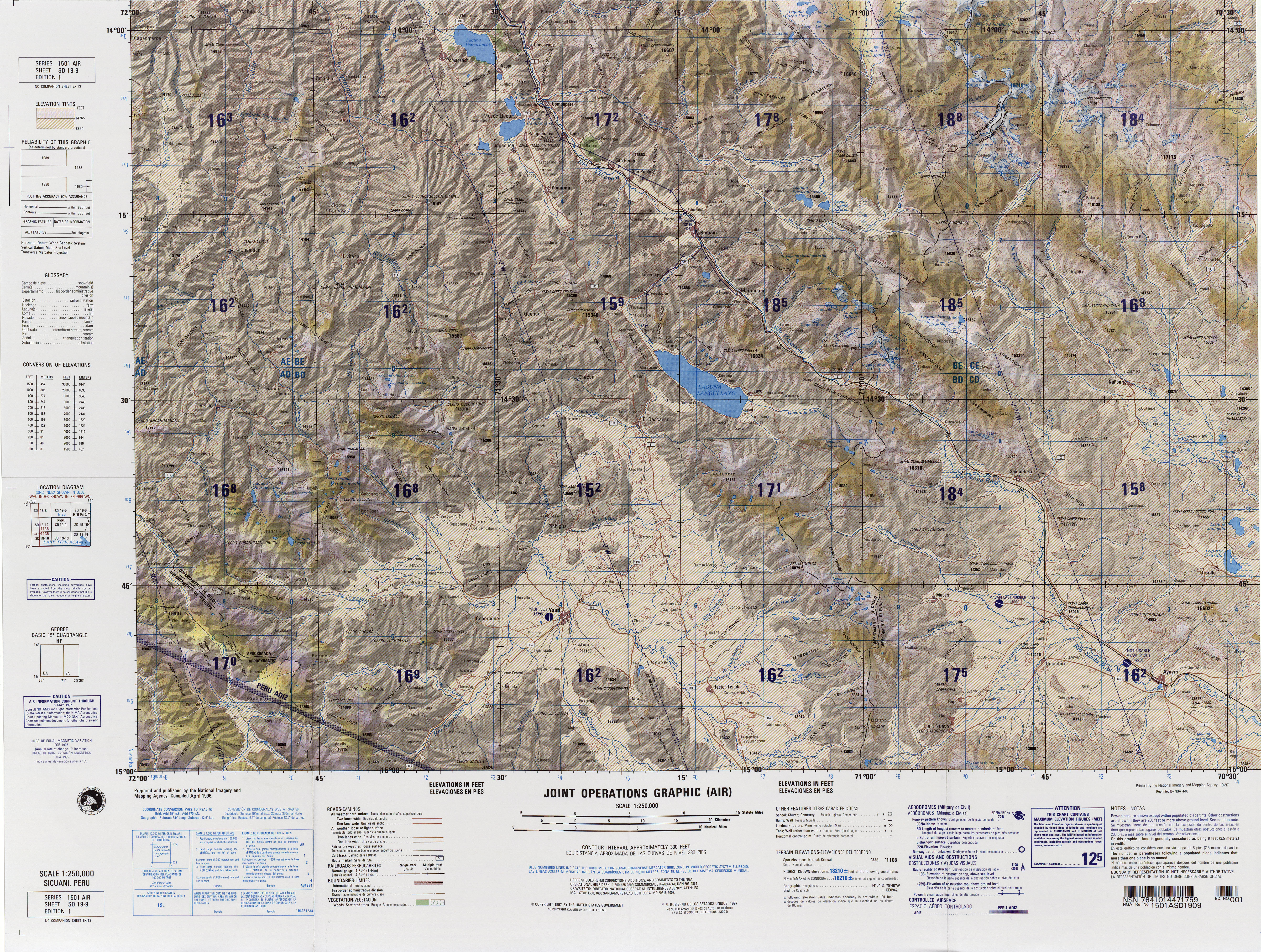
260:. Joint Operations Graphic
390:Mountains of Cusco Region
197:", Hispanicized spelling
26:
201:) is a mountain in the
228:south of it. Kiswarani
178:to indicate ownership,
101:14.76583°S 71.82500°W
258:"South America Maps"
106:-14.76583; -71.82500
97: /
219:Coporaque District
63:Highest point
385:Mountains of Peru
347:
346:
153:
152:
402:
368:
361:
354:
323:
316:
306:
303:
297:
294:
288:
285:
279:
276:
270:
269:
267:
265:
254:
234:(Huamanhuachana)
215:Espinar Province
143:
134:Espinar Province
112:
111:
109:
108:
107:
102:
98:
95:
94:
93:
90:
43:
42:
36:
19:
16:Mountain in Peru
410:
409:
405:
404:
403:
401:
400:
399:
375:
374:
373:
372:
312:
310:
309:
304:
300:
295:
291:
286:
282:
277:
273:
263:
261:
256:
255:
251:
246:
199:Quisuaraniccasa
167:Buddleja incana
156:Kiswarani Q'asa
141:
105:
103:
99:
96:
91:
88:
86:
84:
83:
58:
57:
56:
55:
54:
51:
50:
49:
48:
47:Kiswarani Q'asa
44:
22:Kiswarani Q'asa
17:
12:
11:
5:
408:
406:
398:
397:
392:
387:
377:
376:
371:
370:
363:
356:
348:
345:
344:
324:
308:
307:
298:
289:
280:
271:
248:
247:
245:
242:
182:"the one with
151:
150:
145:
137:
136:
123:
119:
118:
114:
113:
81:
75:
74:
71:
65:
64:
60:
59:
52:
46:
45:
38:
37:
31:
30:
29:
28:
27:
24:
23:
15:
13:
10:
9:
6:
4:
3:
2:
407:
396:
393:
391:
388:
386:
383:
382:
380:
369:
364:
362:
357:
355:
350:
349:
343:
341:
337:
334:article is a
333:
330:
325:
322:
318:
313:
302:
299:
293:
290:
284:
281:
275:
272:
259:
253:
250:
243:
241:
239:
235:
231:
230:(Quishuarani)
227:
226:(Querhuamayo)
222:
220:
216:
212:
208:
204:
200:
196:
192:
189:
185:
181:
177:
173:
169:
168:
164:
161:
157:
149:
146:
144:
138:
135:
131:
127:
124:
120:
115:
110:
82:
80:
76:
72:
70:
66:
61:
35:
25:
20:
340:expanding it
329:Cusco Region
326:
311:
301:
292:
283:
274:
262:. Retrieved
252:
237:
233:
229:
225:
223:
211:Cusco Region
198:
194:
190:
183:
179:
171:
165:
162:
155:
154:
142:Parent range
130:Cusco Region
104: /
79:Coordinates
379:Categories
244:References
236:and Kirwa
92:71°49′30″W
89:14°45′57″S
332:geography
238:(Querhua)
180:kiswarani
117:Geography
69:Elevation
122:Location
264:July 1,
195:kiswara
188:Quechua
184:kiswara
163:kiswara
176:suffix
160:Aymara
327:This
203:Andes
191:q'asa
148:Andes
336:stub
266:2014
207:Peru
186:",
126:Peru
53:Peru
205:of
172:-ni
381::
240:.
221:.
217:,
213:,
174:a
170:,
132:,
128:,
367:e
360:t
353:v
342:.
268:.
158:(
Text is available under the Creative Commons Attribution-ShareAlike License. Additional terms may apply.
