256:
268:
216:
244:
232:
40:
189:) creating a reservoir with the same name. At its maximum the reservoir is 32 km (20 mi) long and 27 km (17 mi) wide. Its surface area varies between 150 km (57.9 mi) and 300 km (116 mi).
101:) and flows south, it is joined by the Monoun River and flows south in the valley between the mountains Ngotsetzezan and Mount Yahou. It turns east at about 5° N latitude. Its mouth is at the
255:
267:
556:
386:
351:
CIFA technuical paper #18.1, Committee for Inland
Fisheries of Africa (CIFA), Food and Agriculture Organization of the United Nations (FAO), Rome,
335:
CIFA technical paper #26, Committee for Inland
Fisheries of Africa (CIFA), Food and Agriculture Organization of the United Nations (FAO), Rome,
311:
CIFA technical paper #26, Committee for Inland
Fisheries of Africa (CIFA), Food and Agriculture Organization of the United Nations (FAO), Rome,
585:
549:
356:
344:
320:
379:
161:
108:
73:
542:
243:
580:
575:
372:
215:
407:
395:
231:
59:
295:
17:
196:
that can be seen all year long, in the wild parts of the river, along with many birds, such as the
155:
445:
352:
340:
316:
526:
336:
312:
197:
455:
144:
569:
460:
415:
495:
490:
450:
425:
193:
148:
137:
505:
485:
470:
435:
430:
420:
333:
Status of fish stocks and fisheries of thirteen medium-sized
African reservoirs
309:
Status of fish stocks and fisheries of thirteen medium-sized
African reservoirs
500:
480:
465:
209:
102:
176:
163:
123:
110:
88:
75:
440:
205:
201:
21:
399:
67:
63:
45:
39:
364:
294:
1:1,000,000 - International Map of the World U.S. Army Map
Service,
151:
area, and played a key role in the history of the Bamiléké people.
214:
368:
219:
Bamendjing
Reservoir with Mount Yahou in upper right, NASA 2003
349:
Source book for the inland fishery resources of Africa: vol. 1
44:
The Noun River, during the dry season, a few kilometers after
347:
citing Vanden
Bossche, J. P. and Bernacsek, G. M. (1990)
530:
406:
32:
525:This article related to a river in Cameroon is a
550:
380:
8:
557:
543:
387:
373:
365:
284:
227:
290:
288:
261:Young boy on Noun River in Bamendjing.
136:), which itself is a tributary of the
29:
7:
522:
520:
529:. You can help Knowledge (XXG) by
143:It forms the boundary between the
14:
266:
254:
242:
230:
38:
20:. For the river in Nigeria, see
273:Children in locally made Canoes
16:For the river in Morocco, see
1:
331:van der Knaap, Martin (1994)
307:van der Knaap, Martin (1994)
154:The Noun River was dammed at
602:
519:
15:
37:
586:Cameroon geography stubs
220:
298:, 2nd Ed., April 1962
218:
192:The Noun River hosts
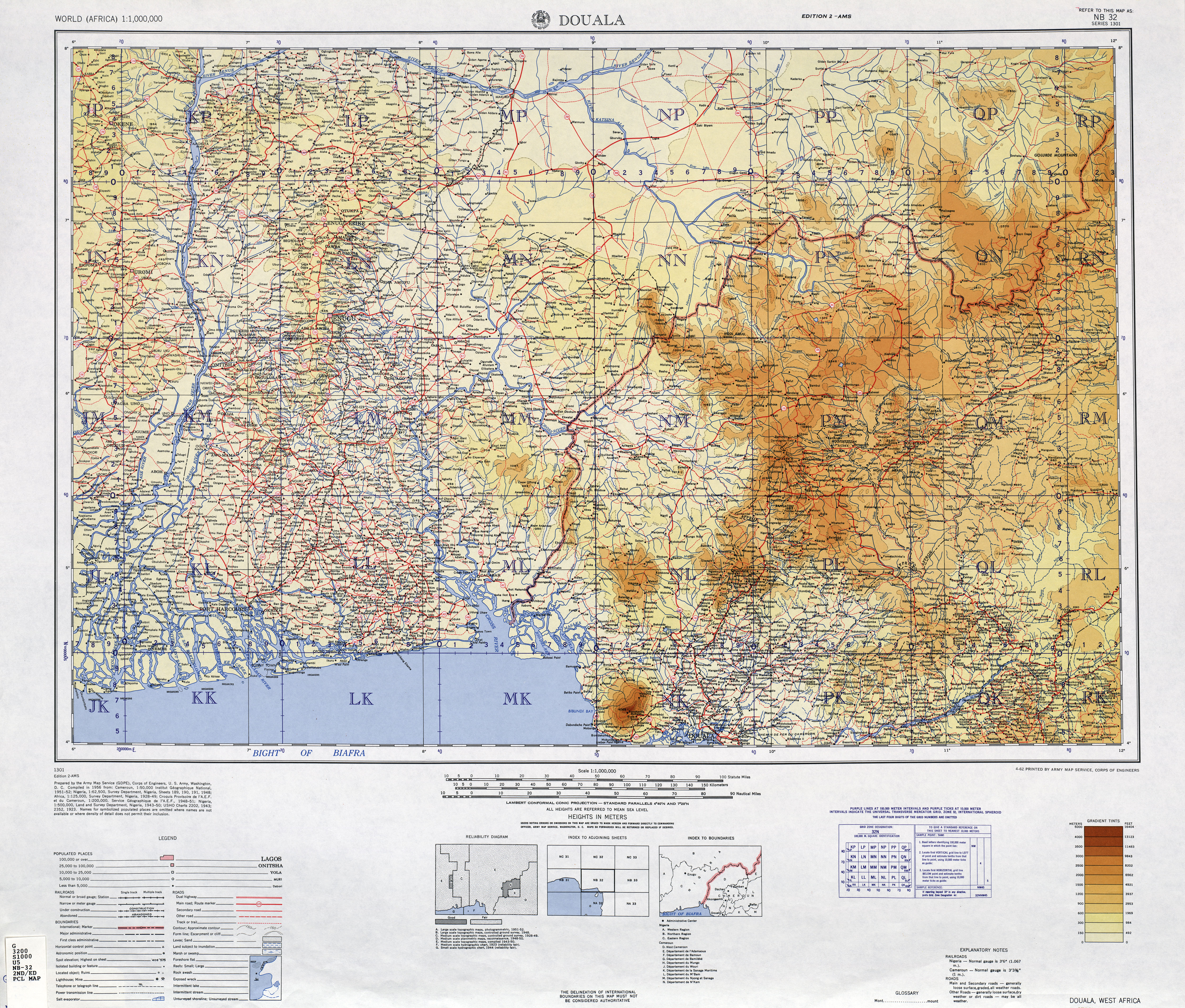
296:Sheet NB-32 (Douala)
237:Canoe on Noun River.
177:5.69861°N 10.50083°E
124:4.91167°N 11.10056°E
89:6.19278°N 10.45389°E
18:Noun River (Morocco)
173: /
120: /
85: /
581:Africa river stubs
576:Rivers of Cameroon
221:
58:is a river in the
538:
537:
514:
513:
182:5.69861; 10.50083
129:4.91167; 11.10056
94:6.19278; 10.45389
52:
51:
593:
559:
552:
545:
521:
389:
382:
375:
366:
359:
329:
323:
305:
299:
292:
270:
258:
246:
234:
198:palm nut vulture
188:
187:
185:
184:
183:
178:
174:
171:
170:
169:
166:
135:
134:
132:
131:
130:
125:
121:
118:
117:
116:
113:
100:
99:
97:
96:
95:
90:
86:
83:
82:
81:
78:
42:
30:
601:
600:
596:
595:
594:
592:
591:
590:
566:
565:
564:
563:
517:
515:
510:
402:
393:
363:
362:
330:
326:
306:
302:
293:
286:
281:
274:
271:
262:
259:
250:
247:
238:
235:
226:
181:
179:
175:
172:
167:
164:
162:
160:
159:
128:
126:
122:
119:
114:
111:
109:
107:
106:
93:
91:
87:
84:
79:
76:
74:
72:
71:
66:. It arises at
48:
28:
25:
12:
11:
5:
599:
597:
589:
588:
583:
578:
568:
567:
562:
561:
554:
547:
539:
536:
535:
512:
511:
509:
508:
503:
498:
493:
488:
483:
478:
473:
468:
463:
458:
453:
448:
443:
438:
433:
428:
423:
418:
412:
410:
404:
403:
394:
392:
391:
384:
377:
369:
361:
360:
324:
300:
283:
282:
280:
277:
276:
275:
272:
265:
263:
260:
253:
251:
248:
241:
239:
236:
229:
225:
222:
50:
49:
43:
35:
34:
26:
13:
10:
9:
6:
4:
3:
2:
598:
587:
584:
582:
579:
577:
574:
573:
571:
560:
555:
553:
548:
546:
541:
540:
534:
532:
528:
523:
518:
507:
504:
502:
499:
497:
494:
492:
489:
487:
484:
482:
479:
477:
474:
472:
469:
467:
464:
462:
459:
457:
454:
452:
449:
447:
444:
442:
439:
437:
434:
432:
429:
427:
424:
422:
419:
417:
414:
413:
411:
409:
405:
401:
397:
390:
385:
383:
378:
376:
371:
370:
367:
358:
357:92-5-102983-0
354:
350:
346:
345:92-5-103581-4
342:
338:
334:
328:
325:
322:
321:92-5-103581-4
318:
314:
310:
304:
301:
297:
291:
289:
285:
278:
269:
264:
257:
252:
245:
240:
233:
228:
223:
217:
213:
211:
207:
203:
199:
195:
190:
186:
157:
152:
150:
147:area and the
146:
141:
139:
133:
104:
98:
69:
65:
61:
60:West Province
57:
47:
41:
36:
31:
23:
19:
531:expanding it
524:
516:
475:
426:Boumba River
348:
332:
327:
308:
303:
194:hippopotamus
191:
153:
142:
138:Sanaga River
55:
53:
180: /
127: /
92: /
570:Categories
461:Mayo Kébbi
210:kingfisher
208:, and the
168:10°30′03″E
156:Bamendjing
115:11°06′02″E
103:Mbam River
80:10°27′14″E
56:Noun River
206:hammerkop
202:bee-eater
165:5°41′55″N
158:in 1975 (
112:4°54′42″N
77:6°11′34″N
22:Nun River
400:Cameroon
145:Bamiléké
68:Lake Oku
64:Cameroon
46:Bandjoun
337:page 11
313:page 11
224:Gallery
496:Sangha
491:Sanaga
451:Logone
408:Rivers
396:Rivers
355:
343:
319:
204:, the
200:, the
506:Wouri
486:Nyong
471:Ndjim
446:Kadéï
436:Chari
431:Campo
421:Benue
279:Notes
249:Canoe
149:Bamun
27:River
527:stub
501:Vina
481:Ntem
476:Noun
466:Mbam
456:Lélé
416:Aïna
353:ISBN
341:ISBN
317:ISBN
54:The
33:Noun
441:Dja
398:of
62:of
572::
339:,
315:,
287:^
212:.
140:.
558:e
551:t
544:v
533:.
388:e
381:t
374:v
105:(
70:(
24:.
Text is available under the Creative Commons Attribution-ShareAlike License. Additional terms may apply.


