210:
195:
152:
94:
38:
463:
1038:
1033:
434:
1148:
1043:
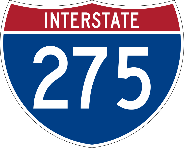
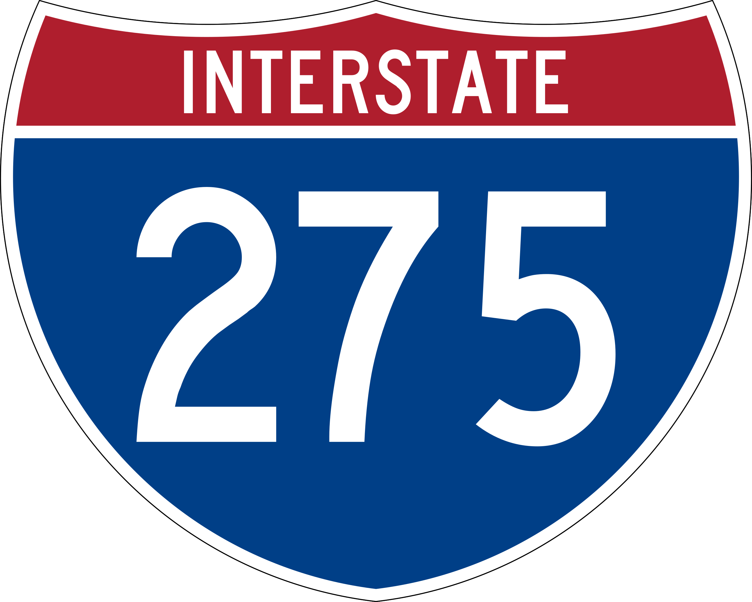
480:{{spuiother}} 750 mm by 600 mm (30 in by 24 in) Interstate shield, made to the specifications of the (sign M1-1). Uses the [http://www.triskele.com/fonts/index.html Roadgeek
271:. (United States law does not permit the copyrighting of typeface designs, and the fonts are meant to be copies of a U.S. Government-produced work anyway.) Colors are from
678:
1048:
222:
in some jurisdictions. If you want to use it, you have to ensure that you have the legal right to do so and that you do not infringe any trademark rights. See our
1053:
166:
828:
768:
623:
1000:
491:
868:
773:
232:
873:
503:
653:
378:
239:
277:. The outside border has a width of 1 (1 mm) and a color of black so it shows up; in reality, signs have no outside border.
1297:
343:
978:
643:
638:
356:
327:
371:
310:
259:
179:
Any traffic control device design or application provision contained in this Manual shall be considered to be in the
363:
683:
543:
523:
518:
928:
763:
673:
508:
988:
863:
833:
793:
788:
783:
688:
668:
548:
893:
818:
803:
778:
743:
648:
490:
More than 100 pages use this file. The following list shows the first 100 pages that use this file only. A
473:
993:
983:
878:
808:
798:
758:
618:
613:
608:
603:
598:
593:
588:
583:
573:
568:
563:
558:
498:
528:
223:
633:
578:
553:
64:
60:
838:
658:
68:
56:
52:
48:
42:
462:
457:
848:
823:
444:
209:
853:
843:
538:
113:
105:
258:
264:
77:
813:
753:
748:
513:
858:
171:
1258:
1273:
953:
908:
888:
713:
708:
703:
663:
250:
750 mm by 600 mm (30 in by 24 in) Interstate shield, made to the specifications of the
160:
1068:
973:
968:
963:
958:
948:
943:
938:
933:
923:
918:
913:
903:
898:
883:
738:
733:
728:
723:
718:
698:
218:
100:
275:
1123:
693:
628:
1283:
533:
272:
1288:
433:
428:
255:
251:
37:
194:
1223:
1113:
1243:
1023:
229:
This tag does not indicate the copyright status of the attached work.
1118:
187:, except for the Interstate Shield and any other items owned by FHWA.
1203:
1263:
401:
Click on a date/time to view the file as it appeared at that time.
1213:
1083:
1248:
1233:
1208:
1188:
1168:
1178:
204:
146:
88:
1198:
1253:
1138:
1133:
1128:
1018:
193:
1278:
1108:
185:
shall not be protected by a patent, trademark, or copyright
1103:
1098:
1093:
1088:
1078:
1073:
1228:
1063:
82:(SVG file, nominally 751 × 601 pixels, file size: 14 KB)
1163:
294:
Add a one-line explanation of what this file represents
1173:
1158:
1218:
1193:
1183:
274:(Pantone Red 187 and Blue 294), converted to RGB by
183:. Traffic control devices contained in this Manual
112:
Commons is a freely licensed media file repository.
1238:
379:
work of the federal government of the United States
93:
8:
1259:Wikivoyage talk:Routebox navigation/Archive
41:Size of this PNG preview of this SVG file:
1274:Anexo:Autopistas interestatales auxiliares
403:
290:
126:
1069:Detroit Metropolitan Wayne County Airport
1011:The following other wikis use this file:
167:Manual on Uniform Traffic Control Devices
215:This work includes material that may be
496:
341:
325:
308:
305:
286:
279:
1124:Diskussion:Tampa International Airport
679:Interstate 275 (Ohio–Indiana–Kentucky)
252:2004 edition of Standard Highway Signs
1284:Anexo:Carreteras estatales de Florida
829:Northville Charter Township, Michigan
769:List of auxiliary Interstate Highways
624:Frenchtown Charter Township, Michigan
151:
7:
172:states specifically on page I-1 that
869:Plymouth Charter Township, Michigan
774:List of crossings of the Ohio River
392:
265:
263:
874:Ronald Reagan Cross County Highway
299:
293:
125:
75:
504:Berlin Charter Township, Michigan
298:
654:Huron Charter Township, Michigan
284:
208:
150:
92:
31:
21:
281:
14:
1289:Condado de Campbell (Kentucky)
280:
26:
1:
1149:Βικιταξίδια:Πίνακας προτύπων
979:Van Buren Township, Michigan
644:Hillsborough River (Florida)
639:Hillsborough County, Florida
306:Items portrayed in this file
1155:Usage on en.wikivoyage.org
1145:Usage on el.wikivoyage.org
1114:Tampa International Airport
1015:Usage on bar.wikipedia.org
1314:
1270:Usage on es.wikipedia.org
1224:Saint Petersburg (Florida)
1060:Usage on de.wikipedia.org
1030:Usage on bn.wikipedia.org
684:Interstate 275 (Tennessee)
544:Daniel Carter Beard Bridge
524:Cincinnati Southern Bridge
519:Carroll Lee Cropper Bridge
170:, sign number M1-1, which
164:because it comes from the
1244:Wikivoyage:Template index
929:U.S. Route 24 in Michigan
764:Lee Roy Selmon Expressway
674:Interstate 275 (Michigan)
509:Campbell County, Kentucky
393:
16:
1119:Interstate 275 (Florida)
1039:এম-২৪৭ (মিশিগান হাইওয়ে)
1034:এম-২৯৪ (মিশিগান হাইওয়ে)
1024:Interstate 275 (Florida)
989:William H. Harsha Bridge
864:Pinellas County, Florida
834:Oakland County, Michigan
794:M-294 (Michigan highway)
789:M-247 (Michigan highway)
784:M-153 (Michigan highway)
689:Interstate 375 (Florida)
669:Interstate 275 (Florida)
549:Dearborn County, Indiana
364:United States of America
283:
99:This is a file from the
894:Tennessee State Route 1
819:Monroe County, Michigan
804:Manatee County, Florida
779:M-14 (Michigan highway)
744:Kenton County, Kentucky
649:Howard Frankland Bridge
479:
450:
357:applies to jurisdiction
103:. Information from its
1204:Milford-Miami Township
994:User:Atanamir/asdfasdf
984:Wayne County, Michigan
879:Sunshine Skyway Bridge
809:Markland Locks and Dam
799:M-5 (Michigan highway)
759:Knox County, Tennessee
619:Florida State Road 699
614:Florida State Road 694
609:Florida State Road 693
604:Florida State Road 692
599:Florida State Road 688
594:Florida State Road 687
589:Florida State Road 686
584:Florida State Road 678
574:Florida State Road 589
569:Florida State Road 582
564:Florida State Road 580
559:Florida State Road 579
499:Ash Township, Michigan
254:(sign M1-1). Uses the
198:
106:description page there
1264:Southern Wayne County
634:Hamilton County, Ohio
579:Florida State Road 60
554:Florida State Road 45
197:
1084:Flughafen Cincinnati
839:Ohio State Route 126
659:Indiana State Road 1
372:determination method
158:This file is in the
65:2,559 × 2,048 pixels
61:1,280 × 1,024 pixels
1214:Plymouth (Michigan)
849:Ohio State Route 32
824:North Country Trail
458:06:08, 5 April 2006
256:Roadgeek 2005 fonts
47:Other resolutions:
1044:ট্যাম্পা, ফ্লোরিডা
854:Ohio State Route 4
844:Ohio State Route 3
539:Dale Mabry Highway
429:06:55, 19 May 2007
235:is still required.
224:general disclaimer
199:
1298:more global usage
1249:Montgomery (Ohio)
1234:Springdale (Ohio)
1209:Monroe (Michigan)
1189:Hebron (Kentucky)
1169:Canton (Michigan)
1007:Global file usage
529:Combs–Hehl Bridge
483:
292:
248:
247:
244:
240:Commons:Licensing
203:
202:
145:
144:
121:
120:
101:Wikimedia Commons
32:Global file usage
1305:
1179:Farmington Hills
814:Monroe, Michigan
754:Kentucky Route 9
749:Kentucky Route 8
514:Canton, Michigan
475:SPUI~commonswiki
470:
441:
381:
376:
366:
361:
328:copyright status
269:
267:
243:
236:
228:
212:
205:
154:
153:
147:
141:
138:
135:
132:
127:
117:
96:
95:
89:
83:
72:
69:751 × 601 pixels
57:960 × 768 pixels
53:600 × 480 pixels
49:300 × 240 pixels
43:749 × 599 pixels
1313:
1312:
1308:
1307:
1306:
1304:
1303:
1302:
1199:Loveland (Ohio)
1139:U.S. Highway 92
1134:U.S. Highway 41
1129:U.S. Highway 27
1049:নক্সভিল, টেনেসি
1005:
859:Pinellas Bayway
484:
476:
468:
447:
439:
395:
394:
391:
390:
389:
388:
387:
386:
385:
384:
383:
382:
377:
374:
368:
367:
362:
359:
350:
349:
348:
346:
334:
333:
332:
330:
319:
318:
317:
316:
315:
313:
297:
296:
295:
270:
266:Wayback Machine
237:
230:
217:protected as a
139:
136:
133:
130:
123:
122:
111:
110:
109:is shown below.
85:
81:
74:
73:
46:
12:
11:
5:
1311:
1309:
1300:of this file.
1294:
1293:
1292:
1291:
1286:
1281:
1279:Interestatal 4
1276:
1268:
1267:
1266:
1261:
1256:
1254:Union Township
1251:
1246:
1241:
1236:
1231:
1226:
1221:
1216:
1211:
1206:
1201:
1196:
1191:
1186:
1181:
1176:
1171:
1166:
1161:
1153:
1152:
1151:
1143:
1142:
1141:
1136:
1131:
1126:
1121:
1116:
1111:
1109:Interstate 275
1106:
1101:
1096:
1091:
1086:
1081:
1076:
1071:
1066:
1058:
1057:
1056:
1051:
1046:
1041:
1036:
1028:
1027:
1026:
1021:
1019:Interstate 275
1009:
1008:
1003:to this file.
997:
996:
991:
986:
981:
976:
971:
966:
961:
956:
954:U.S. Route 441
951:
946:
941:
936:
931:
926:
921:
916:
911:
909:U.S. Route 127
906:
901:
896:
891:
889:Tampa Bay area
886:
881:
876:
871:
866:
861:
856:
851:
846:
841:
836:
831:
826:
821:
816:
811:
806:
801:
796:
791:
786:
781:
776:
771:
766:
761:
756:
751:
746:
741:
736:
731:
726:
721:
716:
714:Interstate 696
711:
709:Interstate 640
706:
704:Interstate 471
701:
696:
691:
686:
681:
676:
671:
666:
664:Interstate 175
661:
656:
651:
646:
641:
636:
631:
626:
621:
616:
611:
606:
601:
596:
591:
586:
581:
576:
571:
566:
561:
556:
551:
546:
541:
536:
531:
526:
521:
516:
511:
506:
501:
494:is available.
488:
487:
482:
481:
478:
474:
471:
465:
460:
455:
452:
451:
449:
445:
442:
436:
431:
426:
422:
421:
418:
415:
412:
409:
406:
399:
398:
370:
369:
355:
354:
353:
352:
351:
347:
342:
340:
339:
338:
337:
336:
335:
331:
326:
324:
323:
322:
321:
320:
314:
309:
307:
304:
303:
302:
301:
300:
289:
288:
285:
282:
246:
245:
213:
201:
200:
191:
190:
189:
155:
143:
142:
124:
119:
118:
97:
87:
86:
40:
36:
35:
34:
29:
24:
19:
13:
10:
9:
6:
4:
3:
2:
1310:
1301:
1299:
1290:
1287:
1285:
1282:
1280:
1277:
1275:
1272:
1271:
1269:
1265:
1262:
1260:
1257:
1255:
1252:
1250:
1247:
1245:
1242:
1240:
1237:
1235:
1232:
1230:
1227:
1225:
1222:
1220:
1217:
1215:
1212:
1210:
1207:
1205:
1202:
1200:
1197:
1195:
1192:
1190:
1187:
1185:
1182:
1180:
1177:
1175:
1172:
1170:
1167:
1165:
1162:
1160:
1157:
1156:
1154:
1150:
1147:
1146:
1144:
1140:
1137:
1135:
1132:
1130:
1127:
1125:
1122:
1120:
1117:
1115:
1112:
1110:
1107:
1105:
1104:Interstate 74
1102:
1100:
1099:Interstate 71
1097:
1095:
1094:Interstate 96
1092:
1090:
1089:Interstate 75
1087:
1085:
1082:
1080:
1079:Interstate 40
1077:
1075:
1074:Interstate 94
1072:
1070:
1067:
1065:
1062:
1061:
1059:
1055:
1054:আন্তঃরাজ্য ৯৬
1052:
1050:
1047:
1045:
1042:
1040:
1037:
1035:
1032:
1031:
1029:
1025:
1022:
1020:
1017:
1016:
1014:
1013:
1012:
1006:
1004:
1002:
995:
992:
990:
987:
985:
982:
980:
977:
975:
974:U.S. Route 92
972:
970:
969:U.S. Route 70
967:
965:
964:U.S. Route 52
962:
960:
959:U.S. Route 50
957:
955:
952:
950:
949:U.S. Route 42
947:
945:
944:U.S. Route 41
942:
940:
939:U.S. Route 27
937:
935:
934:U.S. Route 25
932:
930:
927:
925:
924:U.S. Route 24
922:
920:
919:U.S. Route 22
917:
915:
914:U.S. Route 19
912:
910:
907:
905:
904:U.S. Route 12
902:
900:
899:U.S. Route 11
897:
895:
892:
890:
887:
885:
884:Tamiami Trail
882:
880:
877:
875:
872:
870:
867:
865:
862:
860:
857:
855:
852:
850:
847:
845:
842:
840:
837:
835:
832:
830:
827:
825:
822:
820:
817:
815:
812:
810:
807:
805:
802:
800:
797:
795:
792:
790:
787:
785:
782:
780:
777:
775:
772:
770:
767:
765:
762:
760:
757:
755:
752:
750:
747:
745:
742:
740:
739:Interstate 96
737:
735:
734:Interstate 94
732:
730:
729:Interstate 75
727:
725:
724:Interstate 74
722:
720:
719:Interstate 71
717:
715:
712:
710:
707:
705:
702:
700:
699:Interstate 40
697:
695:
692:
690:
687:
685:
682:
680:
677:
675:
672:
670:
667:
665:
662:
660:
657:
655:
652:
650:
647:
645:
642:
640:
637:
635:
632:
630:
627:
625:
622:
620:
617:
615:
612:
610:
607:
605:
602:
600:
597:
595:
592:
590:
587:
585:
582:
580:
577:
575:
572:
570:
567:
565:
562:
560:
557:
555:
552:
550:
547:
545:
542:
540:
537:
535:
532:
530:
527:
525:
522:
520:
517:
515:
512:
510:
507:
505:
502:
500:
497:
495:
493:
485:
477:
472:
466:
464:
461:
459:
456:
454:
453:
448:
443:
437:
435:
432:
430:
427:
424:
423:
419:
416:
413:
410:
407:
405:
404:
402:
396:
380:
373:
365:
358:
345:
344:public domain
329:
312:
278:
276:
273:
268:
261:
257:
253:
241:
234:
233:copyright tag
227:
225:
221:
220:
214:
211:
207:
206:
196:
192:
188:
186:
182:
181:public domain
177:
176:
175:
173:
168:
165:
163:
162:
161:public domain
156:
149:
148:
134:Public domain
131:Public domain
129:
128:
115:
108:
107:
102:
98:
91:
90:
84:
79:
78:Original file
70:
66:
62:
58:
54:
50:
44:
39:
33:
30:
28:
25:
23:
20:
18:
15:
1295:
1064:Interstate 4
1010:
998:
694:Interstate 4
629:Gandy Bridge
489:
400:
397:File history
260:archive copy
249:
216:
184:
180:
178:
169:
159:
157:
114:You can help
104:
76:
22:File history
1229:Sharonville
1001:more links
534:Corridor D
486:File usage
467:751 × 601
438:751 × 601
414:Dimensions
27:File usage
1164:Bradenton
492:full list
411:Thumbnail
408:Date/Time
231:A normal
219:trademark
1174:Carleton
1159:Blue Ash
446:Ltljltlj
287:Captions
1219:Romulus
1194:Livonia
1184:Florida
469:(13 KB)
440:(14 KB)
425:current
420:Comment
311:depicts
291:English
262:at the
80:
1296:View
1239:Tampa
999:View
140:false
137:false
417:User
238:See
17:File
375::
360::
67:|
63:|
59:|
55:|
51:|
45:.
242:.
226:.
174::
116:.
71:.
Text is available under the Creative Commons Attribution-ShareAlike License. Additional terms may apply.

.svg)
